8 Flat Rocks Rd Cornwall Bridge, CT 06754
Estimated Value: $1,504,000 - $3,194,782
3
Beds
5
Baths
4,344
Sq Ft
$604/Sq Ft
Est. Value
About This Home
This home is located at 8 Flat Rocks Rd, Cornwall Bridge, CT 06754 and is currently estimated at $2,623,594, approximately $603 per square foot. 8 Flat Rocks Rd is a home located in Litchfield County with nearby schools including Cornwall Consolidated School and Housatonic Valley Regional High School.
Ownership History
Date
Name
Owned For
Owner Type
Purchase Details
Closed on
Aug 16, 2007
Sold by
Cohen Lawrence B and Cohen Nancy O
Bought by
Meyers Robert I and Saltzman Harriet R
Current Estimated Value
Home Financials for this Owner
Home Financials are based on the most recent Mortgage that was taken out on this home.
Original Mortgage
$1,900,000
Outstanding Balance
$867,671
Interest Rate
6.87%
Mortgage Type
Purchase Money Mortgage
Estimated Equity
$1,755,923
Purchase Details
Closed on
Jan 3, 1995
Sold by
New Milford Sb
Bought by
Stebbins William M and Stebbins Dorothy G
Create a Home Valuation Report for This Property
The Home Valuation Report is an in-depth analysis detailing your home's value as well as a comparison with similar homes in the area
Home Values in the Area
Average Home Value in this Area
Purchase History
| Date | Buyer | Sale Price | Title Company |
|---|---|---|---|
| Meyers Robert I | $2,100,000 | -- | |
| Stebbins William M | $35,000 | -- |
Source: Public Records
Mortgage History
| Date | Status | Borrower | Loan Amount |
|---|---|---|---|
| Open | Stebbins William M | $1,900,000 | |
| Previous Owner | Stebbins William M | $99,900 |
Source: Public Records
Tax History
| Year | Tax Paid | Tax Assessment Tax Assessment Total Assessment is a certain percentage of the fair market value that is determined by local assessors to be the total taxable value of land and additions on the property. | Land | Improvement |
|---|---|---|---|---|
| 2025 | $24,534 | $1,537,200 | $413,300 | $1,123,900 |
| 2024 | $23,519 | $1,537,200 | $413,300 | $1,123,900 |
| 2023 | $22,597 | $1,537,200 | $413,300 | $1,123,900 |
| 2022 | $22,274 | $1,537,200 | $413,300 | $1,123,900 |
| 2021 | $22,072 | $1,321,700 | $364,000 | $957,700 |
| 2020 | $22,423 | $1,342,700 | $364,000 | $978,700 |
| 2019 | $22,423 | $1,342,700 | $364,000 | $978,700 |
| 2018 | $22,316 | $1,342,700 | $364,000 | $978,700 |
| 2017 | $21,644 | $1,342,700 | $364,000 | $978,700 |
| 2016 | $20,376 | $1,330,900 | $302,200 | $1,028,700 |
| 2015 | $20,137 | $1,330,900 | $302,200 | $1,028,700 |
| 2014 | $19,830 | $1,330,900 | $302,200 | $1,028,700 |
Source: Public Records
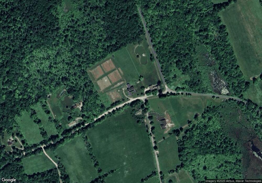
Map
Nearby Homes
- 11 Day Rd
- 143 Whitcomb Hill Rd
- 102 Melius Rd
- 70 Kent Rd S
- 0 Lake Rd
- 34 Kent Rd
- 00 Above All Rd
- 0 Stonewall Unit 39
- 11 Old Paddock Ln
- 50 Popple Swamp Rd
- 28 Headquarters Rd
- 9 Jewell St
- 0 Mount Mauwee Rd
- 0 Gorham Rd Unit 24138133
- 0 Mountain Lake Rd
- 25 Mountain Lake Rd
- 00 Upper Kent Hollow Rd
- 132 Curtiss Rd
- 0 Curtiss Rd
- 51 Curtiss Rd
- 2 Pritchard Rd
- 0 Day Rd Unit L10184172
- 221 Flat Rocks Rd
- 12 Day Rd Unit 11A
- 2 Pritchard Rd
- 10 Pritchard Rd
- 210 Flat Rocks Rd
- 00 Day Rd
- 35 Pritchard Rd
- 35 Prichard Rd
- 35 Pritchard Rd
- 35 Pritchard Rd
- 13 Day Rd
- 22 Pritchard Rd
- lot 4&5 Day Rd
- lot4&5 Day Rd
- 21 Day Rd
- 6 Day Rd
- 192 Flat Rocks Rd
- 111 Pritchard Rd
Your Personal Tour Guide
Ask me questions while you tour the home.