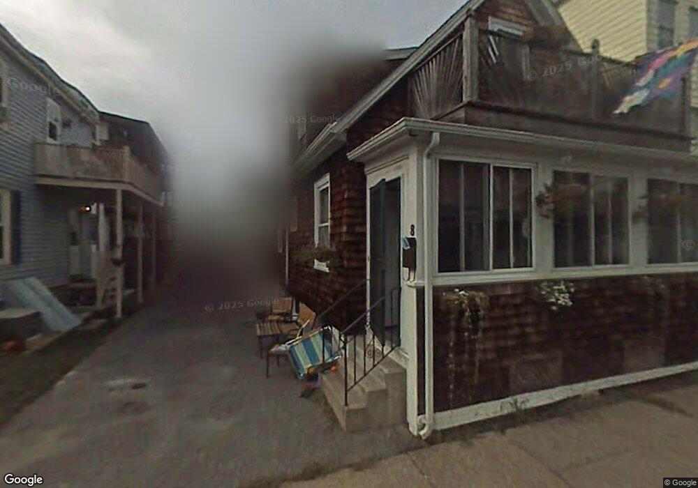
8 Forrest St Winthrop, MA 02152
Winthrop Beach NeighborhoodEstimated Value: $518,897 - $619,000
3
Beds
1
Bath
1,150
Sq Ft
$487/Sq Ft
Est. Value
About This Home
This home is located at 8 Forrest St, Winthrop, MA 02152 and is currently estimated at $559,974, approximately $486 per square foot. 8 Forrest St is a home located in Suffolk County with nearby schools including William P. Gorman/Fort Banks Elementary School, Arthur T. Cummings Elementary School, and Winthrop Middle School.
Ownership History
Date
Name
Owned For
Owner Type
Purchase Details
Closed on
Nov 7, 2024
Sold by
Sablone Diana M
Bought by
Diana M Sablone Ft and Shaw
Current Estimated Value
Purchase Details
Closed on
Jul 7, 2005
Sold by
Wolfram Elizabeth M and Wolfram William J
Bought by
Sablone Diana M
Home Financials for this Owner
Home Financials are based on the most recent Mortgage that was taken out on this home.
Original Mortgage
$80,000
Interest Rate
5.71%
Mortgage Type
Purchase Money Mortgage
Create a Home Valuation Report for This Property
The Home Valuation Report is an in-depth analysis detailing your home's value as well as a comparison with similar homes in the area
Home Values in the Area
Average Home Value in this Area
Purchase History
| Date | Buyer | Sale Price | Title Company |
|---|---|---|---|
| Diana M Sablone Ft | -- | None Available | |
| Diana M Sablone Ft | -- | None Available | |
| Sablone Diana M | $329,000 | -- | |
| Sablone Diana M | $329,000 | -- |
Source: Public Records
Mortgage History
| Date | Status | Borrower | Loan Amount |
|---|---|---|---|
| Previous Owner | Sablone Diana M | $80,000 |
Source: Public Records
Tax History
| Year | Tax Paid | Tax Assessment Tax Assessment Total Assessment is a certain percentage of the fair market value that is determined by local assessors to be the total taxable value of land and additions on the property. | Land | Improvement |
|---|---|---|---|---|
| 2025 | $4,718 | $457,200 | $283,400 | $173,800 |
| 2024 | $4,717 | $452,700 | $272,400 | $180,300 |
| 2023 | $4,518 | $422,200 | $249,400 | $172,800 |
| 2022 | $4,363 | $371,000 | $222,600 | $148,400 |
| 2021 | $4,351 | $343,100 | $198,800 | $144,300 |
| 2020 | $4,330 | $343,100 | $198,800 | $144,300 |
| 2019 | $4,226 | $320,600 | $183,200 | $137,400 |
| 2018 | $4,072 | $287,600 | $157,200 | $130,400 |
| 2017 | $3,744 | $259,800 | $139,300 | $120,500 |
| 2016 | $3,667 | $238,600 | $121,100 | $117,500 |
| 2015 | $3,328 | $232,100 | $117,600 | $114,500 |
| 2014 | $3,333 | $213,900 | $109,300 | $104,600 |
Source: Public Records
Map
Nearby Homes
- 11 Pearl Ave
- 304 Shirley St
- 26 Forrest St Unit 1
- 279 Shirley St Unit 2
- 23 Trident Ave Unit 1
- 37 Trident Ave
- 53 Trident Ave Unit 204
- 43-45 Ocean Ave
- 203 Winthrop Shore Dr Unit 2
- 247 Washington Ave Unit 9
- 247 Washington Ave Unit 10
- 142 Washington Ave
- 130 Shirley St Unit 202
- 140 Shirley St Unit 201
- 140 Shirley St Unit 310
- 140 Shirley St Unit 204
- 10-12 Charles St
- 19 Moore St
- 600 Shirley St Unit 1
- 600 Shirley St Unit 4
- 12 Forrest St Unit 14
- 12 Forrest St Unit 1
- 12 Forrest St Unit 2
- 16 Forrest St Unit 3
- 12 Forrest St Unit 12
- 362 Shirley St
- 15 Dolphin Ave
- 15 Dolphin Ave Unit 2
- 9 Dolphin Ave
- 5 Dolphin Ave
- 352 Shirley St Unit 2
- 354 Shirley St Unit 3
- 354 Shirley St Unit 1
- 370 Shirley St
- 18 Forrest St
- 19 Dolphin Ave
- 11 Forrest St
- 11 Forrest St Unit 2
- 17 Forrest St
- 17 Forrest St Unit 1
Your Personal Tour Guide
Ask me questions while you tour the home.