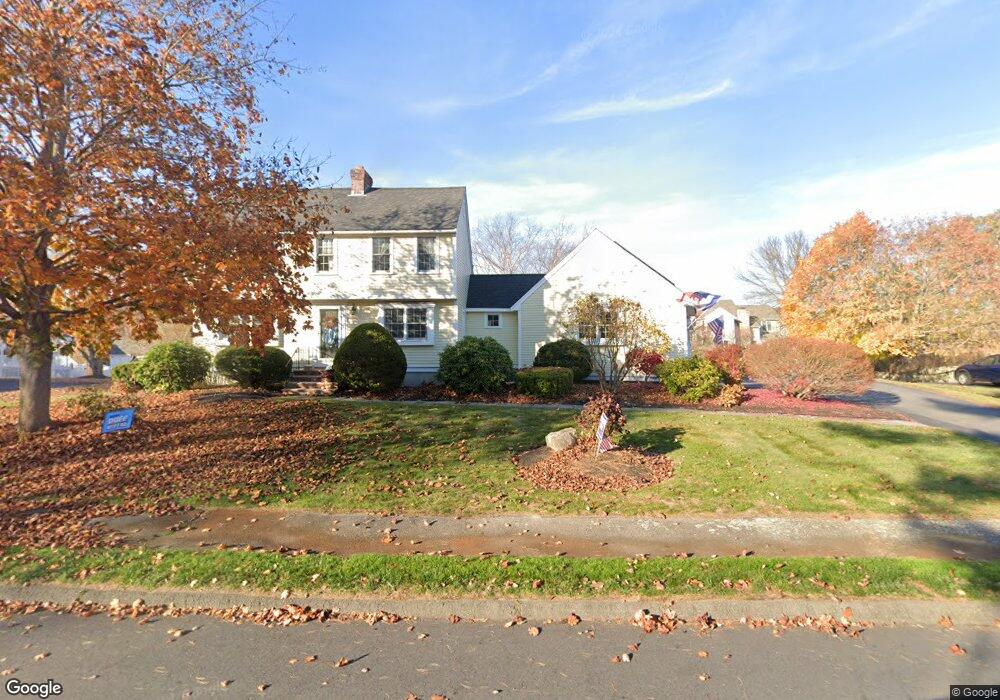
8 Fox Run Dr Newburyport, MA 01950
Estimated Value: $1,057,000 - $1,258,000
4
Beds
3
Baths
2,433
Sq Ft
$483/Sq Ft
Est. Value
About This Home
This home is located at 8 Fox Run Dr, Newburyport, MA 01950 and is currently estimated at $1,174,268, approximately $482 per square foot. 8 Fox Run Dr is a home located in Essex County with nearby schools including Francis T. Bresnahan Elementary School, Edward G. Molin Elementary School, and Rupert A. Nock Middle School.
Ownership History
Date
Name
Owned For
Owner Type
Purchase Details
Closed on
Mar 31, 2023
Sold by
Haaser Ann S and Haaser Charles B
Bought by
C & Ann Haaser Ret
Current Estimated Value
Purchase Details
Closed on
Mar 30, 2001
Sold by
Kolean Michael J and Kolean Jennifer E
Bought by
Haaser Charles B and Haaser Ann S
Purchase Details
Closed on
Dec 18, 1992
Sold by
Jcp Trust and Bannen Margaret
Bought by
Leahy Martin J and Leahy Nancy J
Purchase Details
Closed on
Dec 29, 1989
Sold by
Bencur Constr Co
Bought by
Barry Michael
Create a Home Valuation Report for This Property
The Home Valuation Report is an in-depth analysis detailing your home's value as well as a comparison with similar homes in the area
Home Values in the Area
Average Home Value in this Area
Purchase History
| Date | Buyer | Sale Price | Title Company |
|---|---|---|---|
| C & Ann Haaser Ret | -- | None Available | |
| Haaser Charles B | $383,000 | -- | |
| Leahy Martin J | $188,500 | -- | |
| Barry Michael | $284,900 | -- | |
| Barry Michael | $284,900 | -- |
Source: Public Records
Mortgage History
| Date | Status | Borrower | Loan Amount |
|---|---|---|---|
| Previous Owner | Barry Michael | $359,000 | |
| Previous Owner | Barry Michael | $340,989 |
Source: Public Records
Tax History Compared to Growth
Tax History
| Year | Tax Paid | Tax Assessment Tax Assessment Total Assessment is a certain percentage of the fair market value that is determined by local assessors to be the total taxable value of land and additions on the property. | Land | Improvement |
|---|---|---|---|---|
| 2025 | $9,236 | $964,100 | $477,700 | $486,400 |
| 2024 | $8,935 | $896,200 | $434,200 | $462,000 |
| 2023 | $8,074 | $751,800 | $377,700 | $374,100 |
| 2022 | $7,919 | $659,400 | $314,600 | $344,800 |
| 2021 | $7,545 | $596,900 | $286,100 | $310,800 |
| 2020 | $7,572 | $589,700 | $286,100 | $303,600 |
| 2019 | $7,713 | $589,700 | $286,100 | $303,600 |
| 2018 | $7,317 | $551,800 | $272,600 | $279,200 |
| 2017 | $7,314 | $543,800 | $259,700 | $284,100 |
| 2016 | $6,892 | $514,700 | $236,500 | $278,200 |
| 2015 | $6,866 | $514,700 | $236,500 | $278,200 |
Source: Public Records
Map
Nearby Homes
- 110 Low St
- 138 Low St
- 287 1/2 High St
- 42 Myrtle Ave
- 17 Alberta Ave
- 14 Dexter Ln Unit B
- 14 Dexter Ln Unit A
- 27 Warren St Unit 1
- 13 Broad St
- 232 Low St Unit 7
- 45 Boardman St Unit 1
- 217 Merrimac St Unit 1
- 41 Washington St Unit B
- 7 Frances Dr
- 44 Washington St Unit C
- 288 Merrimac St
- 6 Storey Ave
- 266 Merrimac St Unit F
- 158 Merrimac St Unit 3
- 1 Hill St
- 6 Fox Run Dr
- 10 Fox Run Dr
- 7 Pheasant Run Dr
- 5 Pheasant Run Dr
- 9 Pheasant Run Dr
- 7 Fox Run Dr
- 9 Fox Run Dr
- 4 Fox Run Dr
- 12 Fox Run Dr
- 3 Pheasant Run Dr
- 11 Pheasant Run Dr
- 11 Fox Run Dr
- 10 Pheasant Run Dr
- 8 Pheasant Run Dr
- 12 Pheasant Run Dr
- 1 Pheasant Run Dr
- 3 Fox Run Dr
- 14 Fox Run Dr
- 26 Hale St
- 24 Hale St