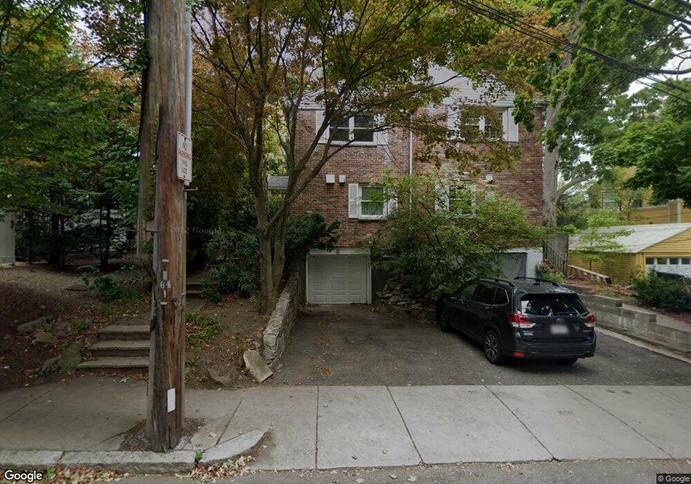
8 Francis St Brookline, MA 02446
Coolidge Corner NeighborhoodEstimated Value: $1,412,000 - $1,925,000
2
Beds
2
Baths
1,530
Sq Ft
$1,126/Sq Ft
Est. Value
About This Home
This home is located at 8 Francis St, Brookline, MA 02446 and is currently estimated at $1,722,857, approximately $1,126 per square foot. 8 Francis St is a home located in Norfolk County with nearby schools including Amos A. Lawrence School, Brookline High School, and St. Mary of the Assumption Elementary School.
Ownership History
Date
Name
Owned For
Owner Type
Purchase Details
Closed on
Mar 2, 2000
Sold by
Quadracci-Flores K
Bought by
Francis St Rt
Current Estimated Value
Purchase Details
Closed on
May 1, 1998
Sold by
White David and White Marlene B
Bought by
Quadrucci Kathryn
Purchase Details
Closed on
Sep 4, 1997
Sold by
Michaels Robert S
Bought by
White David and White Marlene B
Create a Home Valuation Report for This Property
The Home Valuation Report is an in-depth analysis detailing your home's value as well as a comparison with similar homes in the area
Home Values in the Area
Average Home Value in this Area
Purchase History
| Date | Buyer | Sale Price | Title Company |
|---|---|---|---|
| Francis St Rt | $610,000 | -- | |
| Quadrucci Kathryn | $419,900 | -- | |
| White David | $351,000 | -- |
Source: Public Records
Mortgage History
| Date | Status | Borrower | Loan Amount |
|---|---|---|---|
| Previous Owner | White David | $600,000 | |
| Previous Owner | White David | $100,000 |
Source: Public Records
Tax History
| Year | Tax Paid | Tax Assessment Tax Assessment Total Assessment is a certain percentage of the fair market value that is determined by local assessors to be the total taxable value of land and additions on the property. | Land | Improvement |
|---|---|---|---|---|
| 2025 | $16,303 | $1,651,800 | $1,076,500 | $575,300 |
| 2024 | $15,530 | $1,589,600 | $1,035,100 | $554,500 |
| 2023 | $13,945 | $1,398,700 | $854,800 | $543,900 |
| 2022 | $13,573 | $1,332,000 | $814,000 | $518,000 |
| 2021 | $12,552 | $1,280,800 | $782,700 | $498,100 |
| 2020 | $11,367 | $1,202,900 | $711,600 | $491,300 |
| 2019 | $10,734 | $1,145,600 | $677,700 | $467,900 |
| 2018 | $9,195 | $972,000 | $527,400 | $444,600 |
| 2017 | $9,061 | $917,100 | $497,700 | $419,400 |
| 2016 | $8,931 | $857,100 | $465,100 | $392,000 |
| 2015 | $8,132 | $761,400 | $395,100 | $366,300 |
| 2014 | $8,473 | $743,900 | $359,200 | $384,700 |
Source: Public Records
Map
Nearby Homes
- 15 Kent Square
- 15 Francis St Unit 16
- 65 Francis St Unit A
- 61 Toxteth St
- 81 Francis St Unit 2
- 216 Aspinwall Ave
- 216 Aspinwall Ave Unit 3
- 20 Chapel St Unit B811
- 20 Chapel St Unit A703
- 57 Saint Paul St Unit 19
- 131 Sewall Ave Unit 61
- 6 Parkway Rd Unit 6
- 37 Saint Paul St Unit 3
- 106 Brook St
- 60 Longwood Ave Unit 802
- 60 Longwood Ave Unit 307
- 100 Sewall Ave Unit 5
- 45 Longwood Ave Unit 712
- 45 Longwood Ave Unit 812
- 50 Longwood Ave Unit 518
- 10 Francis St
- 10 Francis St Unit 10
- 10 Francis St Unit 2
- 2 Francis St
- 2 Francis St Unit 1
- 2 Francis St Unit 2
- 220 Kent St
- 220 Kent St Unit 1
- 218 Kent St
- 218 Kent St Unit 4
- 218 Kent St Unit 24
- 218 Kent St Unit 21
- 218 Kent St Unit 16
- 218 Kent St
- 218 Kent St Unit 28
- 216 Kent St
- 216 Kent St Unit 15
- 216 Kent St Unit 23
- 216 Kent St Unit 22
- 216 Kent St Unit 28
Your Personal Tour Guide
Ask me questions while you tour the home.