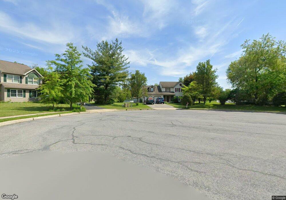
8 Gabriella Dr Mertztown, PA 19539
Longswamp NeighborhoodEstimated Value: $399,000 - $513,000
4
Beds
3
Baths
2,314
Sq Ft
$197/Sq Ft
Est. Value
About This Home
This home is located at 8 Gabriella Dr, Mertztown, PA 19539 and is currently estimated at $454,754, approximately $196 per square foot. 8 Gabriella Dr is a home located in Berks County with nearby schools including Brandywine Heights Elementary School, Brandywine Intermediate School, and Brandywine Heights High School.
Ownership History
Date
Name
Owned For
Owner Type
Purchase Details
Closed on
Sep 18, 2003
Sold by
Lutschaunig Mark T and Breuninger Lutschaunig Karen A
Bought by
Heckenberger James J and Heckenberger Michele K
Current Estimated Value
Home Financials for this Owner
Home Financials are based on the most recent Mortgage that was taken out on this home.
Original Mortgage
$200,000
Interest Rate
5.87%
Mortgage Type
Credit Line Revolving
Create a Home Valuation Report for This Property
The Home Valuation Report is an in-depth analysis detailing your home's value as well as a comparison with similar homes in the area
Home Values in the Area
Average Home Value in this Area
Purchase History
| Date | Buyer | Sale Price | Title Company |
|---|---|---|---|
| Heckenberger James J | $200,000 | -- |
Source: Public Records
Mortgage History
| Date | Status | Borrower | Loan Amount |
|---|---|---|---|
| Closed | Heckenberger James J | $200,000 |
Source: Public Records
Tax History Compared to Growth
Tax History
| Year | Tax Paid | Tax Assessment Tax Assessment Total Assessment is a certain percentage of the fair market value that is determined by local assessors to be the total taxable value of land and additions on the property. | Land | Improvement |
|---|---|---|---|---|
| 2025 | $1,864 | $155,800 | $44,600 | $111,200 |
| 2024 | $7,366 | $155,800 | $44,600 | $111,200 |
| 2023 | $7,216 | $155,800 | $44,600 | $111,200 |
| 2022 | $7,055 | $155,800 | $44,600 | $111,200 |
| 2021 | $7,002 | $155,800 | $44,600 | $111,200 |
| 2020 | $6,949 | $155,800 | $44,600 | $111,200 |
| 2019 | $6,847 | $155,800 | $44,600 | $111,200 |
| 2018 | $6,776 | $155,800 | $44,600 | $111,200 |
| 2017 | $6,656 | $155,800 | $44,600 | $111,200 |
| 2016 | $1,553 | $155,800 | $44,600 | $111,200 |
| 2015 | $1,553 | $155,800 | $44,600 | $111,200 |
| 2014 | $1,553 | $155,800 | $44,600 | $111,200 |
Source: Public Records
Map
Nearby Homes
- 334 Old Topton Rd
- 407 Old Topton Rd
- 608 Old Topton Rd
- 117 E High St
- 238 Penn St
- 3 Woodland Ln
- 11 Woodland Ln
- 106 Hoch Ave
- 0 Chestnut St
- 0 Grim Rd
- 0 S Park Ave
- 15882 E Kutztown Rd Unit A
- 15882 E Kutztown Rd
- 25 Roth Ave
- 19 Roth Ave
- 4 Roth Ave
- 385 Albright Rd
- 792 Swallow Tail Ln
- 97 S Kemp Rd
- 944 Swallow Tail Ln
- 436 Linden Rd
- 10 Gabriella Dr
- 7 Gabriella Dr
- 4 Gabriella Dr
- 3 Gabriella Dr
- 328 Old Topton Rd
- 450 Linden Rd
- 428 Linden Rd
- 445 Linden Rd
- 435 Linden Rd
- 336 Old Topton Rd
- 76 Chestnut Rd
- 420 Linden Rd
- 30 Hemlock Dr
- 68 Chestnut Rd
- 533 Linden Rd
- 60 Chestnut Rd
- 20 Hemlock Dr
- 323 Old Topton Rd
- 65 Chestnut Rd