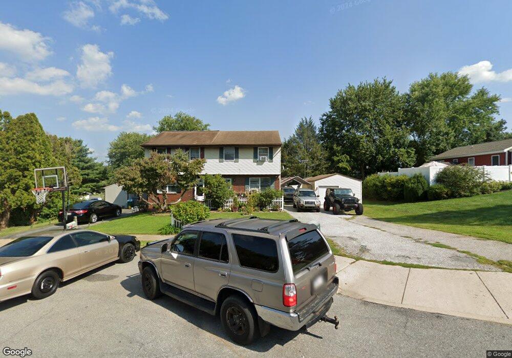
8 Grafton Cir Lancaster, PA 17603
Meadia Heights NeighborhoodEstimated Value: $244,000 - $275,801
3
Beds
1
Bath
1,080
Sq Ft
$238/Sq Ft
Est. Value
About This Home
This home is located at 8 Grafton Cir, Lancaster, PA 17603 and is currently estimated at $256,700, approximately $237 per square foot. 8 Grafton Cir is a home located in Lancaster County with nearby schools including Elizabeth R Martin Elementary School, Wheatland Middle School, and McCaskey High School.
Ownership History
Date
Name
Owned For
Owner Type
Purchase Details
Closed on
Dec 21, 1998
Sold by
Federal National Mortgage Association
Bought by
Irizarry Ferdinand C and Irizarry Ramona C
Current Estimated Value
Home Financials for this Owner
Home Financials are based on the most recent Mortgage that was taken out on this home.
Original Mortgage
$66,450
Outstanding Balance
$15,120
Interest Rate
6.8%
Mortgage Type
FHA
Estimated Equity
$241,580
Create a Home Valuation Report for This Property
The Home Valuation Report is an in-depth analysis detailing your home's value as well as a comparison with similar homes in the area
Home Values in the Area
Average Home Value in this Area
Purchase History
| Date | Buyer | Sale Price | Title Company |
|---|---|---|---|
| Irizarry Ferdinand C | $66,500 | -- |
Source: Public Records
Mortgage History
| Date | Status | Borrower | Loan Amount |
|---|---|---|---|
| Open | Irizarry Ferdinand C | $66,450 |
Source: Public Records
Tax History Compared to Growth
Tax History
| Year | Tax Paid | Tax Assessment Tax Assessment Total Assessment is a certain percentage of the fair market value that is determined by local assessors to be the total taxable value of land and additions on the property. | Land | Improvement |
|---|---|---|---|---|
| 2025 | $3,259 | $113,000 | $30,500 | $82,500 |
| 2024 | $3,259 | $113,000 | $30,500 | $82,500 |
| 2023 | $3,184 | $113,000 | $30,500 | $82,500 |
| 2022 | $2,994 | $113,000 | $30,500 | $82,500 |
| 2021 | $2,903 | $113,000 | $30,500 | $82,500 |
| 2020 | $2,903 | $113,000 | $30,500 | $82,500 |
| 2019 | $2,842 | $113,000 | $30,500 | $82,500 |
| 2018 | $1,973 | $113,000 | $30,500 | $82,500 |
| 2017 | $2,877 | $88,000 | $26,300 | $61,700 |
| 2016 | $2,824 | $88,000 | $26,300 | $61,700 |
| 2015 | $381 | $88,000 | $26,300 | $61,700 |
| 2014 | $1,921 | $88,000 | $26,300 | $61,700 |
Source: Public Records
Map
Nearby Homes
- 11 Clarendon Dr
- 303 Pennshire Dr
- 407 Dickens Dr
- 204 Pennshire Dr
- 202 Pennshire Dr
- 196 Eckman Rd
- 884 Sterling Place
- 1132 Willow Street Pike
- 1823 Divot Ct
- 645 N Pier Dr
- 1826 Putter Ave
- 1014 Willow Street Pike Unit 8
- 206 Meadia Ave
- 716 Euclid Ave
- 825 S Pearl St
- 406 Wendover Way
- 110 Hillard
- 678 Topaz Dr
- 843 Lucilla Ct
- 56 Greenwood Ave