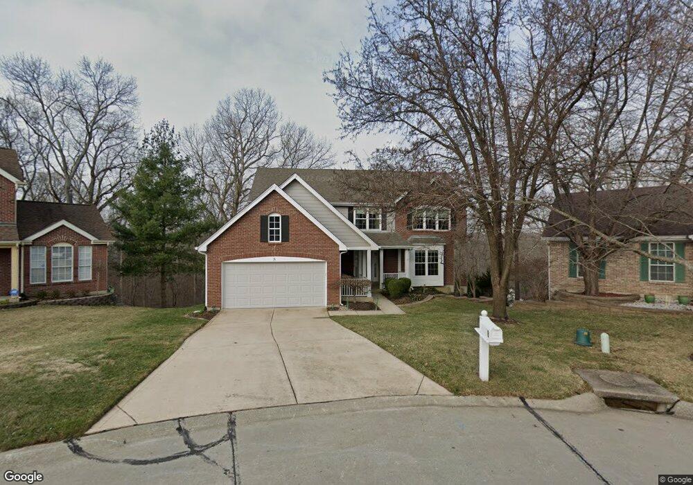
8 Greystoke Ct Ballwin, MO 63021
Estimated Value: $498,000 - $583,000
5
Beds
4
Baths
2,401
Sq Ft
$221/Sq Ft
Est. Value
About This Home
This home is located at 8 Greystoke Ct, Ballwin, MO 63021 and is currently estimated at $530,955, approximately $221 per square foot. 8 Greystoke Ct is a home located in St. Louis County with nearby schools including Woerther Elementary School, Selvidge Middle School, and Marquette Sr. High School.
Ownership History
Date
Name
Owned For
Owner Type
Purchase Details
Closed on
Oct 31, 2005
Sold by
Joyner Sidney G and Joyner Delilah L
Bought by
Jones William C and Jones Carol M
Current Estimated Value
Home Financials for this Owner
Home Financials are based on the most recent Mortgage that was taken out on this home.
Original Mortgage
$184,000
Interest Rate
5.33%
Mortgage Type
Fannie Mae Freddie Mac
Purchase Details
Closed on
Jul 1, 1997
Sold by
Turner Ronald I and Turner Patricia M
Bought by
Joyner Sidney G
Home Financials for this Owner
Home Financials are based on the most recent Mortgage that was taken out on this home.
Original Mortgage
$162,000
Interest Rate
7%
Create a Home Valuation Report for This Property
The Home Valuation Report is an in-depth analysis detailing your home's value as well as a comparison with similar homes in the area
Home Values in the Area
Average Home Value in this Area
Purchase History
| Date | Buyer | Sale Price | Title Company |
|---|---|---|---|
| Jones William C | $284,000 | -- | |
| Joyner Sidney G | -- | -- |
Source: Public Records
Mortgage History
| Date | Status | Borrower | Loan Amount |
|---|---|---|---|
| Closed | Jones William C | $184,000 | |
| Previous Owner | Joyner Sidney G | $162,000 |
Source: Public Records
Tax History
| Year | Tax Paid | Tax Assessment Tax Assessment Total Assessment is a certain percentage of the fair market value that is determined by local assessors to be the total taxable value of land and additions on the property. | Land | Improvement |
|---|---|---|---|---|
| 2025 | $5,904 | $96,790 | $30,760 | $66,030 |
| 2024 | $5,904 | $84,510 | $17,080 | $67,430 |
| 2023 | $5,900 | $84,510 | $17,080 | $67,430 |
| 2022 | $5,365 | $71,340 | $19,320 | $52,020 |
| 2021 | $5,325 | $71,340 | $19,320 | $52,020 |
| 2020 | $4,809 | $61,390 | $19,320 | $42,070 |
| 2019 | $4,828 | $61,390 | $19,320 | $42,070 |
| 2018 | $4,856 | $58,220 | $14,480 | $43,740 |
| 2017 | $4,740 | $58,220 | $14,480 | $43,740 |
| 2016 | $4,694 | $55,440 | $14,480 | $40,960 |
Source: Public Records
Map
Nearby Homes
- 519 Steepleton Ct
- 326 Woodlawn Terrace Ct
- 589 Wetherby Terrace Dr
- 1319 Oak Borough Dr
- 883 Arbor Chase Dr
- 1410 Saint Paul Rd
- 857 Village Meadow Dr
- 279 Aspen Village Dr
- 847 Arbor Chase Dr
- 717 Woodrun Dr
- 713 Village Wood Ct
- 760 Woodside Trails Dr Unit 203
- 290 Carmel Woods Dr
- 604 Pine Ridge Trails Ct Unit 202
- 318 Statewood Dr
- 1110 Kiefer Creek Rd
- 618 Running Creek Dr
- 2 Burlington at Regal Pines Meadows
- 2 Meadows
- 2 Belmont at Regal Pines Meadows
- 2 Greystoke Ct
- 20 Greystoke Ct
- 3 Greystoke Ct
- 1235 Richland Meadows Dr
- 1239 Richland Meadows Dr
- 9 Greystoke Ct
- 15 Greystoke Ct
- 21 Greystoke Ct
- 1243 Richland Meadows Dr
- 408 Steepleton Ct
- 410 Steepleton Ct
- 402 Steepleton Ct
- 1215 Richland Meadows Dr
- 1247 Richland Meadows Dr
- 1230 Richland Meadows Dr
- 1236 Richland Meadows Dr
- 1352 Richland Meadows Dr
- 1353 Richland Meadows Dr
- 1224 Richland Meadows Dr
- 1203 Richland Meadows Dr
Your Personal Tour Guide
Ask me questions while you tour the home.