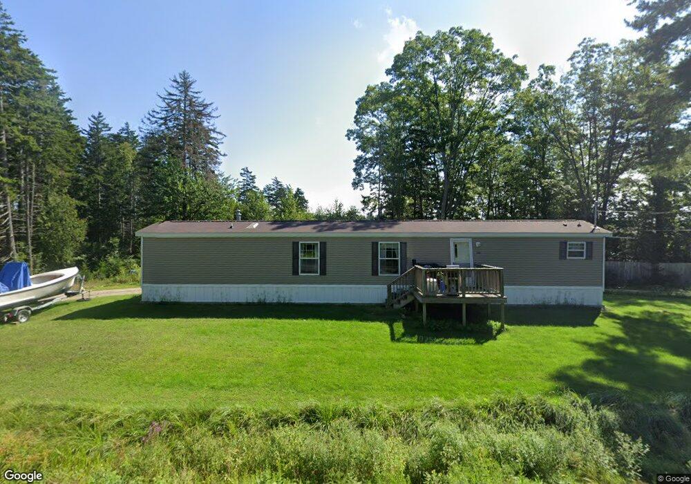
8 Hackmatack Rd Harpswell, ME 04079
Harpswell NeighborhoodEstimated Value: $666,848 - $1,089,000
2
Beds
1
Bath
806
Sq Ft
$1,026/Sq Ft
Est. Value
About This Home
This home is located at 8 Hackmatack Rd, Harpswell, ME 04079 and is currently estimated at $827,212, approximately $1,026 per square foot. 8 Hackmatack Rd is a home located in Cumberland County with nearby schools including Mt Ararat High School.
Ownership History
Date
Name
Owned For
Owner Type
Purchase Details
Closed on
Jul 18, 2016
Sold by
Lucas Caroline T Est and Thalheimer William G
Bought by
Thalheimer William H and Brett Elizabeth T
Current Estimated Value
Purchase Details
Closed on
Dec 5, 2007
Sold by
Harvey Susan G
Bought by
Howard Vikki C
Home Financials for this Owner
Home Financials are based on the most recent Mortgage that was taken out on this home.
Original Mortgage
$292,000
Interest Rate
6.37%
Mortgage Type
Purchase Money Mortgage
Create a Home Valuation Report for This Property
The Home Valuation Report is an in-depth analysis detailing your home's value as well as a comparison with similar homes in the area
Home Values in the Area
Average Home Value in this Area
Purchase History
| Date | Buyer | Sale Price | Title Company |
|---|---|---|---|
| Thalheimer William H | -- | -- | |
| Howard Vikki C | -- | -- |
Source: Public Records
Mortgage History
| Date | Status | Borrower | Loan Amount |
|---|---|---|---|
| Open | Howard Vikki C | $291,000 | |
| Closed | Howard Vikki C | $292,000 |
Source: Public Records
Tax History Compared to Growth
Tax History
| Year | Tax Paid | Tax Assessment Tax Assessment Total Assessment is a certain percentage of the fair market value that is determined by local assessors to be the total taxable value of land and additions on the property. | Land | Improvement |
|---|---|---|---|---|
| 2024 | $2,632 | $413,900 | $285,800 | $128,100 |
| 2023 | $2,525 | $413,900 | $285,800 | $128,100 |
| 2022 | $2,442 | $413,900 | $285,800 | $128,100 |
| 2021 | $2,646 | $391,400 | $268,600 | $122,800 |
| 2020 | $2,638 | $391,400 | $268,600 | $122,800 |
| 2019 | $2,622 | $391,400 | $268,600 | $122,800 |
| 2018 | $2,536 | $391,400 | $268,600 | $122,800 |
| 2017 | $2,988 | $391,400 | $268,600 | $122,800 |
| 2016 | $3,073 | $391,400 | $268,600 | $122,800 |
| 2015 | $2,376 | $380,700 | $268,600 | $112,100 |
| 2013 | $2,125 | $367,600 | $260,100 | $107,500 |
Source: Public Records
Map
Nearby Homes
- 11 Orion Point Way
- lot C Long Point Rd
- 136 Bethel Point Rd
- 37 & 38 S Dyers Cove Rd
- 943 Cundys Harbor Rd
- 205 W Cundys Point
- 0 Bayview Rd Unit 2 1632776
- 20 Long Point Island
- 242 Long Reach Ln
- Lot 2A Allen Point Rd
- Lot 2B Allen Point Rd
- 270 Harpswell Neck Rd
- Lot 129 Harpswell Neck Rd
- 41 Spruce Brook Dr
- 1689 Harpswell Islands Rd
- 1 Mallard Pond Rd
- 87 Lowells Cove Rd
- 65 Shell Rd
- 93 Abbot Cove Rd
- Map 80 Lot 18-0 White Island
- 7 Hackmatack Rd
- 0 Hackmatack Rd Unit 1462210
- 245 Pinkham Point Rd
- 5 Lobster Ln
- 2 Lobster Ln
- 240 Pinkham Point Rd
- 236 Pinkham Point Rd
- 20 Hackmatack Rd
- 225 Pinkham Point Rd
- 248 Pinkham Point Rd
- 252 Pinkham Point Rd
- 50 Elton Farm Rd
- 32 Hackmatack Rd
- 44 Elton Farm Rd
- 219 Pinkham Point Rd
- 220 Pinkham Point Rd
- 47 Elton Farm Rd
- 20 Wilburs Way
- 42 Elton Farm Rd
- 254 Pinkham Point Rd