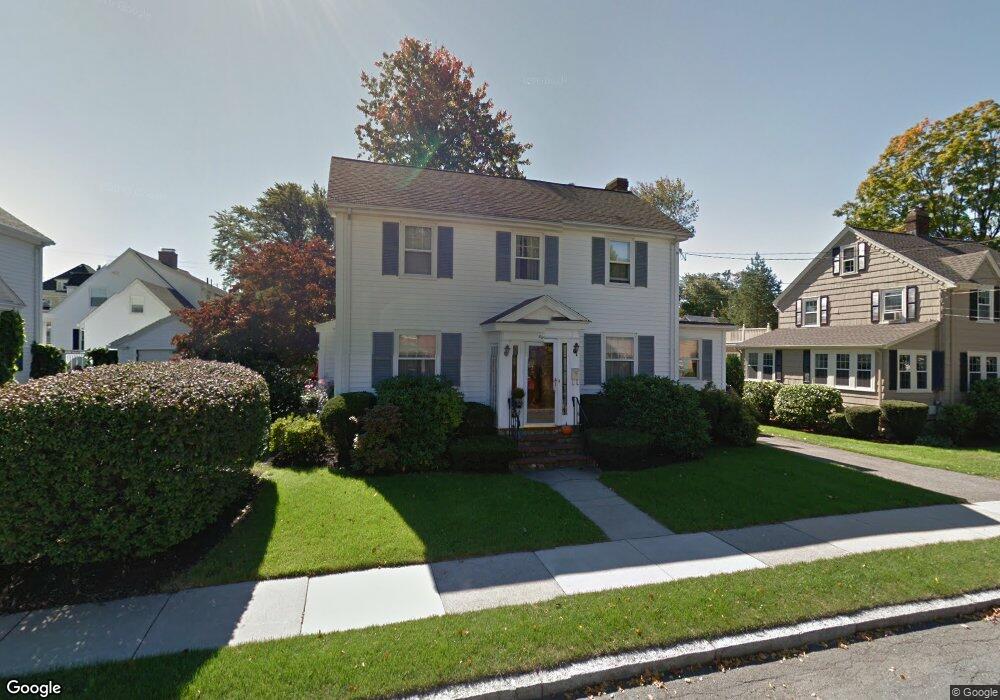
8 Harding Ct Melrose, MA 02176
Melrose East Side NeighborhoodEstimated Value: $787,000 - $1,008,000
3
Beds
2
Baths
1,562
Sq Ft
$591/Sq Ft
Est. Value
About This Home
This home is located at 8 Harding Ct, Melrose, MA 02176 and is currently estimated at $923,420, approximately $591 per square foot. 8 Harding Ct is a home located in Middlesex County with nearby schools including Winthrop Elementary School, Horace Mann Elementary School, and Roosevelt Elementary School.
Ownership History
Date
Name
Owned For
Owner Type
Purchase Details
Closed on
Nov 18, 1998
Sold by
Mcateer James M
Bought by
Depari Ronald J and Depari Sandra J
Current Estimated Value
Home Financials for this Owner
Home Financials are based on the most recent Mortgage that was taken out on this home.
Original Mortgage
$185,250
Outstanding Balance
$36,238
Interest Rate
6.49%
Mortgage Type
Purchase Money Mortgage
Estimated Equity
$887,182
Create a Home Valuation Report for This Property
The Home Valuation Report is an in-depth analysis detailing your home's value as well as a comparison with similar homes in the area
Home Values in the Area
Average Home Value in this Area
Purchase History
| Date | Buyer | Sale Price | Title Company |
|---|---|---|---|
| Depari Ronald J | $247,000 | -- |
Source: Public Records
Mortgage History
| Date | Status | Borrower | Loan Amount |
|---|---|---|---|
| Open | Depari Ronald J | $50,000 | |
| Open | Depari Ronald J | $94,000 | |
| Open | Depari Ronald J | $185,250 | |
| Previous Owner | Depari Ronald J | $100,000 |
Source: Public Records
Tax History
| Year | Tax Paid | Tax Assessment Tax Assessment Total Assessment is a certain percentage of the fair market value that is determined by local assessors to be the total taxable value of land and additions on the property. | Land | Improvement |
|---|---|---|---|---|
| 2025 | $82 | $823,300 | $497,000 | $326,300 |
| 2024 | $8,175 | $823,300 | $497,000 | $326,300 |
| 2023 | $7,719 | $740,800 | $443,300 | $297,500 |
| 2022 | $7,428 | $702,700 | $416,400 | $286,300 |
| 2021 | $7,091 | $647,600 | $376,100 | $271,500 |
| 2020 | $7,157 | $647,700 | $376,100 | $271,600 |
| 2019 | $6,368 | $589,100 | $339,800 | $249,300 |
| 2018 | $6,324 | $558,200 | $308,900 | $249,300 |
| 2017 | $6,209 | $526,200 | $295,500 | $230,700 |
| 2016 | $6,124 | $496,700 | $282,100 | $214,600 |
| 2015 | $5,879 | $453,600 | $268,700 | $184,900 |
| 2014 | $5,845 | $440,100 | $255,200 | $184,900 |
Source: Public Records
Map
Nearby Homes
- 109 Linden Rd
- 128 Green St Unit 128
- 8 Crystal St Unit 2
- 8 Crystal St Unit 3
- 10 Hesseltine Ave
- 53 Melrose St Unit 4D
- 51 Melrose St Unit 4D
- 51 Melrose St Unit 1C
- 58 Franklin St Unit 58
- 236-238 Main St
- 9 Elmcrest Cir
- 225 Howard St
- 445 E Foster St
- 89 Lovell Rd
- 220 Essex St Unit 1
- 24 Ellsworth Ave
- 0 Beech Ave
- 3 Hunnewell St
- 30 Wheeler Ave
- 515 Upham St
- 14 Harding Ct
- 10 Harding Rd
- 134 Porter St
- 4 Harding Rd
- 9 Harding Ct
- 20 Harding Rd
- 15 Harding Ct
- 112 Porter St Unit 8
- 112 Porter St Unit 7
- 112 Porter St Unit 6
- 112 Porter St Unit 5
- 112 Porter St Unit 4
- 112 Porter St Unit 3
- 112 Porter St Unit 2
- 112 Porter St Unit 1
- 112 Porter St Unit five
- 112 Porter St Unit eight
- 112 Porter St Unit seven
- 112 Porter St Unit three
- 112 Porter St Unit one