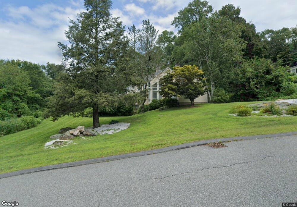
8 Highridge Rd Unit 1 Wilbraham, MA 01095
Estimated Value: $699,307 - $803,000
4
Beds
4
Baths
3,392
Sq Ft
$224/Sq Ft
Est. Value
About This Home
This home is located at 8 Highridge Rd Unit 1, Wilbraham, MA 01095 and is currently estimated at $758,436, approximately $223 per square foot. 8 Highridge Rd Unit 1 is a home located in Hampden County with nearby schools including Minnechaug Regional High School and Wilbraham & Monson Academy.
Ownership History
Date
Name
Owned For
Owner Type
Purchase Details
Closed on
Oct 29, 2007
Sold by
Fitzgerald Joyce S and Fitzgerald Frank P
Bought by
Gill James L and Gill Betty S
Current Estimated Value
Home Financials for this Owner
Home Financials are based on the most recent Mortgage that was taken out on this home.
Original Mortgage
$477,000
Outstanding Balance
$301,958
Interest Rate
6.39%
Mortgage Type
Purchase Money Mortgage
Estimated Equity
$456,478
Create a Home Valuation Report for This Property
The Home Valuation Report is an in-depth analysis detailing your home's value as well as a comparison with similar homes in the area
Home Values in the Area
Average Home Value in this Area
Purchase History
| Date | Buyer | Sale Price | Title Company |
|---|---|---|---|
| Gill James L | $530,000 | -- |
Source: Public Records
Mortgage History
| Date | Status | Borrower | Loan Amount |
|---|---|---|---|
| Open | Gill James L | $477,000 |
Source: Public Records
Tax History Compared to Growth
Tax History
| Year | Tax Paid | Tax Assessment Tax Assessment Total Assessment is a certain percentage of the fair market value that is determined by local assessors to be the total taxable value of land and additions on the property. | Land | Improvement |
|---|---|---|---|---|
| 2025 | $10,708 | $598,900 | $168,600 | $430,300 |
| 2024 | $9,873 | $533,700 | $134,800 | $398,900 |
| 2023 | $10,327 | $548,500 | $134,800 | $413,700 |
| 2022 | $10,327 | $504,000 | $134,800 | $369,200 |
| 2021 | $10,775 | $469,300 | $142,700 | $326,600 |
| 2020 | $10,503 | $469,300 | $142,700 | $326,600 |
| 2019 | $10,233 | $469,400 | $142,700 | $326,700 |
| 2018 | $11,148 | $492,400 | $142,700 | $349,700 |
| 2017 | $10,833 | $492,400 | $142,700 | $349,700 |
| 2016 | $9,912 | $458,900 | $147,500 | $311,400 |
| 2015 | $9,582 | $458,900 | $147,500 | $311,400 |
Source: Public Records
Map
Nearby Homes
- 6 Hilltop Park
- 474 Mountain Rd
- 68 Monson Rd
- 20 Old Orchard Rd
- 474-480 Mountain Rd
- 17 Peak Rd
- 603 Glendale Rd
- 2 Bayberry Dr Unit 51
- 8 Patriot Ridge Ln
- 733 Monson Rd
- 28 Decorie Dr
- 79 High Pine Cir
- 69 High Pine Cir
- 104 High Pine Cir
- 2 Vista Rd
- 54 High Pine Cir
- 57 Beebe Rd
- 182 Mountain Rd
- 72 Beebe Rd
- 1028 Tinkham Rd