8 Joe Webster Rd Limington, ME 04049
Limington NeighborhoodEstimated Value: $427,020 - $434,000
--
Bed
--
Bath
--
Sq Ft
1.86
Acres
About This Home
This home is located at 8 Joe Webster Rd, Limington, ME 04049 and is currently estimated at $430,673. 8 Joe Webster Rd is a home with nearby schools including Bonny Eagle High School.
Ownership History
Date
Name
Owned For
Owner Type
Purchase Details
Closed on
May 13, 2013
Sold by
York Patricia and York Horace N
Bought by
York 3Rd Horace N
Current Estimated Value
Purchase Details
Closed on
Dec 18, 2012
Sold by
York Horace N
Bought by
York 3Rd Horace N
Home Financials for this Owner
Home Financials are based on the most recent Mortgage that was taken out on this home.
Original Mortgage
$180,612
Interest Rate
3.44%
Mortgage Type
New Conventional
Create a Home Valuation Report for This Property
The Home Valuation Report is an in-depth analysis detailing your home's value as well as a comparison with similar homes in the area
Home Values in the Area
Average Home Value in this Area
Purchase History
| Date | Buyer | Sale Price | Title Company |
|---|---|---|---|
| York 3Rd Horace N | -- | -- | |
| York Patricia D | -- | -- | |
| York 3Rd Horace N | -- | -- |
Source: Public Records
Mortgage History
| Date | Status | Borrower | Loan Amount |
|---|---|---|---|
| Previous Owner | York 3Rd Horace N | $180,612 |
Source: Public Records
Tax History Compared to Growth
Tax History
| Year | Tax Paid | Tax Assessment Tax Assessment Total Assessment is a certain percentage of the fair market value that is determined by local assessors to be the total taxable value of land and additions on the property. | Land | Improvement |
|---|---|---|---|---|
| 2024 | $4,412 | $392,906 | $117,660 | $275,246 |
| 2023 | $4,019 | $392,906 | $117,660 | $275,246 |
| 2022 | $3,187 | $216,063 | $78,440 | $137,623 |
| 2021 | $2,852 | $216,063 | $78,440 | $137,623 |
| 2020 | $2,658 | $216,063 | $78,440 | $137,623 |
| 2019 | $2,658 | $216,063 | $78,440 | $137,623 |
| 2017 | $2,550 | $216,063 | $78,440 | $137,623 |
| 2016 | $2,431 | $216,063 | $78,440 | $137,623 |
| 2015 | $2,355 | $216,063 | $78,440 | $137,623 |
| 2014 | $2,355 | $216,063 | $78,440 | $137,623 |
| 2013 | $2,269 | $216,063 | $78,440 | $137,623 |
Source: Public Records
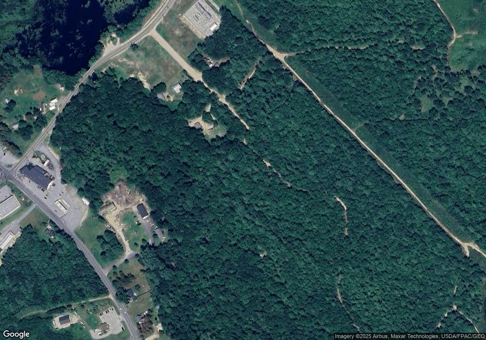
Map
Nearby Homes
- 3 Cherrywood Dr
- 8 Maplewood Dr
- 16 Cedarwood Dr
- 17 Spruce Ln
- 34 Whispering Pine Dr
- 13 Airport Dr Unit O
- 13 Airport Dr Unit Q
- 10 Chase Mill Rd
- 1044 Ossipee Trail W
- 24 Baldwin Rd
- 683 Sokokis Ave
- 7 Susan Dr
- 60 Christian Hill Rd
- 1024 Cape Rd
- 72 Far Woods Cir
- 19 Eaton Rd
- 106 July St
- 99 July St
- 465 Manchester Rd
- Lot B & C Cape Rd
- 0 Joe Webster Rd
- 173 Ossipee Trail
- 165 Ossipee Trail
- 163 Ossipee Trail
- 504 Sokokis Ave
- 178 Ossipee Trail
- 157 Ossipee Trail
- 183 Ossipee Trail
- 160 Ossipee Trail
- 500 Sokokis Ave
- 166 Ossipee Trail
- 187 Ossipee Trail
- 531 Sokokis Ave
- 151 Ossipee Trail
- 149 Ossipee Trail
- 184 Ossipee Trail
- 184 Ossipee Trail
- 149&151 Ossipee Trail
- 154 Ossipee Trail
- 192 Ossipee Trail