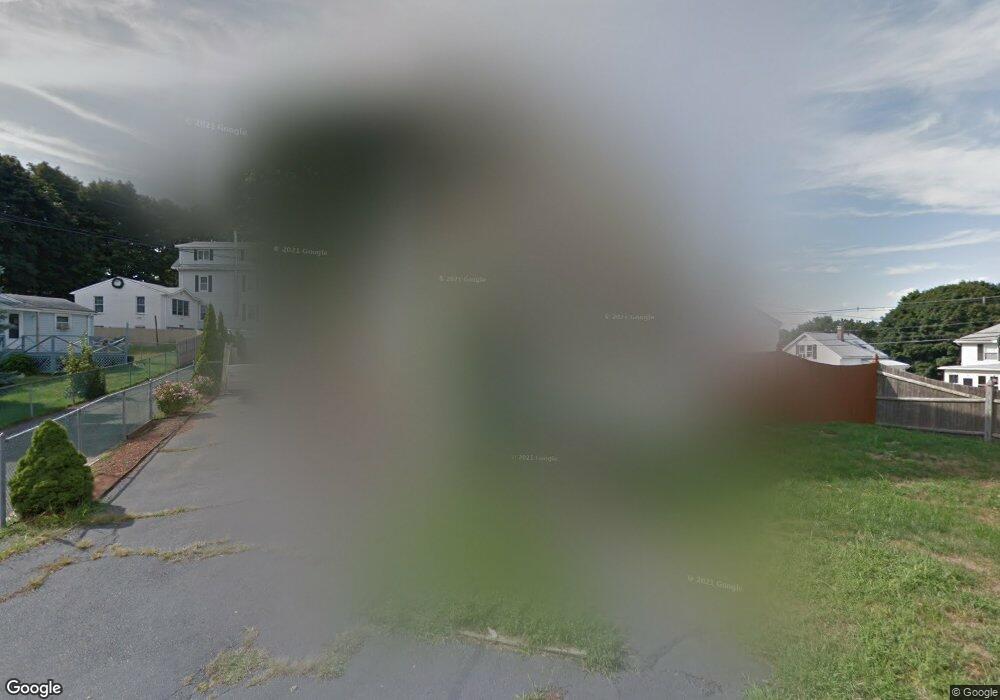
8 Johnson Rd Saugus, MA 01906
Downtown Saugus NeighborhoodEstimated Value: $484,000 - $585,000
2
Beds
2
Baths
1,100
Sq Ft
$484/Sq Ft
Est. Value
About This Home
This home is located at 8 Johnson Rd, Saugus, MA 01906 and is currently estimated at $531,889, approximately $483 per square foot. 8 Johnson Rd is a home located in Essex County with nearby schools including Saugus High School, Pioneer Charter School Of Science II, and Sacred Heart School.
Ownership History
Date
Name
Owned For
Owner Type
Purchase Details
Closed on
Jul 17, 1998
Sold by
Melanson Michael R and Menlanson Stacey J
Bought by
Cravines Ted P and Cravines Sandra J
Current Estimated Value
Purchase Details
Closed on
Dec 29, 1995
Sold by
Mosca Alice
Bought by
Melanson Michael and Melanson Stacey
Create a Home Valuation Report for This Property
The Home Valuation Report is an in-depth analysis detailing your home's value as well as a comparison with similar homes in the area
Home Values in the Area
Average Home Value in this Area
Purchase History
| Date | Buyer | Sale Price | Title Company |
|---|---|---|---|
| Cravines Ted P | $150,000 | -- | |
| Melanson Michael | $124,000 | -- |
Source: Public Records
Mortgage History
| Date | Status | Borrower | Loan Amount |
|---|---|---|---|
| Open | Melanson Michael | $25,000 | |
| Open | Melanson Michael | $158,000 |
Source: Public Records
Tax History
| Year | Tax Paid | Tax Assessment Tax Assessment Total Assessment is a certain percentage of the fair market value that is determined by local assessors to be the total taxable value of land and additions on the property. | Land | Improvement |
|---|---|---|---|---|
| 2025 | $5,118 | $479,200 | $299,200 | $180,000 |
| 2024 | $4,883 | $458,500 | $282,100 | $176,400 |
| 2023 | $4,582 | $406,900 | $247,900 | $159,000 |
| 2022 | $4,546 | $378,500 | $227,400 | $151,100 |
| 2021 | $4,228 | $342,600 | $197,500 | $145,100 |
| 2020 | $3,904 | $327,500 | $188,100 | $139,400 |
| 2019 | $3,531 | $289,900 | $171,000 | $118,900 |
| 2018 | $3,218 | $277,900 | $165,800 | $112,100 |
| 2017 | $3,164 | $262,600 | $154,700 | $107,900 |
| 2016 | $2,855 | $234,000 | $154,400 | $79,600 |
| 2015 | $2,680 | $223,000 | $147,100 | $75,900 |
| 2014 | $2,667 | $229,700 | $147,100 | $82,600 |
Source: Public Records
Map
Nearby Homes
- 66 Springdale Ave
- 187 Hamilton St
- 0 Hampton St
- 9 Spencer Ave
- 44 Ballard St
- 4 Oneil Way
- 25 Auburn St
- 21 Fenton Ave
- 36 Jasper St
- 31 Mountain Ave
- 4 Foss Ave
- 7 Adams Ave
- 25 Piedmont Ave
- 6 Saugus Ave Unit A
- 28 Naples Ave
- 52 Hesper St
- 10 River Street Place
- 11 Margin St Unit 7
- 141 Essex St Unit D6
- 62 Main St
Your Personal Tour Guide
Ask me questions while you tour the home.