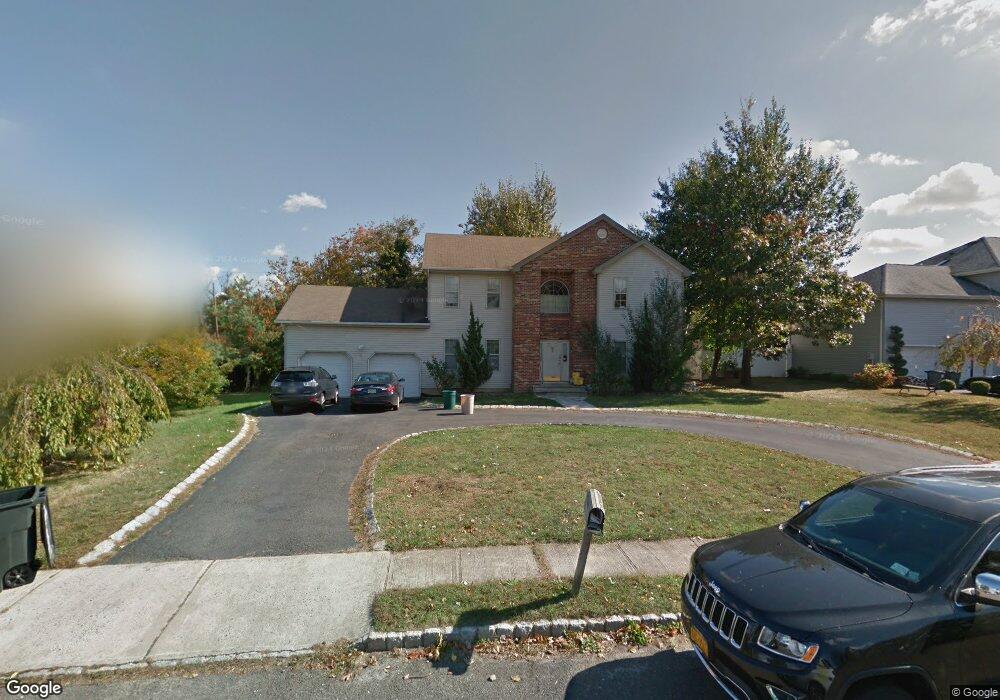
8 Justin Way Long Branch, NJ 07740
Estimated Value: $1,104,000 - $1,772,000
4
Beds
2
Baths
2,328
Sq Ft
$633/Sq Ft
Est. Value
About This Home
This home is located at 8 Justin Way, Long Branch, NJ 07740 and is currently estimated at $1,473,921, approximately $633 per square foot. 8 Justin Way is a home located in Monmouth County with nearby schools including Long Branch High School, Holy Trinity School, and Bet Yaakov of the Jersey Shore.
Ownership History
Date
Name
Owned For
Owner Type
Purchase Details
Closed on
May 9, 2006
Sold by
Quist Barr L
Bought by
Justin Time Associates Llc
Current Estimated Value
Purchase Details
Closed on
Jul 28, 1999
Sold by
Solondx Dev Corp
Bought by
Barr Quist and Quist Sheila
Create a Home Valuation Report for This Property
The Home Valuation Report is an in-depth analysis detailing your home's value as well as a comparison with similar homes in the area
Home Values in the Area
Average Home Value in this Area
Purchase History
| Date | Buyer | Sale Price | Title Company |
|---|---|---|---|
| Justin Time Associates Llc | $900,000 | -- | |
| Barr Quist | $256,000 | -- |
Source: Public Records
Tax History Compared to Growth
Tax History
| Year | Tax Paid | Tax Assessment Tax Assessment Total Assessment is a certain percentage of the fair market value that is determined by local assessors to be the total taxable value of land and additions on the property. | Land | Improvement |
|---|---|---|---|---|
| 2025 | $15,857 | $1,239,100 | $661,200 | $577,900 |
| 2024 | $15,171 | $1,031,700 | $478,900 | $552,800 |
| 2023 | $15,171 | $976,900 | $449,200 | $527,700 |
| 2022 | $13,795 | $770,600 | $305,700 | $464,900 |
| 2021 | $13,795 | $689,400 | $254,700 | $434,700 |
| 2020 | $13,556 | $648,600 | $216,400 | $432,200 |
| 2019 | $12,236 | $582,100 | $165,400 | $416,700 |
| 2018 | $11,898 | $562,800 | $156,900 | $405,900 |
| 2017 | $11,410 | $553,600 | $151,000 | $402,600 |
| 2016 | $11,356 | $561,900 | $161,200 | $400,700 |
| 2015 | $11,453 | $514,300 | $120,300 | $394,000 |
| 2014 | $11,353 | $537,300 | $167,100 | $370,200 |
Source: Public Records
Map
Nearby Homes
- 65 Cedar Ave Unit C11
- 3 Reid St
- 631 Hoey Ave
- 211 Cedar Ave
- 266 Lenox Ave
- 45 Cedar Ave
- 35 Sternberger Ave Unit P
- 735 Greens Ave Unit 18A
- 665 2nd Ave Unit 202
- 665 2nd Ave Unit 310
- 665 2nd Ave Unit 303
- 665 2nd Ave Unit 201
- 717 Ocean Ave Unit 705
- 675 Ocean Ave Unit 9F
- 675 Ocean Ave Unit 5J
- 675 Ocean Ave Unit 4I
- 512 Sairs Ave
- 294 Brighton Ave
- 107 W End Ave
- 21 Riviera Dr
- 10 Justin Way
- 6 Justin Way
- 2 Justin Way
- 4 Justin Way
- 6 Maxine Dr
- 143 Cedar Ave
- 4 Maxine Dr
- 210 Lenox Ave
- 2 Maxine Dr
- 97 Cedar Ave
- 5 Maxine Dr
- 200 Lenox Ave
- 3 Maxine Dr
- 1 Maxine Dr
- 65 Cedar Ave Unit B10
- 65 Cedar Ave Unit C12
- 65 Cedar Ave Unit D11
- 65 Cedar Ave Unit B1
- 65 Cedar Ave Unit B2
- 65 Cedar Ave Unit B7