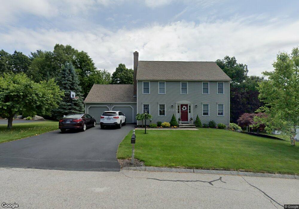
8 Keith David Dr Millbury, MA 01527
Estimated Value: $616,689 - $806,000
4
Beds
3
Baths
2,016
Sq Ft
$351/Sq Ft
Est. Value
About This Home
This home is located at 8 Keith David Dr, Millbury, MA 01527 and is currently estimated at $706,672, approximately $350 per square foot. 8 Keith David Dr is a home located in Worcester County with nearby schools including Elmwood Street Elementary School, Raymond E. Shaw Elementary School, and Millbury Junior/Senior High School.
Ownership History
Date
Name
Owned For
Owner Type
Purchase Details
Closed on
Oct 29, 1997
Sold by
Longwood Dev Corp
Bought by
Wright Stephen M and Wright Debra A
Current Estimated Value
Home Financials for this Owner
Home Financials are based on the most recent Mortgage that was taken out on this home.
Original Mortgage
$155,450
Interest Rate
7.31%
Mortgage Type
Purchase Money Mortgage
Create a Home Valuation Report for This Property
The Home Valuation Report is an in-depth analysis detailing your home's value as well as a comparison with similar homes in the area
Home Values in the Area
Average Home Value in this Area
Purchase History
| Date | Buyer | Sale Price | Title Company |
|---|---|---|---|
| Wright Stephen M | $194,322 | -- | |
| Wright Stephen M | $194,322 | -- |
Source: Public Records
Mortgage History
| Date | Status | Borrower | Loan Amount |
|---|---|---|---|
| Open | Wright Stephen M | $125,000 | |
| Closed | Wright Stephen M | $128,500 | |
| Closed | Wright Stephen M | $180,000 | |
| Closed | Wright Stephen M | $155,450 |
Source: Public Records
Tax History
| Year | Tax Paid | Tax Assessment Tax Assessment Total Assessment is a certain percentage of the fair market value that is determined by local assessors to be the total taxable value of land and additions on the property. | Land | Improvement |
|---|---|---|---|---|
| 2025 | $7,702 | $575,200 | $117,400 | $457,800 |
| 2024 | $7,071 | $534,500 | $108,800 | $425,700 |
| 2023 | $6,494 | $449,400 | $76,300 | $373,100 |
| 2022 | $5,790 | $386,000 | $76,300 | $309,700 |
| 2021 | $5,709 | $370,000 | $76,300 | $293,700 |
| 2020 | $5,591 | $364,700 | $76,300 | $288,400 |
| 2019 | $5,563 | $351,000 | $75,900 | $275,100 |
| 2018 | $5,516 | $337,600 | $75,900 | $261,700 |
| 2017 | $4,626 | $313,600 | $75,900 | $237,700 |
| 2016 | $5,241 | $318,400 | $75,900 | $242,500 |
| 2015 | $5,078 | $308,500 | $77,200 | $231,300 |
| 2014 | $4,757 | $278,200 | $80,700 | $197,500 |
Source: Public Records
Map
Nearby Homes
- 2 Wilson Rd Unit B
- 2 Wilson Rd Unit A
- 15 Jackson Ln
- 300 Millbury Ave
- 48 Macarthur Dr
- 8 Lincoln Ave
- 18 Lincoln Ave
- 39 Johnson St
- 2 Diane St
- 17 Lincoln Ave
- 0 Worcester Providence Turnpike
- 8 Nightview Place
- 12 Irene Ct
- 7 Canal St
- 37-39 Main St
- 405 Granite St
- 7 Barbara St
- 13 Braney Rd
- 182 Weatherstone Dr
- 38 W Main St
- 6 Keith David Dr
- 10 Keith David Dr
- 14 Jaclyn Rae Dr
- 2 Matthew Cir
- 12 Keith David Dr
- 3 Matthew Cir
- 7 Pinehurst Cir
- 13 Keith David Dr
- 4 Matthew Cir
- 14 Keith David Dr
- 3 Keith David Dr
- 12 Jaclyn Rae Dr
- 15 Jaclyn Rae Dr
- 5 Matthew Cir
- 9 Brian Cir
- 7 Brian Cir
- 8 Pinehurst Cir
- 14 Hayward Glen Dr
- 16 Hayward Glen Dr
- 5 Brian Cir
Your Personal Tour Guide
Ask me questions while you tour the home.