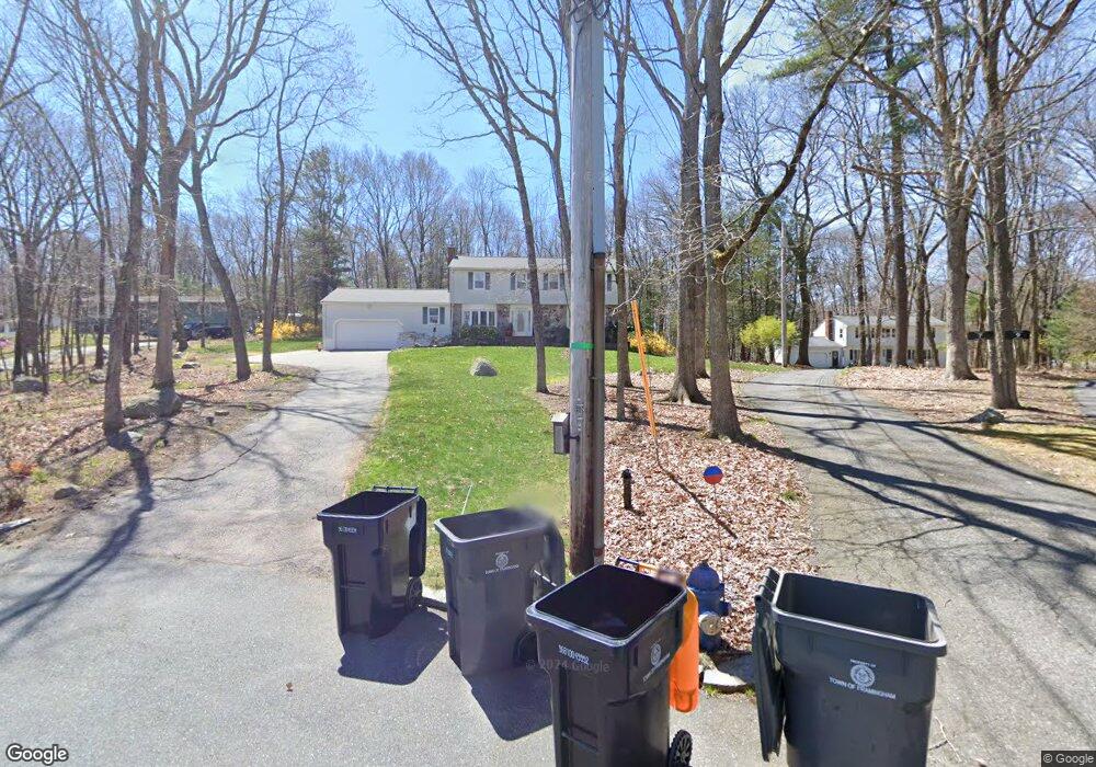
8 Kevin Cir Framingham, MA 01701
Nobscot NeighborhoodEstimated Value: $942,000 - $1,007,000
5
Beds
3
Baths
2,784
Sq Ft
$350/Sq Ft
Est. Value
About This Home
This home is located at 8 Kevin Cir, Framingham, MA 01701 and is currently estimated at $975,060, approximately $350 per square foot. 8 Kevin Cir is a home located in Middlesex County with nearby schools including Framingham High School, Sudbury Valley School, and MetroWest Jewish Day School.
Ownership History
Date
Name
Owned For
Owner Type
Purchase Details
Closed on
Jun 24, 2011
Sold by
Mcguire Dawn
Bought by
Foley Mark and Foley Sonia A
Current Estimated Value
Home Financials for this Owner
Home Financials are based on the most recent Mortgage that was taken out on this home.
Original Mortgage
$341,000
Outstanding Balance
$229,079
Interest Rate
4.63%
Mortgage Type
Purchase Money Mortgage
Estimated Equity
$745,981
Purchase Details
Closed on
Jun 28, 2004
Sold by
Buynovsky Holly
Bought by
Mcguire Dawn
Purchase Details
Closed on
May 16, 1989
Sold by
Peterson John
Bought by
Salmon Michael
Create a Home Valuation Report for This Property
The Home Valuation Report is an in-depth analysis detailing your home's value as well as a comparison with similar homes in the area
Home Values in the Area
Average Home Value in this Area
Purchase History
We collect this data history from publicly available records. To have your information removed, we recommend requesting removal directly through your county’s website.
| Date | Buyer | Sale Price | Title Company |
|---|---|---|---|
| Foley Mark | $456,000 | -- | |
| Foley Mark | $456,000 | -- | |
| Mcguire Dawn | $575,000 | -- | |
| Mcguire Dawn | $575,000 | -- | |
| Salmon Michael | $339,900 | -- |
Source: Public Records
Mortgage History
We collect this data history from publicly available records. To have your information removed, we recommend requesting removal directly through your county’s website.
| Date | Status | Borrower | Loan Amount |
|---|---|---|---|
| Open | Foley Mark | $341,000 | |
| Closed | Salmon Michael | $341,000 | |
| Previous Owner | Salmon Michael | $405,000 | |
| Previous Owner | Salmon Michael | $414,100 |
Source: Public Records
Tax History
| Year | Tax Paid | Tax Assessment Tax Assessment Total Assessment is a certain percentage of the fair market value that is determined by local assessors to be the total taxable value of land and additions on the property. | Land | Improvement |
|---|---|---|---|---|
| 2025 | $11,139 | $932,900 | $361,800 | $571,100 |
| 2024 | $10,952 | $879,000 | $321,500 | $557,500 |
| 2023 | $10,465 | $799,500 | $297,600 | $501,900 |
| 2022 | $10,054 | $731,700 | $271,900 | $459,800 |
| 2021 | $9,797 | $697,300 | $261,800 | $435,500 |
| 2020 | $9,945 | $663,900 | $237,400 | $426,500 |
| 2019 | $9,505 | $618,000 | $210,900 | $407,100 |
| 2018 | $9,531 | $584,000 | $206,900 | $377,100 |
| 2017 | $9,351 | $559,600 | $196,900 | $362,700 |
| 2016 | $9,616 | $553,300 | $198,600 | $354,700 |
| 2015 | $9,516 | $534,000 | $198,700 | $335,300 |
Source: Public Records
Map
Nearby Homes
- 620 Edmands Rd
- 6 Mountain View Dr
- 21 Country Farm Rd Unit 21
- 301 Winch St
- 1239 Edgell Rd
- 46 Country Farm Rd
- 70 Harrington Rd
- 915 Edgell Rd Unit 61
- 40 Bigelow Dr
- 30 Nobscot Rd Unit 2
- 62 Hemenway Rd
- 69 Nixon Rd
- 11 Baiting Brook Rd Unit 11
- 32 Old Framingham Rd Unit 8
- 32 Old Framingham Rd Unit 41
- 576 Grove St
- 7 Blueberry Cir
- 217 Nobscot Rd
- 111 Hager St
- 62 Ledgewood Rd
Your Personal Tour Guide
Ask me questions while you tour the home.