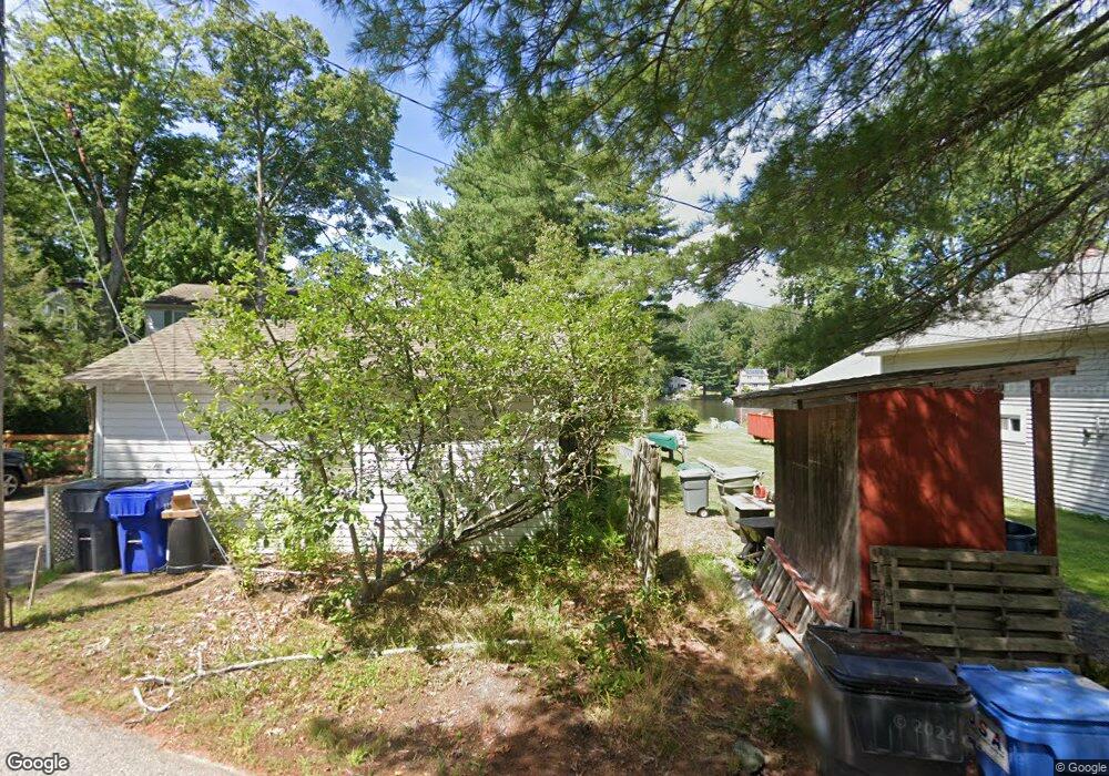
8 Knoll Dr Harwinton, CT 06791
Estimated Value: $449,780 - $682,000
3
Beds
2
Baths
1,935
Sq Ft
$273/Sq Ft
Est. Value
About This Home
This home is located at 8 Knoll Dr, Harwinton, CT 06791 and is currently estimated at $528,445, approximately $273 per square foot. 8 Knoll Dr is a home located in Litchfield County with nearby schools including Harwinton Consolidated School, Har-Bur Middle School, and Lewis S. Mills High School.
Ownership History
Date
Name
Owned For
Owner Type
Purchase Details
Closed on
Dec 14, 2015
Sold by
Keiler-Lane Sherri
Bought by
Keiler-Lane Sherri
Current Estimated Value
Purchase Details
Closed on
May 31, 2001
Sold by
Corelli Kathleen
Bought by
Keiler-Lane Sherri
Purchase Details
Closed on
Aug 7, 1997
Sold by
Grady Lois W
Bought by
Corelli Kathleen
Create a Home Valuation Report for This Property
The Home Valuation Report is an in-depth analysis detailing your home's value as well as a comparison with similar homes in the area
Home Values in the Area
Average Home Value in this Area
Purchase History
| Date | Buyer | Sale Price | Title Company |
|---|---|---|---|
| Keiler-Lane Sherri | -- | -- | |
| Keiler-Lane Sherri | -- | -- | |
| Keiler-Lane Sherri | $265,000 | -- | |
| Keiler-Lane Sherri | $265,000 | -- | |
| Corelli Kathleen | $192,000 | -- | |
| Corelli Kathleen | $192,000 | -- |
Source: Public Records
Mortgage History
| Date | Status | Borrower | Loan Amount |
|---|---|---|---|
| Previous Owner | Corelli Kathleen | $215,000 | |
| Previous Owner | Corelli Kathleen | $38,000 | |
| Previous Owner | Corelli Kathleen | $100,000 |
Source: Public Records
Tax History
| Year | Tax Paid | Tax Assessment Tax Assessment Total Assessment is a certain percentage of the fair market value that is determined by local assessors to be the total taxable value of land and additions on the property. | Land | Improvement |
|---|---|---|---|---|
| 2025 | $6,174 | $268,450 | $116,310 | $152,140 |
| 2024 | $6,148 | $268,450 | $116,310 | $152,140 |
| 2023 | $6,156 | $210,810 | $83,080 | $127,730 |
| 2022 | $6,008 | $210,810 | $83,080 | $127,730 |
| 2021 | $6,050 | $210,810 | $83,080 | $127,730 |
| 2020 | $5,902 | $210,770 | $83,080 | $127,690 |
| 2019 | $5,902 | $210,770 | $83,080 | $127,690 |
| 2018 | $5,174 | $184,770 | $50,130 | $134,640 |
| 2017 | $5,137 | $184,770 | $50,130 | $134,640 |
| 2016 | $5,137 | $184,770 | $50,130 | $134,640 |
| 2015 | $5,044 | $184,770 | $50,130 | $134,640 |
| 2014 | $4,970 | $184,770 | $50,130 | $134,640 |
Source: Public Records
Map
Nearby Homes
- 151 Highview Dr
- 164 Birge Park Rd
- 32 Ridgewood Dr
- 65 Oak Meadow Ln Unit 65
- 323 Highfield Dr
- 21 South Rd
- 14 Hannah Way
- 23 Hannah Way
- 272 Edgewood Dr
- 146 Highfield Dr
- 111 Oxbow Dr
- 336 Oak Ave
- 0 Torringford St W
- 83 Birge St
- 238 Barton St
- 544 Litchfield Rd
- 340 Hillside Ave
- 390 Park Ave
- 364 Park Ave
- 195 Torrington Heights Rd
Your Personal Tour Guide
Ask me questions while you tour the home.