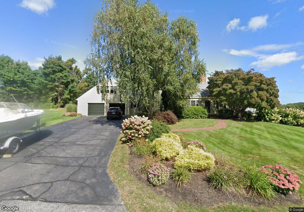
8 Lantern Ln Cumberland Foreside, ME 04110
Cumberland Foreside NeighborhoodEstimated Value: $1,705,032 - $2,007,000
3
Beds
4
Baths
2,599
Sq Ft
$695/Sq Ft
Est. Value
About This Home
This home is located at 8 Lantern Ln, Cumberland Foreside, ME 04110 and is currently estimated at $1,805,258, approximately $694 per square foot. 8 Lantern Ln is a home located in Cumberland County with nearby schools including Mabel I. Wilson School, Greely Middle School 4-5, and Greely Middle School.
Ownership History
Date
Name
Owned For
Owner Type
Purchase Details
Closed on
Mar 21, 2014
Sold by
Cain Robert C and Cain Carol T
Bought by
Marchese Julie J
Current Estimated Value
Home Financials for this Owner
Home Financials are based on the most recent Mortgage that was taken out on this home.
Original Mortgage
$350,000
Outstanding Balance
$89,165
Interest Rate
3.35%
Mortgage Type
New Conventional
Estimated Equity
$1,716,093
Create a Home Valuation Report for This Property
The Home Valuation Report is an in-depth analysis detailing your home's value as well as a comparison with similar homes in the area
Home Values in the Area
Average Home Value in this Area
Purchase History
| Date | Buyer | Sale Price | Title Company |
|---|---|---|---|
| Marchese Julie J | -- | -- | |
| Marchese Julie J | -- | -- | |
| Marchese Julie J | -- | -- |
Source: Public Records
Mortgage History
| Date | Status | Borrower | Loan Amount |
|---|---|---|---|
| Open | Marchese Julie J | $350,000 | |
| Closed | Marchese Julie J | $350,000 | |
| Previous Owner | Marchese Julie J | $417,000 | |
| Previous Owner | Marchese Julie J | $417,000 |
Source: Public Records
Tax History
| Year | Tax Paid | Tax Assessment Tax Assessment Total Assessment is a certain percentage of the fair market value that is determined by local assessors to be the total taxable value of land and additions on the property. | Land | Improvement |
|---|---|---|---|---|
| 2025 | $19,734 | $783,700 | $435,000 | $348,700 |
| 2024 | $18,221 | $783,700 | $435,000 | $348,700 |
| 2023 | $17,359 | $783,700 | $435,000 | $348,700 |
| 2022 | $16,614 | $783,700 | $435,000 | $348,700 |
| 2021 | $16,105 | $783,700 | $435,000 | $348,700 |
| 2020 | $15,948 | $783,700 | $435,000 | $348,700 |
| 2019 | $15,556 | $783,700 | $435,000 | $348,700 |
| 2018 | $15,803 | $802,200 | $435,000 | $367,200 |
| 2017 | $14,719 | $782,900 | $435,000 | $347,900 |
| 2016 | $14,288 | $782,900 | $435,000 | $347,900 |
| 2015 | $14,174 | $783,100 | $435,000 | $348,100 |
| 2014 | $13,626 | $783,100 | $435,000 | $348,100 |
| 2013 | $13,313 | $783,100 | $435,000 | $348,100 |
Source: Public Records
Map
Nearby Homes
- 24 Amerescoggin Rd
- 59 Underwood Rd
- 24 Johnson Rd
- 252 Foreside Rd
- 76 Johnson Rd
- 9 Conifer Ridge
- 5 & 6 Harmony Way
- 5 Harmony Way
- 267 U S Route 1 Unit 308
- 267 U S 1 Unit 305
- 267 U S 1 Unit 301
- 267 U S 1 Unit 404
- 267 U S 1 Unit 201
- 267 U S 1 Unit 309
- 267 U S 1 Unit PH503
- 93 Foreside Rd
- 16 Town Landing Rd
- 20 Depot Rd
- Lot 1 Acadia Dr
- 140 Longwoods Rd
Your Personal Tour Guide
Ask me questions while you tour the home.