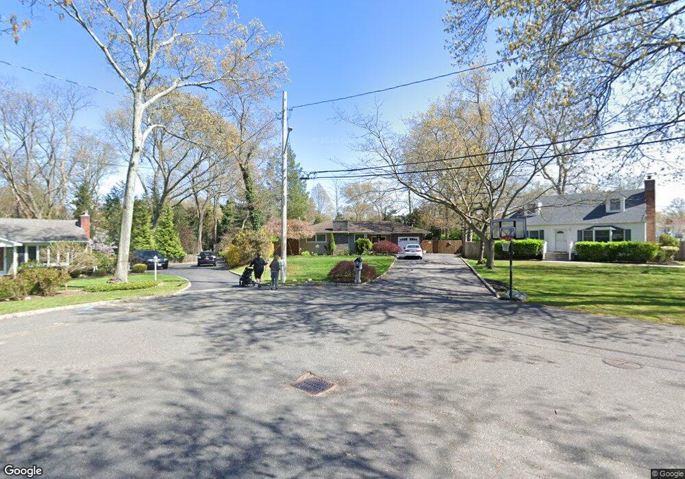
8 Lester Ct East Northport, NY 11731
Estimated Value: $801,000 - $869,904
4
Beds
2
Baths
--
Sq Ft
0.56
Acres
About This Home
This home is located at 8 Lester Ct, East Northport, NY 11731 and is currently estimated at $847,226. 8 Lester Ct is a home located in Suffolk County with nearby schools including Northport Senior High School, Trinity Regional School-East Northport Campus, and The School House.
Ownership History
Date
Name
Owned For
Owner Type
Purchase Details
Closed on
Sep 1, 2017
Sold by
Neway William and Neway Justine
Bought by
Delello Priscilla
Current Estimated Value
Home Financials for this Owner
Home Financials are based on the most recent Mortgage that was taken out on this home.
Original Mortgage
$459,000
Outstanding Balance
$383,606
Interest Rate
3.93%
Mortgage Type
New Conventional
Estimated Equity
$463,620
Purchase Details
Closed on
Jun 28, 2007
Sold by
Gurdon Margaret
Bought by
Neway William
Create a Home Valuation Report for This Property
The Home Valuation Report is an in-depth analysis detailing your home's value as well as a comparison with similar homes in the area
Home Values in the Area
Average Home Value in this Area
Purchase History
| Date | Buyer | Sale Price | Title Company |
|---|---|---|---|
| Delello Priscilla | $540,000 | None Available | |
| Neway William | $540,000 | Alissa Wool |
Source: Public Records
Mortgage History
| Date | Status | Borrower | Loan Amount |
|---|---|---|---|
| Open | Delello Priscilla | $459,000 |
Source: Public Records
Tax History Compared to Growth
Tax History
| Year | Tax Paid | Tax Assessment Tax Assessment Total Assessment is a certain percentage of the fair market value that is determined by local assessors to be the total taxable value of land and additions on the property. | Land | Improvement |
|---|---|---|---|---|
| 2024 | $12,536 | $3,900 | $400 | $3,500 |
| 2023 | $6,268 | $3,650 | $400 | $3,250 |
| 2022 | $11,833 | $3,650 | $400 | $3,250 |
| 2021 | $11,488 | $3,650 | $400 | $3,250 |
| 2020 | $11,318 | $3,650 | $400 | $3,250 |
| 2019 | $22,636 | $0 | $0 | $0 |
| 2018 | $9,929 | $3,650 | $400 | $3,250 |
| 2017 | $9,929 | $3,650 | $400 | $3,250 |
| 2016 | $9,765 | $3,650 | $400 | $3,250 |
| 2015 | -- | $3,650 | $400 | $3,250 |
| 2014 | -- | $3,650 | $400 | $3,250 |
Source: Public Records
Map
Nearby Homes
- 10 Ardendale Rd
- 42 Oakledge Dr
- 1170 5th Ave
- 4 Cori Ln
- 376 Clay Pitts Rd
- 126 Gail Ct
- 5 Brian Ln
- 1372 Pulaski Rd
- 1 Bruce Ln
- 13811387 Pulaski Rd Unit 1387
- 59 Grand Place
- 1293 Pulaski Rd
- 1420 Pulaski Rd
- 1270 Pulaski Rd
- 25 Woodsorrel Ln
- 19 Carlson Ln
- 12 Fairlee Dr
- 223 Town Line Rd
- 12 Wren Ct
- 21 Cullen Dr