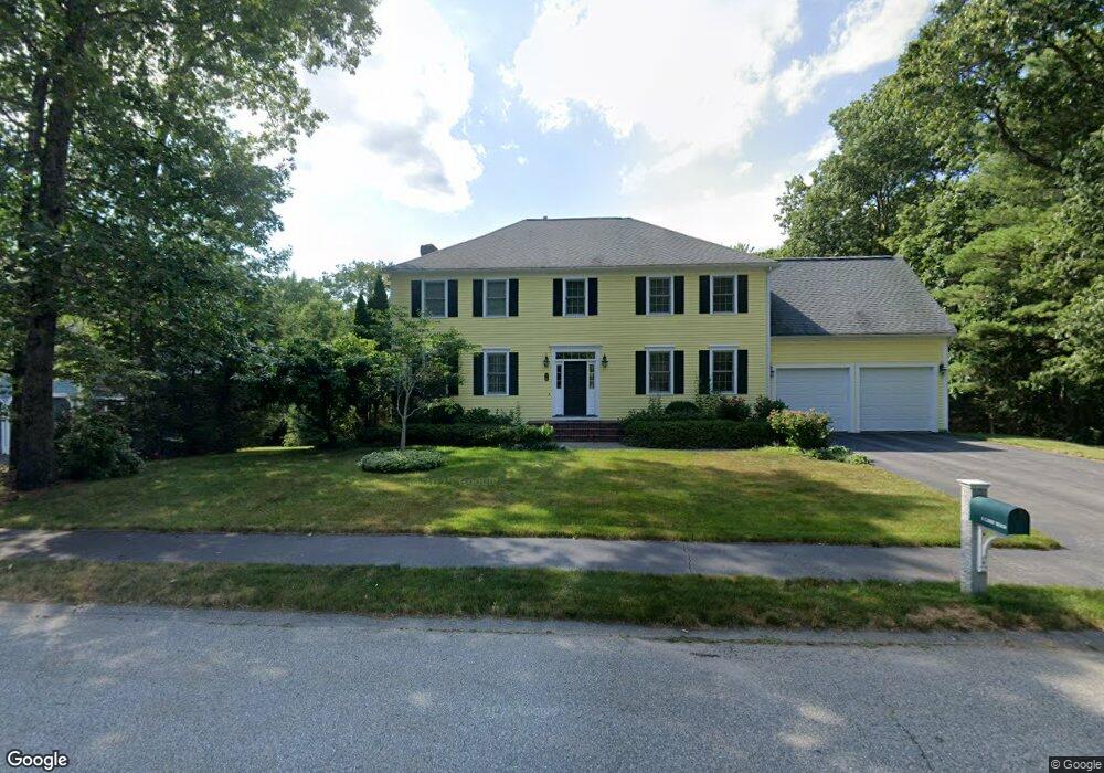
8 Libby Rd Natick, MA 01760
Estimated Value: $2,127,000 - $2,507,000
5
Beds
5
Baths
5,097
Sq Ft
$440/Sq Ft
Est. Value
About This Home
This home is located at 8 Libby Rd, Natick, MA 01760 and is currently estimated at $2,243,871, approximately $440 per square foot. 8 Libby Rd is a home located in Middlesex County with nearby schools including Natick High School, Memorial Elementary School, and J F Kennedy Middle School.
Ownership History
Date
Name
Owned For
Owner Type
Purchase Details
Closed on
Nov 4, 2005
Sold by
Chafin Jack A and Chafin Janice M
Bought by
Proctor Andrea and Proctor Tony J
Current Estimated Value
Home Financials for this Owner
Home Financials are based on the most recent Mortgage that was taken out on this home.
Original Mortgage
$1,000,000
Outstanding Balance
$541,538
Interest Rate
5.85%
Mortgage Type
Purchase Money Mortgage
Estimated Equity
$1,702,333
Create a Home Valuation Report for This Property
The Home Valuation Report is an in-depth analysis detailing your home's value as well as a comparison with similar homes in the area
Home Values in the Area
Average Home Value in this Area
Purchase History
| Date | Buyer | Sale Price | Title Company |
|---|---|---|---|
| Proctor Andrea | $1,375,000 | -- |
Source: Public Records
Mortgage History
| Date | Status | Borrower | Loan Amount |
|---|---|---|---|
| Open | Proctor Andrea | $1,000,000 |
Source: Public Records
Tax History
| Year | Tax Paid | Tax Assessment Tax Assessment Total Assessment is a certain percentage of the fair market value that is determined by local assessors to be the total taxable value of land and additions on the property. | Land | Improvement |
|---|---|---|---|---|
| 2025 | $23,125 | $1,933,500 | $663,000 | $1,270,500 |
| 2024 | $22,227 | $1,813,000 | $628,400 | $1,184,600 |
| 2023 | $21,157 | $1,673,800 | $627,600 | $1,046,200 |
| 2022 | $19,995 | $1,498,900 | $501,500 | $997,400 |
| 2021 | $9,632 | $1,428,500 | $495,000 | $933,500 |
| 2020 | $19,175 | $1,408,900 | $475,400 | $933,500 |
| 2019 | $9,785 | $1,408,900 | $475,400 | $933,500 |
| 2018 | $11,755 | $1,310,000 | $459,900 | $850,100 |
| 2017 | $17,275 | $1,280,600 | $445,800 | $834,800 |
| 2016 | $17,273 | $1,272,900 | $445,800 | $827,100 |
| 2015 | $16,671 | $1,206,300 | $445,800 | $760,500 |
Source: Public Records
Map
Nearby Homes
- 2 Arrow Path
- 165 Woodland St
- 48 Algonquian Dr
- 81 Woodland St
- 83 Eliot St
- 104 Eliot St
- 11 Avon St
- 67 E Central St & 5 Union St
- 192 Pond Rd
- 29 Water St
- 5 Wilson St Unit 5A
- 3A Wilson St Unit 3A
- 6A Lincoln St Unit 6A
- 4B Lincoln St Unit 4B
- 189 Eliot St
- 3 Wilson St Unit 3B
- 34 Marion St
- 3 Vale St Unit A
- 53 Harvard Street Extension
- 8 Floral Ave Unit 8
- 6 Libby Rd
- 4 Libby Rd
- 158 Woodland St
- 158 Woodland St Unit A
- 160 Woodland St
- 5 Libby Rd
- 125 Union St
- 0 Lot 2 Arrow Path Unit 14750634
- Lot 2 Arrow Path
- 164 Woodland St
- 115 Union St
- 2 Libby Rd
- 9 Scarsdale Rd
- 117 Union St
- 129 Union St
- 7 Scarsdale Rd
- 162 Woodland St
- 166 Woodland St
- 16-3 Union St Unit 3
- 168 Woodland St
Your Personal Tour Guide
Ask me questions while you tour the home.