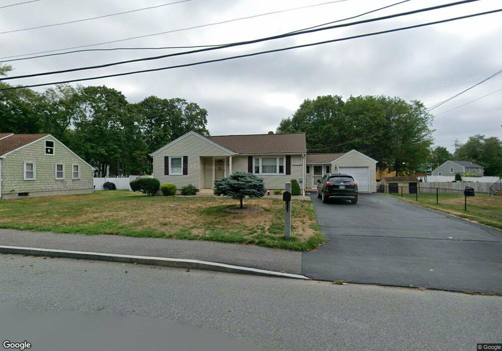
8 Linden St Taunton, MA 02780
Weir Village NeighborhoodEstimated Value: $448,000 - $468,373
2
Beds
1
Bath
1,236
Sq Ft
$371/Sq Ft
Est. Value
About This Home
This home is located at 8 Linden St, Taunton, MA 02780 and is currently estimated at $458,343, approximately $370 per square foot. 8 Linden St is a home located in Bristol County with nearby schools including East Taunton Elementary School, Taunton High School, and Our Lady of Lourdes School.
Ownership History
Date
Name
Owned For
Owner Type
Purchase Details
Closed on
Apr 25, 1994
Sold by
Irving Patricia M and Rusconi Antoinette R
Bought by
Cyr Matthew C and Baptiste Susan A
Current Estimated Value
Home Financials for this Owner
Home Financials are based on the most recent Mortgage that was taken out on this home.
Original Mortgage
$90,250
Interest Rate
7.6%
Mortgage Type
Purchase Money Mortgage
Create a Home Valuation Report for This Property
The Home Valuation Report is an in-depth analysis detailing your home's value as well as a comparison with similar homes in the area
Home Values in the Area
Average Home Value in this Area
Purchase History
| Date | Buyer | Sale Price | Title Company |
|---|---|---|---|
| Cyr Matthew C | $95,000 | -- |
Source: Public Records
Mortgage History
| Date | Status | Borrower | Loan Amount |
|---|---|---|---|
| Open | Cyr Matthew C | $57,000 | |
| Closed | Cyr Matthew C | $11,000 | |
| Closed | Cyr Matthew C | $62,500 | |
| Closed | Cyr Matthew C | $90,250 |
Source: Public Records
Tax History Compared to Growth
Tax History
| Year | Tax Paid | Tax Assessment Tax Assessment Total Assessment is a certain percentage of the fair market value that is determined by local assessors to be the total taxable value of land and additions on the property. | Land | Improvement |
|---|---|---|---|---|
| 2025 | $4,301 | $393,100 | $105,300 | $287,800 |
| 2024 | $4,005 | $357,900 | $105,300 | $252,600 |
| 2023 | $3,895 | $323,200 | $105,300 | $217,900 |
| 2022 | $3,725 | $282,600 | $87,800 | $194,800 |
| 2021 | $4,871 | $248,200 | $79,800 | $168,400 |
| 2020 | $4,627 | $235,000 | $79,800 | $155,200 |
| 2019 | $4,172 | $225,500 | $79,800 | $145,700 |
| 2018 | $3,292 | $209,400 | $80,600 | $128,800 |
| 2017 | $4,283 | $201,900 | $76,400 | $125,500 |
| 2016 | $3,059 | $195,100 | $74,200 | $120,900 |
| 2015 | $2,937 | $195,700 | $73,300 | $122,400 |
| 2014 | $2,811 | $192,400 | $73,300 | $119,100 |
Source: Public Records
Map
Nearby Homes
- 23 Johnson St Unit C
- 25 Johnson St Unit B
- 11 Williams St
- 71 Linden St
- 1301 Carriage Ln Unit 1301
- 600 County St
- 600 County St Lot A
- 600
- 55 Donna Terrace
- 6 W Summer St
- 26 Maynard St Unit A
- 1 Fayal Ave
- 222 Harris St
- 28 Barbara Rd
- 29 Williams Ave
- 170 Hart St Unit B
- 215 High St Unit 21
- 215 High St Unit 20
- 41 Hart Ave
- 3 Karena Dr Unit 8
- 6 Linden St
- 317 County St
- 10 Linden St
- 333 County St
- 297 County St
- 297 County St Unit 1
- 297 County St Unit 2
- 5 Linden St
- 12 Linden St
- 318 County St
- 0 Johnson St Unit 71101189
- 0 Johnson St Unit 73143176
- 0 Johnson St Unit 72885028
- 14 Linden St
- 345 County St Unit 1
- 345 County St
- 330 County St
- 4 Johnson St Unit 4A
- 4 Johnson St
- 283 County St