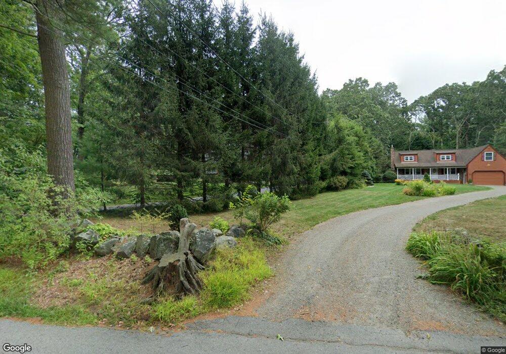
8 Long Hill Rd Rowley, MA 01969
Estimated Value: $728,304 - $884,000
3
Beds
2
Baths
2,350
Sq Ft
$352/Sq Ft
Est. Value
About This Home
This home is located at 8 Long Hill Rd, Rowley, MA 01969 and is currently estimated at $827,326, approximately $352 per square foot. 8 Long Hill Rd is a home located in Essex County with nearby schools including Triton Regional High School, North Shore Montessori School, and Clark School.
Ownership History
Date
Name
Owned For
Owner Type
Purchase Details
Closed on
May 10, 1996
Sold by
Walsh Maureen
Bought by
Ray Jennifer and Kannally Timothy
Current Estimated Value
Home Financials for this Owner
Home Financials are based on the most recent Mortgage that was taken out on this home.
Original Mortgage
$164,000
Interest Rate
7.67%
Mortgage Type
Purchase Money Mortgage
Create a Home Valuation Report for This Property
The Home Valuation Report is an in-depth analysis detailing your home's value as well as a comparison with similar homes in the area
Home Values in the Area
Average Home Value in this Area
Purchase History
| Date | Buyer | Sale Price | Title Company |
|---|---|---|---|
| Ray Jennifer | $205,000 | -- |
Source: Public Records
Mortgage History
| Date | Status | Borrower | Loan Amount |
|---|---|---|---|
| Open | Ray Jennifer | $141,000 | |
| Closed | Ray Jennifer | $164,000 | |
| Previous Owner | Ray Jennifer | $40,000 | |
| Previous Owner | Ray Jennifer | $76,000 |
Source: Public Records
Tax History
| Year | Tax Paid | Tax Assessment Tax Assessment Total Assessment is a certain percentage of the fair market value that is determined by local assessors to be the total taxable value of land and additions on the property. | Land | Improvement |
|---|---|---|---|---|
| 2025 | $7,734 | $657,100 | $280,000 | $377,100 |
| 2024 | $7,114 | $587,900 | $266,800 | $321,100 |
| 2023 | $7,169 | $550,600 | $232,000 | $318,600 |
| 2022 | $7,189 | $491,700 | $193,200 | $298,500 |
| 2021 | $7,017 | $450,400 | $168,000 | $282,400 |
| 2020 | $6,861 | $440,400 | $160,000 | $280,400 |
| 2019 | $6,258 | $426,300 | $160,000 | $266,300 |
| 2018 | $5,807 | $398,300 | $160,000 | $238,300 |
| 2017 | $5,486 | $388,000 | $160,000 | $228,000 |
| 2016 | $5,658 | $394,000 | $139,200 | $254,800 |
| 2015 | $5,192 | $364,600 | $139,200 | $225,400 |
Source: Public Records
Map
Nearby Homes
- 30 Christa Dr
- 12 Warren St
- 7 Raymond Ct
- 161 Tenney St
- 22 Taylor Ln
- 76-78 Daniels Rd
- 304-312 Wethersfield St
- 308 & 312 Wethersfield St
- 12 Birch Ln
- 870 Haverhill St Unit 2B
- 870 Haverhill St Unit 23
- 460 - 472 Newburyport Turnpike
- 17 Ice Pond Dr
- 66 Parish Rd Unit 8
- 66 Parish Rd Unit 4
- 304 & 480 Wethersfield St & Nbpt Tnpk
- Lot 6 Osprey Ct
- 1 Osprey Ct
- 22 Tenney St
- 459 North St
- 12 Long Hill Rd
- 18 Long Hill Rd
- 4 Long Hill Rd
- 11 Long Hill Rd
- 3 Long Hill Rd
- 25 Christa Dr
- 22 Long Hill Rd
- 17 Long Hill Rd
- 660 Wethersfield St
- 694 Wethersfield St
- 19 Christa Dr
- 26 Long Hill Rd
- 679 Wethersfield St
- 696 Wethersfield St
- 7 Christa Dr
- 27 Long Hill Rd
- 317 Dodge Rd
- 701 Wethersfield St
- 313 Dodge Rd
- 675 Wethersfield St
Your Personal Tour Guide
Ask me questions while you tour the home.