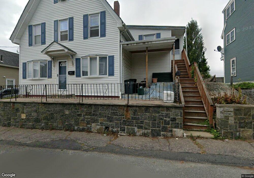
8 Lookout St Unit 2 Gloucester, MA 01930
Central Gloucester NeighborhoodEstimated Value: $424,000 - $544,000
4
Beds
1
Bath
1,450
Sq Ft
$330/Sq Ft
Est. Value
About This Home
This home is located at 8 Lookout St Unit 2, Gloucester, MA 01930 and is currently estimated at $478,640, approximately $330 per square foot. 8 Lookout St Unit 2 is a home located in Essex County with nearby schools including Beeman Memorial, Ralph B O'maley Middle School, and Gloucester High School.
Ownership History
Date
Name
Owned For
Owner Type
Purchase Details
Closed on
Nov 18, 2019
Sold by
Harnish John R and Harnish Meaghan E
Bought by
Cusumano Anthony J and Gelfand Catherine E
Current Estimated Value
Home Financials for this Owner
Home Financials are based on the most recent Mortgage that was taken out on this home.
Original Mortgage
$408,000
Outstanding Balance
$359,292
Interest Rate
3.65%
Mortgage Type
Commercial
Estimated Equity
$119,348
Purchase Details
Closed on
Jun 1, 2007
Sold by
Lookout Rt and Leveille Christine
Bought by
Harnish Meaghan E and Harnish John R
Home Financials for this Owner
Home Financials are based on the most recent Mortgage that was taken out on this home.
Original Mortgage
$210,000
Interest Rate
6.24%
Mortgage Type
Purchase Money Mortgage
Create a Home Valuation Report for This Property
The Home Valuation Report is an in-depth analysis detailing your home's value as well as a comparison with similar homes in the area
Home Values in the Area
Average Home Value in this Area
Purchase History
| Date | Buyer | Sale Price | Title Company |
|---|---|---|---|
| Cusumano Anthony J | $220,000 | -- | |
| Harnish Meaghan E | $240,000 | -- |
Source: Public Records
Mortgage History
| Date | Status | Borrower | Loan Amount |
|---|---|---|---|
| Open | Cusumano Anthony J | $408,000 | |
| Previous Owner | Harnish Meaghan E | $210,000 |
Source: Public Records
Tax History
| Year | Tax Paid | Tax Assessment Tax Assessment Total Assessment is a certain percentage of the fair market value that is determined by local assessors to be the total taxable value of land and additions on the property. | Land | Improvement |
|---|---|---|---|---|
| 2025 | $3,578 | $368,100 | $0 | $368,100 |
| 2024 | $3,283 | $337,400 | $0 | $337,400 |
| 2023 | $3,155 | $297,900 | $0 | $297,900 |
| 2022 | $3,171 | $270,300 | $0 | $270,300 |
| 2021 | $3,166 | $254,500 | $0 | $254,500 |
| 2020 | $3,138 | $254,500 | $0 | $254,500 |
| 2019 | $2,995 | $236,000 | $0 | $236,000 |
| 2018 | $2,830 | $218,900 | $0 | $218,900 |
| 2017 | $2,679 | $203,100 | $0 | $203,100 |
| 2016 | $2,549 | $187,300 | $0 | $187,300 |
| 2015 | $2,503 | $183,400 | $0 | $183,400 |
Source: Public Records
Map
Nearby Homes
- 20 Beacon St
- 20 Beacon St Unit 2
- 20 Beacon St Unit 1
- 120 Washington St
- 15 Harvard St
- 13 Leslie o Johnson Rd
- 33 Middle St
- 35 Middle St Unit 4
- 33 Maplewood Ave Unit 310
- 6 Monroe Ct
- 98 Maplewood Ave
- 113 Pleasant St
- 9 Cleveland Place
- 12 Arthur St
- 3 Rockland St
- 8 Mystic Ave
- 191 Main St Unit 3
- 191 Main St Unit 2A
- 40 Sargent St
- 50 Warner St
- 8 Lookout St Unit 1
- 6 Lookout St
- 10 Lookout St Unit 3
- 10 Lookout St Unit 2
- 10 Lookout St Unit 1
- 17 Conant Ave
- 9 Lookout St
- 15 Conant Ave
- 4 Lookout St
- 4 Lookout St Unit First Floor Unit
- 12 Lookout St
- 11 Lookout St
- 3 Bellevue Ave
- 35 Beacon St
- 5 Lookout St
- 37 Beacon St
- 33 Beacon St
- 14 Lookout St
- 5 Bellevue Ave
- 31 Beacon St
Your Personal Tour Guide
Ask me questions while you tour the home.