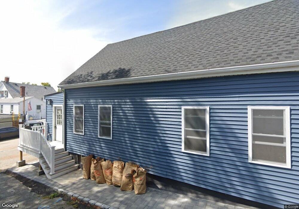
8 Louds Ave Weymouth, MA 02188
Weymouth Landing NeighborhoodEstimated Value: $579,000 - $647,000
3
Beds
3
Baths
1,631
Sq Ft
$369/Sq Ft
Est. Value
About This Home
This home is located at 8 Louds Ave, Weymouth, MA 02188 and is currently estimated at $601,183, approximately $368 per square foot. 8 Louds Ave is a home located in Norfolk County with nearby schools including Frederick C Murphy, Abigail Adams Middle School, and Weymouth Middle School Chapman.
Ownership History
Date
Name
Owned For
Owner Type
Purchase Details
Closed on
Jun 10, 2025
Sold by
Freedom Ventures Iii Llc
Bought by
Sppp Holdings Rt and Morgan
Current Estimated Value
Purchase Details
Closed on
Jun 28, 2023
Sold by
Dowd Rt and Dowd
Bought by
Freedom Ventures Iii Llc
Purchase Details
Closed on
Apr 29, 2016
Sold by
Dowd George T and Dowd Anita C
Bought by
Dowd Rt and Dowd
Create a Home Valuation Report for This Property
The Home Valuation Report is an in-depth analysis detailing your home's value as well as a comparison with similar homes in the area
Home Values in the Area
Average Home Value in this Area
Purchase History
| Date | Buyer | Sale Price | Title Company |
|---|---|---|---|
| Sppp Holdings Rt | -- | None Available | |
| Sppp Holdings Rt | -- | None Available | |
| Freedom Ventures Iii Llc | $1,025,000 | None Available | |
| Freedom Ventures Iii Llc | $1,025,000 | None Available | |
| Dowd Rt | -- | -- | |
| Dowd Rt | -- | -- |
Source: Public Records
Tax History Compared to Growth
Tax History
| Year | Tax Paid | Tax Assessment Tax Assessment Total Assessment is a certain percentage of the fair market value that is determined by local assessors to be the total taxable value of land and additions on the property. | Land | Improvement |
|---|---|---|---|---|
| 2025 | $4,857 | $480,900 | $211,800 | $269,100 |
| 2024 | $4,594 | $447,300 | $201,800 | $245,500 |
| 2023 | $4,435 | $424,400 | $186,800 | $237,600 |
| 2022 | $4,332 | $378,000 | $173,000 | $205,000 |
| 2021 | $4,034 | $343,600 | $173,000 | $170,600 |
| 2020 | $3,864 | $324,200 | $173,000 | $151,200 |
| 2019 | $3,771 | $311,100 | $166,400 | $144,700 |
| 2018 | $3,656 | $292,500 | $158,400 | $134,100 |
| 2017 | $3,483 | $271,900 | $150,900 | $121,000 |
| 2016 | $3,346 | $261,400 | $145,100 | $116,300 |
| 2015 | $3,153 | $244,400 | $138,500 | $105,900 |
| 2014 | $3,020 | $227,100 | $128,900 | $98,200 |
Source: Public Records
Map
Nearby Homes
- 16 Lindbergh Ave
- 23-25 Lindbergh Ave
- 19 Vine St Unit 3
- 19 Vine St Unit 1
- 114 Broad St Unit D
- 114 Broad St Unit C
- 33 Congress St
- 76 Kingman St
- 11 Richmond St
- 15 Summer St
- 122 Washington St Unit 22
- 24 Blake Rd
- 286 Broad St
- 12 Klasson Ln
- 36 Brookside Rd
- 286 Essex St
- 367 Essex St
- 42 Sundin Rd
- 294 Commercial St
- 37 Lantern Ln
- 288 Washington St
- 16 Louds Ave
- 284 Washington St
- 284 Washington St Unit 1
- 12 Kensington Rd
- 11 Louds Ave
- 15 Louds Ave
- 9 Louds Ave
- 9 Louds Ave Unit 9
- 9 Louds Ave
- 272 Washington St
- 287 Washington St
- 277 Washington St Unit 279
- 76 Vine St
- 32 Kensington Rd
- 273 Washington St
- 273 Washington St
- 307 Washington St Unit 2
- 307 Washington St Unit 3-
- 264 Washington St