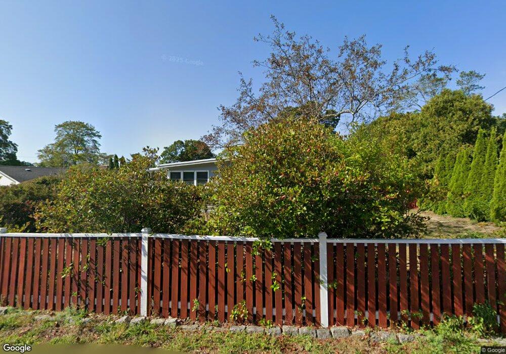
8 Lowe Dr Gloucester, MA 01930
Magnolia NeighborhoodEstimated Value: $783,194 - $921,000
4
Beds
2
Baths
1,700
Sq Ft
$506/Sq Ft
Est. Value
About This Home
This home is located at 8 Lowe Dr, Gloucester, MA 01930 and is currently estimated at $860,049, approximately $505 per square foot. 8 Lowe Dr is a home located in Essex County with nearby schools including West Parish, Ralph B O'maley Middle School, and Gloucester High School.
Ownership History
Date
Name
Owned For
Owner Type
Purchase Details
Closed on
Jun 26, 2025
Sold by
Mccarthy John W
Bought by
John W Mccarthy 2025 Ret and Mccarthy
Current Estimated Value
Purchase Details
Closed on
Nov 1, 2011
Sold by
Mccarthy Maureen A
Bought by
Maccarthy John W and Mccarthy Maureen A
Purchase Details
Closed on
Aug 27, 1999
Sold by
Robinson Kathleen M
Bought by
Mccarthy Maureen A
Create a Home Valuation Report for This Property
The Home Valuation Report is an in-depth analysis detailing your home's value as well as a comparison with similar homes in the area
Home Values in the Area
Average Home Value in this Area
Purchase History
| Date | Buyer | Sale Price | Title Company |
|---|---|---|---|
| John W Mccarthy 2025 Ret | -- | -- | |
| John W Mccarthy 2025 Ret | -- | -- | |
| John W Mccarthy 2025 Ret | -- | -- | |
| Maccarthy John W | -- | -- | |
| Maccarthy John W | -- | -- | |
| Mccarthy Maureen A | $260,000 | -- | |
| Mccarthy Maureen A | $260,000 | -- |
Source: Public Records
Mortgage History
| Date | Status | Borrower | Loan Amount |
|---|---|---|---|
| Previous Owner | Mccarthy Maureen A | $195,000 | |
| Previous Owner | Mccarthy Maureen A | $115,000 |
Source: Public Records
Tax History
| Year | Tax Paid | Tax Assessment Tax Assessment Total Assessment is a certain percentage of the fair market value that is determined by local assessors to be the total taxable value of land and additions on the property. | Land | Improvement |
|---|---|---|---|---|
| 2025 | $6,910 | $710,900 | $260,900 | $450,000 |
| 2024 | $6,727 | $691,400 | $248,400 | $443,000 |
| 2023 | $6,763 | $638,600 | $221,900 | $416,700 |
| 2022 | $6,338 | $540,300 | $188,600 | $351,700 |
| 2021 | $6,377 | $512,600 | $171,500 | $341,100 |
| 2020 | $5,990 | $485,800 | $171,500 | $314,300 |
| 2019 | $5,962 | $469,800 | $171,500 | $298,300 |
| 2018 | $5,922 | $458,000 | $171,500 | $286,500 |
| 2017 | $5,767 | $437,200 | $163,300 | $273,900 |
| 2016 | $5,587 | $410,500 | $163,800 | $246,700 |
| 2015 | $5,501 | $403,000 | $163,800 | $239,200 |
Source: Public Records
Map
Nearby Homes
- 2 Ocean Ave Unit 2K
- 53 Raymond St
- 24 Flume Rd
- 468 Summer St
- 450 Summer St
- 239 Summer St
- 8 Forest St
- 4 Cobb Ave
- 368 Essex Ave
- 5 Marshfield St
- 100 Eastern Point Blvd
- 6 Smith Ln Unit 6
- 45 School St
- 25 Masconomo St
- 8 Flatley Ave
- 5 Lepage Ln
- 24 Cobblestone Ln Unit 603
- 5 Samoset Rd Unit B
- 145 Essex Ave Unit 402
- 26 Central St
Your Personal Tour Guide
Ask me questions while you tour the home.