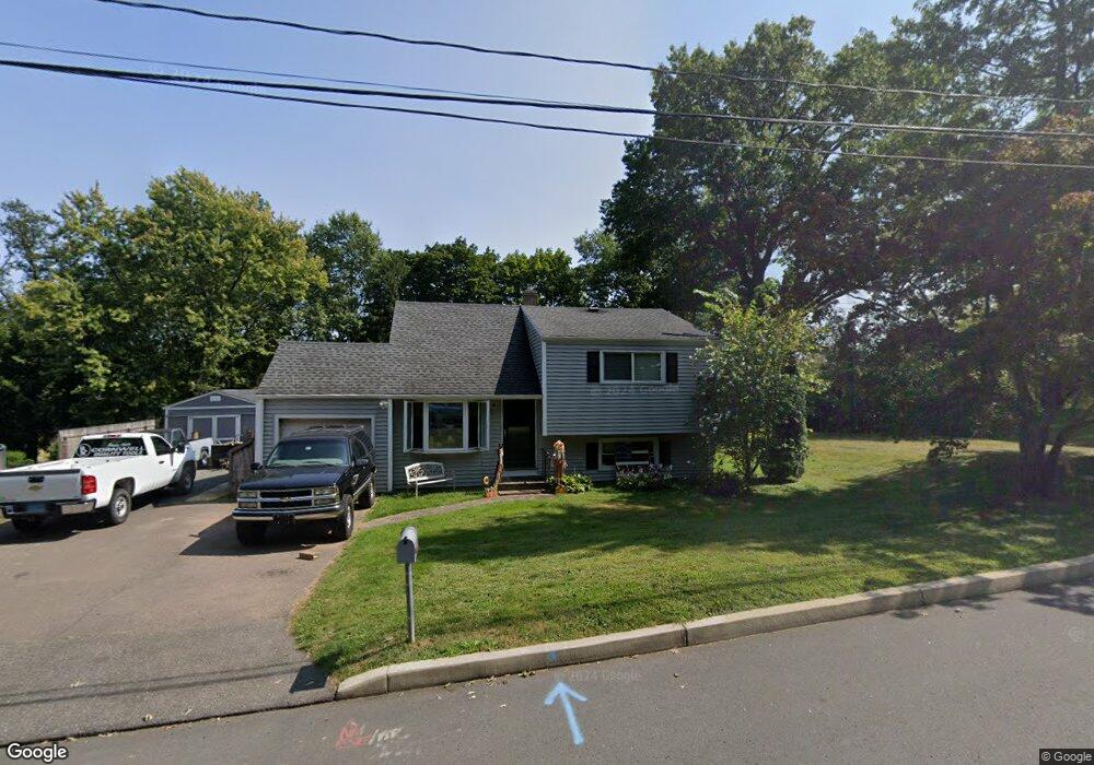
8 Lucinda Ln Middletown, CT 06457
Westfield NeighborhoodEstimated Value: $334,000 - $364,000
3
Beds
2
Baths
1,346
Sq Ft
$261/Sq Ft
Est. Value
About This Home
This home is located at 8 Lucinda Ln, Middletown, CT 06457 and is currently estimated at $351,354, approximately $261 per square foot. 8 Lucinda Ln is a home located in Middlesex County with nearby schools including St John Paul II School.
Ownership History
Date
Name
Owned For
Owner Type
Purchase Details
Closed on
Nov 21, 2017
Sold by
Margaret Lane T
Bought by
Lane Margaret
Current Estimated Value
Purchase Details
Closed on
Jan 12, 2007
Sold by
Est Howell Idella and Washington Sammie
Bought by
Greenwood Kelly
Home Financials for this Owner
Home Financials are based on the most recent Mortgage that was taken out on this home.
Original Mortgage
$112,000
Interest Rate
6.18%
Create a Home Valuation Report for This Property
The Home Valuation Report is an in-depth analysis detailing your home's value as well as a comparison with similar homes in the area
Home Values in the Area
Average Home Value in this Area
Purchase History
| Date | Buyer | Sale Price | Title Company |
|---|---|---|---|
| Lane Margaret | -- | -- | |
| Greenwood Kelly | $140,000 | -- |
Source: Public Records
Mortgage History
| Date | Status | Borrower | Loan Amount |
|---|---|---|---|
| Previous Owner | Greenwood Kelly | $112,000 |
Source: Public Records
Tax History Compared to Growth
Tax History
| Year | Tax Paid | Tax Assessment Tax Assessment Total Assessment is a certain percentage of the fair market value that is determined by local assessors to be the total taxable value of land and additions on the property. | Land | Improvement |
|---|---|---|---|---|
| 2025 | $6,508 | $167,310 | $64,640 | $102,670 |
| 2024 | $6,157 | $167,310 | $64,640 | $102,670 |
| 2023 | $5,873 | $167,310 | $64,640 | $102,670 |
| 2022 | $5,146 | $116,960 | $43,090 | $73,870 |
| 2021 | $5,041 | $114,570 | $43,090 | $71,480 |
| 2020 | $5,064 | $114,570 | $43,090 | $71,480 |
| 2019 | $5,087 | $114,570 | $43,090 | $71,480 |
| 2018 | $5,007 | $114,570 | $43,090 | $71,480 |
| 2017 | $4,706 | $110,990 | $46,480 | $64,510 |
| 2016 | $4,573 | $110,990 | $46,480 | $64,510 |
| 2015 | $4,395 | $110,990 | $46,480 | $64,510 |
| 2014 | $4,440 | $110,990 | $46,480 | $64,510 |
Source: Public Records
Map
Nearby Homes
- 36 Brookview Ln
- 94 Cynthia Ln Unit D-5
- 404 Newfield St
- 180 Bailey Rd
- 27 Valley Dr
- 85 Aspen Dr
- 136 Westfield St
- 122 Nejako Dr
- 30 Hemlock Place
- 80 Birchwood Dr
- 3 Nathan Hale Rd
- 4 Nathan Hale Rd
- 1 Nathan Hale Rd
- 2 Nathan Hale Rd
- 82 Westfield Terrace
- 59 Westfield Terrace
- 59 Willow Bee Ln
- 18 Phedon Pkwy
- 31 Broadview Pkwy
- 10 Talias Trail
- 7 Lucinda Ln
- 31 Lucinda Ln
- 20 Lucinda Ln
- 96 Congdon St E
- 19 Lucinda Ln
- 121 Congdon St E
- 30 Lucinda Ln
- 131 Congdon St E
- 140 Congdon St E
- 111 Congdon St E
- 90 Congdon St E
- 101 Congdon St E
- 141 Congdon St E
- 40 Lucinda Ln
- 22 Cynthia Ln
- 150 Congdon St E
- 151 Congdon St E
- 41 Lucinda Ln
- 80 Spring Brook Dr
- 88 Spring Brook Dr