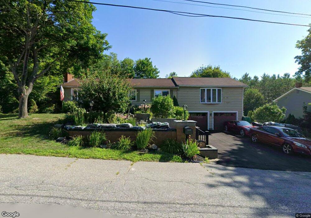
8 Manning Place Lewiston, ME 04240
Estimated Value: $382,000 - $463,000
4
Beds
3
Baths
1,584
Sq Ft
$255/Sq Ft
Est. Value
About This Home
This home is located at 8 Manning Place, Lewiston, ME 04240 and is currently estimated at $404,362, approximately $255 per square foot. 8 Manning Place is a home located in Androscoggin County with nearby schools including Raymond A. Geiger Elementary School, Lewiston High School, and The Discovery School.
Ownership History
Date
Name
Owned For
Owner Type
Purchase Details
Closed on
Aug 20, 2021
Sold by
Bonner Helen A Est
Bought by
Bonner Jacqueline D and Bonner Karl G
Current Estimated Value
Home Financials for this Owner
Home Financials are based on the most recent Mortgage that was taken out on this home.
Original Mortgage
$104,000
Outstanding Balance
$94,364
Interest Rate
2.9%
Mortgage Type
Purchase Money Mortgage
Estimated Equity
$309,998
Purchase Details
Closed on
Jul 22, 2009
Sold by
Bank Of America Na
Bought by
Bonner Charles W and Bonner Helen A
Purchase Details
Closed on
Jan 27, 2009
Sold by
Dillingham Russell R and Avelo Mortgage Llc
Bought by
Avelo Mortgage Llc
Create a Home Valuation Report for This Property
The Home Valuation Report is an in-depth analysis detailing your home's value as well as a comparison with similar homes in the area
Home Values in the Area
Average Home Value in this Area
Purchase History
| Date | Buyer | Sale Price | Title Company |
|---|---|---|---|
| Bonner Jacqueline D | -- | None Available | |
| Bonner Charles W | -- | -- | |
| Avelo Mortgage Llc | -- | -- | |
| Avelo Mortgage Llc | -- | -- |
Source: Public Records
Mortgage History
| Date | Status | Borrower | Loan Amount |
|---|---|---|---|
| Open | Bonner Jacqueline D | $104,000 |
Source: Public Records
Tax History Compared to Growth
Tax History
| Year | Tax Paid | Tax Assessment Tax Assessment Total Assessment is a certain percentage of the fair market value that is determined by local assessors to be the total taxable value of land and additions on the property. | Land | Improvement |
|---|---|---|---|---|
| 2025 | $4,661 | $142,200 | $26,160 | $116,040 |
| 2024 | $4,518 | $142,200 | $26,160 | $116,040 |
| 2023 | $4,266 | $142,200 | $26,160 | $116,040 |
| 2022 | $4,053 | $142,200 | $26,160 | $116,040 |
| 2021 | $4,019 | $142,200 | $26,160 | $116,040 |
| 2020 | $4,077 | $142,200 | $26,160 | $116,040 |
| 2019 | $4,112 | $142,240 | $26,160 | $116,080 |
| 2018 | $4,078 | $142,240 | $26,160 | $116,080 |
| 2017 | $3,802 | $135,700 | $26,160 | $109,540 |
| 2016 | $3,737 | $135,700 | $26,160 | $109,540 |
| 2015 | $3,714 | $135,700 | $26,160 | $109,540 |
| 2014 | $3,608 | $135,700 | $26,160 | $109,540 |
| 2013 | $3,588 | $135,700 | $26,160 | $109,540 |
Source: Public Records
Map
Nearby Homes
- 10 Manning Place
- 6 Manning Place
- 7 Manning Place
- 9 Manning Place
- 5 Manning Place
- 4 Manning Place
- 12 Manning Place
- 4 Halstead Terrace
- 3 Manning Place
- 3 Halstead Terrace
- 6 Halstead Terrace
- 5 Orestis Way
- 19 Orestis Way
- 5 Halstead Terrace
- 2 Manning Place
- 457 College St
- 11 Manning Place
- 25 Orestis Way
- 445 College St
- 465 College St