Estimated Value: $53,000 - $57,000
2
Beds
1
Bath
783
Sq Ft
$70/Sq Ft
Est. Value
About This Home
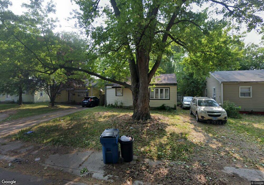
This home is located at 8 Manor Ct, Springfield, IL 62703 and is currently estimated at $54,839, approximately $70 per square foot. 8 Manor Ct is a home located in Sangamon County with nearby schools including Laketown Elementary School, Washington Middle School, and Springfield Southeast High School.
Ownership History
Date
Name
Owned For
Owner Type
Purchase Details
Closed on
Dec 2, 2019
Sold by
Hix Properties Llc
Bought by
Morgan Micah
Current Estimated Value
Home Financials for this Owner
Home Financials are based on the most recent Mortgage that was taken out on this home.
Original Mortgage
$26,250
Interest Rate
5.25%
Mortgage Type
Construction
Purchase Details
Closed on
Aug 31, 2006
Purchase Details
Closed on
Aug 30, 2004
Purchase Details
Closed on
Jul 16, 2004
Purchase Details
Closed on
Aug 23, 1994
Create a Home Valuation Report for This Property
The Home Valuation Report is an in-depth analysis detailing your home's value as well as a comparison with similar homes in the area
Home Values in the Area
Average Home Value in this Area
Purchase History
| Date | Buyer | Sale Price | Title Company |
|---|---|---|---|
| Morgan Micah | $18,000 | Prairie Land Title | |
| -- | -- | -- | |
| -- | -- | -- | |
| -- | $22,500 | -- | |
| -- | $29,000 | -- |
Source: Public Records
Mortgage History
| Date | Status | Borrower | Loan Amount |
|---|---|---|---|
| Closed | Morgan Micah | $26,250 |
Source: Public Records
Tax History
| Year | Tax Paid | Tax Assessment Tax Assessment Total Assessment is a certain percentage of the fair market value that is determined by local assessors to be the total taxable value of land and additions on the property. | Land | Improvement |
|---|---|---|---|---|
| 2024 | $638 | $7,594 | $1,824 | $5,770 |
| 2023 | $613 | $6,936 | $1,666 | $5,270 |
| 2022 | $590 | $6,579 | $1,580 | $4,999 |
| 2021 | $570 | $6,333 | $1,521 | $4,812 |
| 2020 | $559 | $6,342 | $1,523 | $4,819 |
| 2019 | $669 | $7,712 | $1,517 | $6,195 |
| 2018 | $717 | $8,485 | $1,511 | $6,974 |
| 2017 | $702 | $8,375 | $1,491 | $6,884 |
| 2016 | $688 | $8,253 | $1,469 | $6,784 |
| 2015 | $682 | $8,154 | $1,451 | $6,703 |
| 2014 | $671 | $8,102 | $1,442 | $6,660 |
| 2013 | $656 | $8,102 | $1,442 | $6,660 |
Source: Public Records
Map
Nearby Homes
- 1105 Knoll Pointe Place
- 253 White City Blvd
- 222 S David St
- 2236 E Adams St
- 9 Alken Ct
- 2325 E Spruce St
- 1848 Honeysuckle Ct
- 1909 E Cedar St
- 300 Forrest Ave Unit 62
- 300 Forrest Ave Unit 107
- 300 Forrest Ave Unit 109
- 1838 S 19th St
- 1405 E Edwards St
- 1415 E Jefferson St
- 2041 E Cedar St
- 29 Melody Ln
- 2176 S Martin Luther King Junior Dr
- 1124 E Laurel St
- 1622 E Cornell Ave
- 810 E Edwards St
Your Personal Tour Guide
Ask me questions while you tour the home.