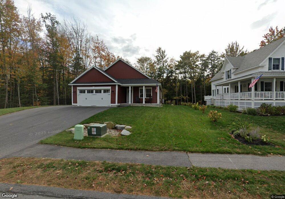
8 Mason Way Old Orchard Beach, ME 04064
Estimated Value: $710,677 - $755,000
3
Beds
2
Baths
1,700
Sq Ft
$431/Sq Ft
Est. Value
About This Home
This home is located at 8 Mason Way, Old Orchard Beach, ME 04064 and is currently estimated at $732,669, approximately $430 per square foot. 8 Mason Way is a home located in York County with nearby schools including Jameson Elementary School, Loranger Memorial School, and Old Orchard Beach High School.
Ownership History
Date
Name
Owned For
Owner Type
Purchase Details
Closed on
Dec 4, 2020
Sold by
Blue Ladder Hldg Llc
Bought by
Fairweather John R
Current Estimated Value
Home Financials for this Owner
Home Financials are based on the most recent Mortgage that was taken out on this home.
Original Mortgage
$339,950
Outstanding Balance
$303,197
Interest Rate
2.8%
Mortgage Type
New Conventional
Estimated Equity
$429,472
Create a Home Valuation Report for This Property
The Home Valuation Report is an in-depth analysis detailing your home's value as well as a comparison with similar homes in the area
Home Values in the Area
Average Home Value in this Area
Purchase History
| Date | Buyer | Sale Price | Title Company |
|---|---|---|---|
| Fairweather John R | -- | None Available |
Source: Public Records
Mortgage History
| Date | Status | Borrower | Loan Amount |
|---|---|---|---|
| Open | Fairweather John R | $339,950 |
Source: Public Records
Tax History Compared to Growth
Tax History
| Year | Tax Paid | Tax Assessment Tax Assessment Total Assessment is a certain percentage of the fair market value that is determined by local assessors to be the total taxable value of land and additions on the property. | Land | Improvement |
|---|---|---|---|---|
| 2024 | $6,676 | $613,600 | $170,700 | $442,900 |
| 2023 | $6,397 | $561,100 | $166,600 | $394,500 |
| 2022 | $6,118 | $499,800 | $133,200 | $366,600 |
| 2021 | $5,868 | $414,400 | $123,000 | $291,400 |
| 2020 | $1,318 | $85,500 | $85,500 | $0 |
| 2019 | $1,325 | $85,500 | $85,500 | $0 |
| 2018 | $537 | $35,100 | $35,100 | $0 |
| 2017 | $0 | $0 | $0 | $0 |
| 2016 | -- | $0 | $0 | $0 |
| 2015 | -- | $0 | $0 | $0 |
| 2014 | -- | $0 | $0 | $0 |
| 2013 | -- | $0 | $0 | $0 |
Source: Public Records
Map
Nearby Homes
- 52 Wild Dunes Way Unit 1A
- 52 Wild Dunes Way Unit 17B
- 26 Kavanaugh Rd
- 4 Kavanaugh Rd
- 78 Ryefield Dr
- 26 Wild Dunes Way
- 83 Wild Dunes Way
- 5 Wilson Dr
- 3 Bayberry Dr
- 4 Mickelson Way
- 78 Wild Dunes Way
- 5 Magnolia Dr
- 15 Magnolia Dr
- 24 Magnolia Dr
- 7 Stanley St
- 3 Arbutus Ave
- 2 Stanley St
- 161 Saco Ave Unit 113
- 113-115 Saco Ave
- 29 15th St
- 10 Mason Way
- 28 Mason Way Unit Lot 11
- 4 Trudy Cir Unit Lot 20
- 4 Trudy Cir
- 14 Trudy Cir Unit Lot 24
- 9 Pepsi St Unit Lot 32
- 12 Mason Way
- 3 Pepsi St Unit Lot 33
- 8 Mason Way
- 19 Mason Way
- 30 Mason Way
- 30 Mason Way
- 13 Pepsi St Unit Lot 30
- 13 Pepsi St
- 2 Trudy Cir Unit Lot 19
- 2 Trudy Cir
- 16 Pepsi St Unit Lot 38
- 16 Pepsi St
- 1 Trudy Cir Unit Lot 29
- 15 Mason Way Unit Lot 18