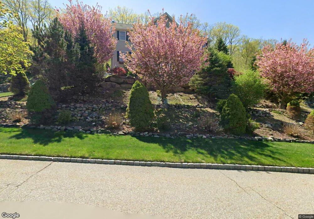
8 Meredith Ct Oak Ridge, NJ 07438
Estimated Value: $700,000 - $903,000
--
Bed
--
Bath
3,088
Sq Ft
$264/Sq Ft
Est. Value
About This Home
This home is located at 8 Meredith Ct, Oak Ridge, NJ 07438 and is currently estimated at $815,029, approximately $263 per square foot. 8 Meredith Ct is a home located in Morris County with nearby schools including Jefferson Township Middle School, Jefferson Township High School, and Alpine Montessori School - Oakridge.
Ownership History
Date
Name
Owned For
Owner Type
Purchase Details
Closed on
Apr 30, 2007
Sold by
Malit Ronald M and Malit Luz V
Bought by
Catogge Raymond C and Catogge Karen M
Current Estimated Value
Home Financials for this Owner
Home Financials are based on the most recent Mortgage that was taken out on this home.
Original Mortgage
$10,000
Outstanding Balance
$6,165
Interest Rate
6.24%
Mortgage Type
Credit Line Revolving
Estimated Equity
$808,864
Purchase Details
Closed on
Dec 6, 2002
Sold by
Arms Bellevue
Bought by
Malit Ronald and Malit Luz
Home Financials for this Owner
Home Financials are based on the most recent Mortgage that was taken out on this home.
Original Mortgage
$359,900
Interest Rate
6.08%
Create a Home Valuation Report for This Property
The Home Valuation Report is an in-depth analysis detailing your home's value as well as a comparison with similar homes in the area
Home Values in the Area
Average Home Value in this Area
Purchase History
| Date | Buyer | Sale Price | Title Company |
|---|---|---|---|
| Catogge Raymond C | $620,000 | First American Title Ins Co | |
| Malit Ronald | $459,900 | -- |
Source: Public Records
Mortgage History
| Date | Status | Borrower | Loan Amount |
|---|---|---|---|
| Open | Catogge Raymond C | $10,000 | |
| Previous Owner | Catogge Raymond C | $415,000 | |
| Previous Owner | Malit Ronald | $359,900 |
Source: Public Records
Tax History Compared to Growth
Tax History
| Year | Tax Paid | Tax Assessment Tax Assessment Total Assessment is a certain percentage of the fair market value that is determined by local assessors to be the total taxable value of land and additions on the property. | Land | Improvement |
|---|---|---|---|---|
| 2025 | $16,724 | $557,100 | $178,000 | $379,100 |
| 2024 | $16,301 | $557,100 | $178,000 | $379,100 |
| 2023 | $16,301 | $557,100 | $178,000 | $379,100 |
| 2022 | $15,565 | $557,100 | $178,000 | $379,100 |
| 2021 | $15,565 | $557,100 | $178,000 | $379,100 |
| 2020 | $15,304 | $557,100 | $178,000 | $379,100 |
| 2019 | $15,054 | $547,600 | $176,600 | $371,000 |
| 2018 | $14,721 | $528,000 | $171,200 | $356,800 |
| 2017 | $14,522 | $511,700 | $168,400 | $343,300 |
| 2016 | $13,835 | $514,500 | $168,400 | $346,100 |
| 2015 | $13,465 | $489,100 | $168,400 | $320,700 |
| 2014 | $13,318 | $489,100 | $168,400 | $320,700 |
Source: Public Records
Map
Nearby Homes
- 10 Stone Cliff Terrace
- 8 2nd Lt J T Wroblewski Ln
- 5 Skyler Ct
- 30 Sunset Rd
- 21 Moosepac Ln
- 32 Laurel Dr
- 25 Little Doe Run
- 30 Little Doe Run
- 75 Wildwood Rd
- 23 Patterson Dr
- 67 Wildwood Rd
- 7 Wildrose Rd
- 9 Old Woodland Trail
- 17 Old Woodland Trail
- 12 Pecan Ln
- 23 Oriole Rd
- 5 W Elro Dr
- 14 Red Oak Terrace
- 5659 Berkshire Valley Rd
- 7 Cozy Lake Rd