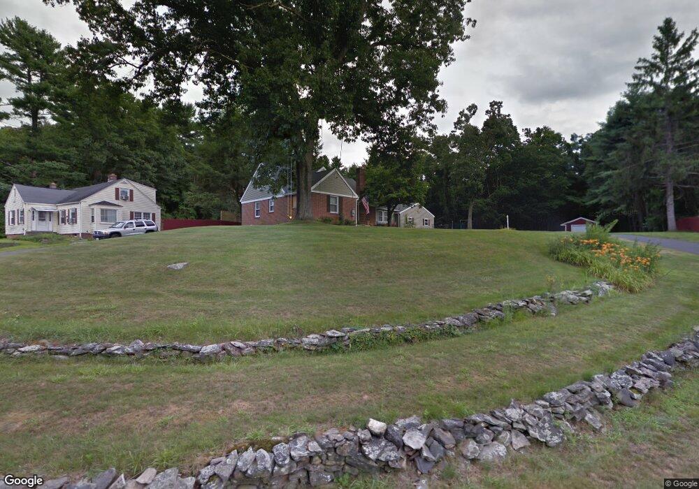
8 Merrill Rd Wilbraham, MA 01095
Estimated Value: $431,000 - $461,000
4
Beds
2
Baths
2,050
Sq Ft
$216/Sq Ft
Est. Value
About This Home
This home is located at 8 Merrill Rd, Wilbraham, MA 01095 and is currently estimated at $441,936, approximately $215 per square foot. 8 Merrill Rd is a home located in Hampden County with nearby schools including Minnechaug Regional High School and Wilbraham & Monson Academy.
Ownership History
Date
Name
Owned For
Owner Type
Purchase Details
Closed on
Nov 5, 2008
Sold by
Dusty Corp
Bought by
Wurm Brian P and Dennis-Wurm Margarita M
Current Estimated Value
Home Financials for this Owner
Home Financials are based on the most recent Mortgage that was taken out on this home.
Original Mortgage
$239,031
Outstanding Balance
$156,906
Interest Rate
6.08%
Mortgage Type
VA
Estimated Equity
$285,030
Purchase Details
Closed on
May 7, 2007
Sold by
Credit-Based Servicing
Bought by
217 Jamaica Street Rt and Dusty Corp
Create a Home Valuation Report for This Property
The Home Valuation Report is an in-depth analysis detailing your home's value as well as a comparison with similar homes in the area
Home Values in the Area
Average Home Value in this Area
Purchase History
| Date | Buyer | Sale Price | Title Company |
|---|---|---|---|
| Wurm Brian P | $234,000 | -- | |
| 217 Jamaica Street Rt | $120,000 | -- |
Source: Public Records
Mortgage History
| Date | Status | Borrower | Loan Amount |
|---|---|---|---|
| Open | Wurm Brian P | $239,031 |
Source: Public Records
Tax History Compared to Growth
Tax History
| Year | Tax Paid | Tax Assessment Tax Assessment Total Assessment is a certain percentage of the fair market value that is determined by local assessors to be the total taxable value of land and additions on the property. | Land | Improvement |
|---|---|---|---|---|
| 2025 | $6,389 | $357,300 | $78,500 | $278,800 |
| 2024 | $5,937 | $320,900 | $78,500 | $242,400 |
| 2023 | $5,870 | $301,200 | $78,500 | $222,700 |
| 2022 | $5,870 | $286,500 | $78,500 | $208,000 |
| 2021 | $5,088 | $221,600 | $80,200 | $141,400 |
| 2020 | $4,959 | $221,600 | $80,200 | $141,400 |
| 2019 | $4,831 | $221,600 | $80,200 | $141,400 |
| 2018 | $4,664 | $206,000 | $80,200 | $125,800 |
| 2017 | $4,532 | $206,000 | $80,200 | $125,800 |
| 2016 | $4,247 | $196,600 | $79,400 | $117,200 |
| 2015 | $4,105 | $196,600 | $79,400 | $117,200 |
Source: Public Records
Map
Nearby Homes
- 2 Vista Rd
- 54 High Pine Cir
- 79 High Pine Cir
- 69 High Pine Cir
- 35 Lake Dr
- 20 Old Orchard Rd
- 4 Hillcrest Dr
- 474-480 Mountain Rd
- 28 Decorie Dr
- 2 Bayberry Dr Unit 51
- 182 Mountain Rd
- 474 Mountain Rd
- 46 Washington Rd
- 8 Patriot Ridge Ln
- 6 Hilltop Park
- 12 Highridge Rd
- 88-90 Miller St
- 603 Glendale Rd
- 6 Teak Terrace Unit 24
- 19 Linwood Dr