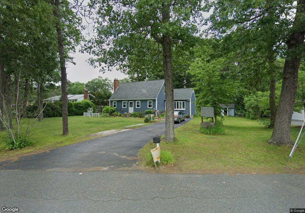
8 Montgomery Dr Millbury, MA 01527
Estimated Value: $465,299 - $509,000
2
Beds
2
Baths
1,294
Sq Ft
$372/Sq Ft
Est. Value
About This Home
This home is located at 8 Montgomery Dr, Millbury, MA 01527 and is currently estimated at $481,075, approximately $371 per square foot. 8 Montgomery Dr is a home located in Worcester County with nearby schools including Elmwood Street Elementary School, Raymond E. Shaw Elementary School, and Millbury Junior/Senior High School.
Ownership History
Date
Name
Owned For
Owner Type
Purchase Details
Closed on
Jul 29, 2002
Sold by
Missel Mark J and Missel Patricia L
Bought by
Sawyer Edward W and Sawyer Martha L
Current Estimated Value
Home Financials for this Owner
Home Financials are based on the most recent Mortgage that was taken out on this home.
Original Mortgage
$197,000
Interest Rate
6.73%
Mortgage Type
Purchase Money Mortgage
Create a Home Valuation Report for This Property
The Home Valuation Report is an in-depth analysis detailing your home's value as well as a comparison with similar homes in the area
Home Values in the Area
Average Home Value in this Area
Purchase History
| Date | Buyer | Sale Price | Title Company |
|---|---|---|---|
| Sawyer Edward W | $212,000 | -- | |
| Sawyer Edward W | $212,000 | -- |
Source: Public Records
Mortgage History
| Date | Status | Borrower | Loan Amount |
|---|---|---|---|
| Open | Sawyer Edward W | $171,500 | |
| Closed | Sawyer Edward W | $199,000 | |
| Closed | Sawyer Edward W | $197,000 |
Source: Public Records
Tax History Compared to Growth
Tax History
| Year | Tax Paid | Tax Assessment Tax Assessment Total Assessment is a certain percentage of the fair market value that is determined by local assessors to be the total taxable value of land and additions on the property. | Land | Improvement |
|---|---|---|---|---|
| 2025 | $5,120 | $382,400 | $123,700 | $258,700 |
| 2024 | $4,702 | $355,400 | $114,600 | $240,800 |
| 2023 | $4,063 | $281,200 | $80,200 | $201,000 |
| 2022 | $3,993 | $266,200 | $80,200 | $186,000 |
| 2021 | $3,922 | $254,200 | $80,200 | $174,000 |
| 2020 | $3,805 | $248,200 | $80,200 | $168,000 |
| 2019 | $3,872 | $244,300 | $79,800 | $164,500 |
| 2018 | $2,912 | $233,400 | $79,800 | $153,600 |
| 2017 | $3,442 | $209,500 | $79,800 | $129,700 |
| 2016 | $3,248 | $197,300 | $79,800 | $117,500 |
| 2015 | $3,223 | $195,800 | $81,300 | $114,500 |
| 2014 | $3,232 | $189,000 | $85,000 | $104,000 |
Source: Public Records
Map
Nearby Homes
- 90 Macarthur Dr
- 3 May St
- 86 Wheelock Ave
- 2 Diane St
- 11 Westview Ave
- 12 Irene Ct
- 1 Pineland Ave
- 12 Alstead Path
- 1 Broadmeadow Ave
- 123 Riverlin St
- 46 John Dr Unit 46
- 5 Edward Dr
- 64 Millbury Ave
- 28 Lincoln Ln
- 15 Rayburn Dr
- 21 Lordvale Blvd Unit 406
- 5 Lincoln Ln Unit 5
- 330 Millbury Ave
- 76 Samuel Dr
- 11 Maplewood Rd
- 6 Montgomery Dr
- 137 Macarthur Dr
- 4 Montgomery Dr
- 55 Macarthur Dr
- 11 Montgomery Dr
- 9 Montgomery Dr
- 53 Macarthur Dr
- 135 Macarthur Dr
- 61 Macarthur Dr
- 7 Montgomery Dr
- 49 Macarthur Dr
- 2 Montgomery Dr
- 67 Macarthur Dr
- 27 Rollie Shepard Dr
- 5 Montgomery Dr
- 131 Macarthur Dr
- 47 Macarthur Dr
- 69 Macarthur Dr
- 25 Rollie Shepard Dr
- 20 Rollie Shepard Dr