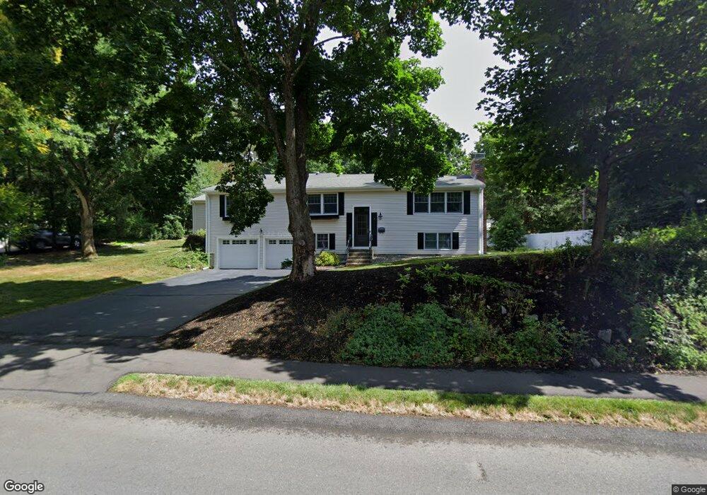
8 Morningside Ave Natick, MA 01760
Estimated Value: $993,000 - $1,292,000
4
Beds
3
Baths
2,374
Sq Ft
$486/Sq Ft
Est. Value
About This Home
This home is located at 8 Morningside Ave, Natick, MA 01760 and is currently estimated at $1,152,718, approximately $485 per square foot. 8 Morningside Ave is a home located in Middlesex County with nearby schools including Natick High School, Memorial Elementary School, and J F Kennedy Middle School.
Ownership History
Date
Name
Owned For
Owner Type
Purchase Details
Closed on
Jul 13, 2023
Sold by
Radin Michael J and Daniels Debra
Bought by
Ddmjr T T and Ddmjr Radin
Current Estimated Value
Purchase Details
Closed on
Aug 29, 1997
Sold by
Duffy-Bergstrom Susan
Bought by
Radin Ft
Purchase Details
Closed on
Jul 15, 1991
Sold by
Kosan Kosan Alan Alan and Kosan Diane
Bought by
Duffy-Bergstro Susan E
Create a Home Valuation Report for This Property
The Home Valuation Report is an in-depth analysis detailing your home's value as well as a comparison with similar homes in the area
Home Values in the Area
Average Home Value in this Area
Purchase History
| Date | Buyer | Sale Price | Title Company |
|---|---|---|---|
| Ddmjr T T | -- | None Available | |
| Radin Ft | $288,500 | -- | |
| Duffy-Bergstro Susan E | $203,000 | -- |
Source: Public Records
Mortgage History
| Date | Status | Borrower | Loan Amount |
|---|---|---|---|
| Previous Owner | Duffy-Bergstro Susan E | $410,000 | |
| Previous Owner | Duffy-Bergstro Susan E | $412,500 |
Source: Public Records
Tax History
| Year | Tax Paid | Tax Assessment Tax Assessment Total Assessment is a certain percentage of the fair market value that is determined by local assessors to be the total taxable value of land and additions on the property. | Land | Improvement |
|---|---|---|---|---|
| 2025 | $11,860 | $991,600 | $517,500 | $474,100 |
| 2024 | $11,388 | $928,900 | $488,900 | $440,000 |
| 2023 | $11,141 | $881,400 | $454,000 | $427,400 |
| 2022 | $10,637 | $797,400 | $408,800 | $388,600 |
| 2021 | $10,197 | $749,200 | $386,400 | $362,800 |
| 2020 | $9,968 | $732,400 | $369,600 | $362,800 |
| 2019 | $9,309 | $732,400 | $369,600 | $362,800 |
| 2018 | $9,543 | $731,300 | $352,800 | $378,500 |
| 2017 | $9,626 | $713,600 | $342,000 | $371,600 |
| 2016 | $9,637 | $710,200 | $342,000 | $368,200 |
| 2015 | $9,338 | $675,700 | $342,000 | $333,700 |
Source: Public Records
Map
Nearby Homes
- 81 Woodland St
- 14 Pinewood Ave
- 2 Arrow Path
- 16 Wayside Rd Unit 14
- 11 Avon St
- 216-218 S Main St
- 189 Eliot St
- 12 Floral Ave
- 211 Eliot St
- 6 Floral Avenue Extension
- 10 Lincoln St Unit 10
- 6 Hopewell Farm Rd
- 6A Lincoln St Unit 6A
- 11 Morgan Dr Unit 404
- 104 Eliot St
- 4B Lincoln St Unit 4B
- 3A Wilson St Unit 3A
- 7 Allison Way Unit 7
- 13 Morgan Dr Unit 109
- 67 E Central St & 5 Union St
- 6 Morningside Ave
- 10 Morningside Ave
- 5 Morningside Ave
- 7 Morningside Ave
- 3 Morningside Ave
- 9 Morningside Ave
- 12 Morningside Ave
- 4 Morningside Ave
- 59 Woodland St
- 11 Morningside Ave
- 1 Morningside Ave
- 14 Morningside Ave
- 14 Morningside Ave Unit 1
- 69 Woodland St
- 12 Deer Path
- 49 Woodland St
- 10 Deer Path
- 0 Harvest Moon Dr Unit Lot 27A 70786570
- 14 Deer Path
- 16 Morningside Ave
Your Personal Tour Guide
Ask me questions while you tour the home.