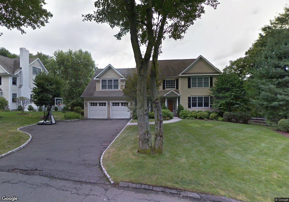
8 Mortar Rock Rd Westport, CT 06880
Compo NeighborhoodEstimated Value: $2,984,206 - $3,563,000
5
Beds
5
Baths
5,389
Sq Ft
$609/Sq Ft
Est. Value
About This Home
This home is located at 8 Mortar Rock Rd, Westport, CT 06880 and is currently estimated at $3,282,302, approximately $609 per square foot. 8 Mortar Rock Rd is a home located in Fairfield County with nearby schools including Saugatuck Elementary School, Bedford Middle School, and Staples High School.
Ownership History
Date
Name
Owned For
Owner Type
Purchase Details
Closed on
Dec 21, 2005
Sold by
Sir Mortar Rock 2 Llc
Bought by
Rosenkranz Jeffrey and Rosenkranz Lauren
Current Estimated Value
Home Financials for this Owner
Home Financials are based on the most recent Mortgage that was taken out on this home.
Original Mortgage
$1,199,999
Interest Rate
6.36%
Create a Home Valuation Report for This Property
The Home Valuation Report is an in-depth analysis detailing your home's value as well as a comparison with similar homes in the area
Home Values in the Area
Average Home Value in this Area
Purchase History
| Date | Buyer | Sale Price | Title Company |
|---|---|---|---|
| Rosenkranz Jeffrey | $2,000,000 | -- | |
| Rosenkranz Jeffrey | $2,000,000 | -- |
Source: Public Records
Mortgage History
| Date | Status | Borrower | Loan Amount |
|---|---|---|---|
| Open | Rosenkranz Jeffrey | $1,175,000 | |
| Closed | Rosenkranz Jeffrey | $1,199,999 |
Source: Public Records
Tax History Compared to Growth
Tax History
| Year | Tax Paid | Tax Assessment Tax Assessment Total Assessment is a certain percentage of the fair market value that is determined by local assessors to be the total taxable value of land and additions on the property. | Land | Improvement |
|---|---|---|---|---|
| 2025 | $22,098 | $1,171,700 | $414,600 | $757,100 |
| 2024 | $21,817 | $1,171,700 | $414,600 | $757,100 |
| 2023 | $21,501 | $1,171,700 | $414,600 | $757,100 |
| 2022 | $21,173 | $1,171,700 | $414,600 | $757,100 |
| 2021 | $11,782 | $1,171,700 | $414,600 | $757,100 |
| 2020 | $19,469 | $1,227,700 | $436,700 | $791,000 |
| 2019 | $6,881 | $1,227,700 | $436,700 | $791,000 |
| 2018 | $11,298 | $1,227,700 | $436,700 | $791,000 |
| 2017 | $6,575 | $1,227,700 | $436,700 | $791,000 |
| 2016 | $20,699 | $1,227,700 | $436,700 | $791,000 |
| 2015 | $21,272 | $1,175,900 | $341,400 | $834,500 |
| 2014 | $21,096 | $1,175,900 | $341,400 | $834,500 |
Source: Public Records
Map
Nearby Homes
- 171 & 169 Compo Rd S
- 5 Franklin Ave
- 3 Laurel Ln
- 23 Bridge St
- 102 Compo Rd S
- 6 Over Rock Ln
- 5A Sunrise Rd
- 33 Burnham Hill
- 39 Compo Pkwy
- 202 Bradley Ln Unit 202
- 109 Greens Farms Rd
- 26 Treadwell Ave
- 24 Edgemarth Hill Rd
- 61 Edgewater Commons Ln
- 11 Manitou Ct
- 11 Edgewater Hillside
- 42 Kings Hwy S
- 6 Stony Point Rd
- 21 Wright St
- 123 Greens Farms Rd
- 155B Compo Rd S
- 155B Compo Rd S
- 155B Compo Rd S Unit 1
- 155B Compo Rd S Unit 2
- 155B Compo Rd S Unit B
- 10 Mortar Rock Rd
- 159A Compo Rd S
- 159 Compo Rd S
- 157 Compo Rd S
- 7 Mortar Rock Rd
- 153 Compo Rd S
- 161 Compo Rd S
- 9 Mortar Rock Rd
- 151 Compo Rd S
- 12 Mortar Rock Rd
- 14 Mortar Rock Rd
- 163 Compo Rd S
- 11 Mortar Rock Rd
- 7 Valley Heights Rd
- 1 Ivanhoe Ln