8 Moses Rd Colebrook, CT 06021
Estimated Value: $525,000 - $659,000
3
Beds
3
Baths
2,568
Sq Ft
$232/Sq Ft
Est. Value
About This Home
This home is located at 8 Moses Rd, Colebrook, CT 06021 and is currently estimated at $595,814, approximately $232 per square foot. 8 Moses Rd is a home with nearby schools including Colebrook Consolidated School, Northwestern Regional Middle School, and Northwestern Regional High School.
Ownership History
Date
Name
Owned For
Owner Type
Purchase Details
Closed on
Jan 14, 2025
Sold by
Tillotson Robin G and Tillotson Alfred R
Bought by
Tillotson Alfred R
Current Estimated Value
Home Financials for this Owner
Home Financials are based on the most recent Mortgage that was taken out on this home.
Original Mortgage
$398,000
Outstanding Balance
$393,635
Interest Rate
6.6%
Mortgage Type
New Conventional
Estimated Equity
$202,179
Create a Home Valuation Report for This Property
The Home Valuation Report is an in-depth analysis detailing your home's value as well as a comparison with similar homes in the area
Home Values in the Area
Average Home Value in this Area
Purchase History
| Date | Buyer | Sale Price | Title Company |
|---|---|---|---|
| Tillotson Alfred R | -- | None Available | |
| Tillotson Alfred R | -- | None Available |
Source: Public Records
Mortgage History
| Date | Status | Borrower | Loan Amount |
|---|---|---|---|
| Open | Tillotson Alfred R | $398,000 | |
| Closed | Tillotson Alfred R | $398,000 |
Source: Public Records
Tax History
| Year | Tax Paid | Tax Assessment Tax Assessment Total Assessment is a certain percentage of the fair market value that is determined by local assessors to be the total taxable value of land and additions on the property. | Land | Improvement |
|---|---|---|---|---|
| 2025 | $9,295 | $275,810 | $70,810 | $205,000 |
| 2024 | $8,826 | $275,810 | $70,810 | $205,000 |
| 2023 | $9,157 | $275,810 | $70,810 | $205,000 |
| 2022 | $8,895 | $275,810 | $70,810 | $205,000 |
| 2021 | $8,523 | $275,810 | $70,810 | $205,000 |
| 2020 | $8,179 | $264,700 | $63,300 | $201,400 |
| 2019 | $8,151 | $263,800 | $63,300 | $200,500 |
| 2018 | $8,151 | $263,800 | $63,300 | $200,500 |
| 2017 | $8,151 | $263,800 | $63,300 | $200,500 |
| 2016 | $7,729 | $263,800 | $63,300 | $200,500 |
| 2015 | $7,659 | $275,500 | $65,600 | $209,900 |
| 2014 | $7,659 | $275,500 | $65,600 | $209,900 |
Source: Public Records
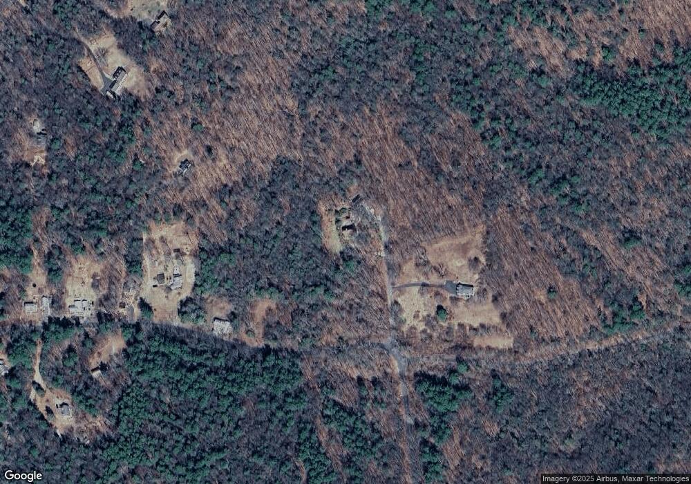
Map
Nearby Homes
- 425 Colebrook River Rd
- 11 Shantry Rd
- 0 Prock Hill Rd
- 50 Pine Rd
- 19 Roberts Rd
- 82 Riverton Rd
- 1282 Burt Hill Rd
- 186 Mill St
- 266 Old Forge Rd
- 106A Pinney St
- 208 Old Forge Rd
- 0 Old Robertsville Rd
- 115 Old Robertsville Rd
- 14 Roosterville Rd
- 153 Owls Nest Ln
- 200 Fox Den Rd
- 0 Winsted Norfolk Rd Unit 24089254
- 256 Colebrook Rd
- 00 Ramsgate Ln
- 6 Path Rd
- 5 Moses Rd
- 132 Beech Hill Rd
- 132 Beech Hill Rd
- 130 Beech Hill Rd
- 16 Chapin Rd
- 18 Chapin Rd
- 124 Beech Hill Rd
- 20 Chapin Rd
- 124A Beech Hill Rd
- 122 Beech Hill Rd
- 22 Chapin Rd
- 24 Chapin Rd
- 119 Beech Hill Rd
- 120 Beech Hill Rd
- 32 Simons Pond Rd
- 28 Simons Pond Rd
- 113 Beech Hill Rd
- 32 Chapin Rd
- 116 Beech Hill Rd
- 110 Beech Hill Rd
Your Personal Tour Guide
Ask me questions while you tour the home.