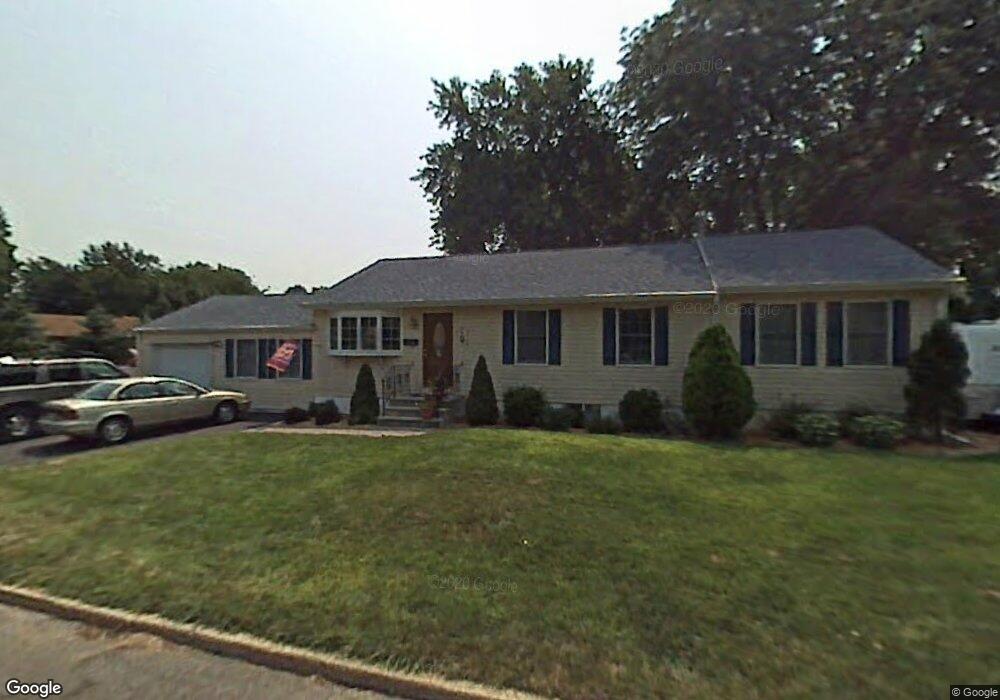
8 N Carrie Dr Hazlet, NJ 07730
Estimated Value: $578,000 - $648,199
4
Beds
3
Baths
1,531
Sq Ft
$400/Sq Ft
Est. Value
About This Home
This home is located at 8 N Carrie Dr, Hazlet, NJ 07730 and is currently estimated at $613,050, approximately $400 per square foot. 8 N Carrie Dr is a home located in Monmouth County with nearby schools including Raritan High School, Baytul-Iman Academy, and St. Ann School.
Ownership History
Date
Name
Owned For
Owner Type
Purchase Details
Closed on
Jul 9, 1986
Bought by
Newcomb Bradley A and Newcomb Carol G
Current Estimated Value
Create a Home Valuation Report for This Property
The Home Valuation Report is an in-depth analysis detailing your home's value as well as a comparison with similar homes in the area
Home Values in the Area
Average Home Value in this Area
Purchase History
| Date | Buyer | Sale Price | Title Company |
|---|---|---|---|
| Newcomb Bradley A | $119,900 | -- |
Source: Public Records
Tax History Compared to Growth
Tax History
| Year | Tax Paid | Tax Assessment Tax Assessment Total Assessment is a certain percentage of the fair market value that is determined by local assessors to be the total taxable value of land and additions on the property. | Land | Improvement |
|---|---|---|---|---|
| 2025 | $10,969 | $574,600 | $349,200 | $225,400 |
| 2024 | $10,721 | $521,600 | $297,200 | $224,400 |
| 2023 | $10,721 | $501,700 | $279,200 | $222,500 |
| 2022 | $9,898 | $426,300 | $232,200 | $194,100 |
| 2021 | $9,898 | $385,900 | $213,200 | $172,700 |
| 2020 | $9,672 | $374,600 | $208,200 | $166,400 |
| 2019 | $9,406 | $358,600 | $193,200 | $165,400 |
| 2018 | $9,149 | $345,900 | $188,200 | $157,700 |
| 2017 | $8,652 | $327,100 | $174,200 | $152,900 |
| 2016 | $8,519 | $323,300 | $174,200 | $149,100 |
| 2015 | $8,262 | $314,400 | $169,200 | $145,200 |
| 2014 | $7,613 | $271,700 | $133,200 | $138,500 |
Source: Public Records
Map
Nearby Homes
- 3 Lisa Dr
- 484 S Laurel Ave
- 9 Borick Ave
- 17 Gary Ave
- 19 Woody Terrace
- 26 Gary Ave Unit 59
- 16 Gary Ave Unit 49
- 37 Randall Ave Unit 70
- 35 Randall Ave Unit 68
- 37 Randall Ave
- 10 Robin
- 46 Randall Ave
- 30 Randall Ave Unit 63
- 32 Randall Ave Unit 65
- 34 Randall Ave Unit 67
- 1 Robin Rd
- 8 Leocadia Ct
- 5 Justin Ct Unit 96
- 5 Justin Ct
- 27 Gibson Dr