Estimated Value: $1,967,793
--
Bed
--
Bath
10,000
Sq Ft
$197/Sq Ft
Est. Value
About This Home
This home is located at 8 NeMcO Way, Ayer, MA 01432 and is currently estimated at $1,967,793, approximately $196 per square foot. 8 NeMcO Way is a home located in Middlesex County with nearby schools including Page Hilltop School, Lura A. White Elementary School, and Ayer Shirley Regional Middle School.
Ownership History
Date
Name
Owned For
Owner Type
Purchase Details
Closed on
Aug 20, 2018
Sold by
8 Nemco Way Llc
Bought by
Nemco Way Ayer Llc
Current Estimated Value
Home Financials for this Owner
Home Financials are based on the most recent Mortgage that was taken out on this home.
Original Mortgage
$974,000
Outstanding Balance
$845,880
Interest Rate
4.5%
Mortgage Type
Unknown
Estimated Equity
$1,121,913
Purchase Details
Closed on
May 9, 2013
Sold by
Optometrics Holdings L
Bought by
8 Nemco Way Llc
Home Financials for this Owner
Home Financials are based on the most recent Mortgage that was taken out on this home.
Original Mortgage
$500,000
Interest Rate
3.6%
Mortgage Type
Commercial
Create a Home Valuation Report for This Property
The Home Valuation Report is an in-depth analysis detailing your home's value as well as a comparison with similar homes in the area
Home Values in the Area
Average Home Value in this Area
Purchase History
| Date | Buyer | Sale Price | Title Company |
|---|---|---|---|
| Nemco Way Ayer Llc | $1,217,500 | -- | |
| 8 Nemco Way Llc | $650,000 | -- |
Source: Public Records
Mortgage History
| Date | Status | Borrower | Loan Amount |
|---|---|---|---|
| Open | Nemco Way Ayer Llc | $974,000 | |
| Previous Owner | 8 Nemco Way Llc | $500,000 |
Source: Public Records
Tax History Compared to Growth
Tax History
| Year | Tax Paid | Tax Assessment Tax Assessment Total Assessment is a certain percentage of the fair market value that is determined by local assessors to be the total taxable value of land and additions on the property. | Land | Improvement |
|---|---|---|---|---|
| 2025 | $35,452 | $1,407,400 | $193,700 | $1,213,700 |
| 2024 | $35,208 | $1,285,900 | $163,100 | $1,122,800 |
| 2023 | $33,849 | $1,233,100 | $154,100 | $1,079,000 |
| 2022 | $32,635 | $1,154,000 | $154,100 | $999,900 |
| 2021 | $33,096 | $1,134,600 | $141,500 | $993,100 |
| 2020 | $6,263 | $1,134,600 | $141,500 | $993,100 |
| 2019 | $25,128 | $872,500 | $134,700 | $737,800 |
| 2018 | $21,750 | $701,600 | $134,700 | $566,900 |
| 2017 | $21,044 | $686,800 | $134,700 | $552,100 |
| 2016 | $19,727 | $638,000 | $127,700 | $510,300 |
| 2015 | $19,121 | $638,000 | $127,700 | $510,300 |
| 2014 | $18,215 | $638,000 | $127,700 | $510,300 |
Source: Public Records
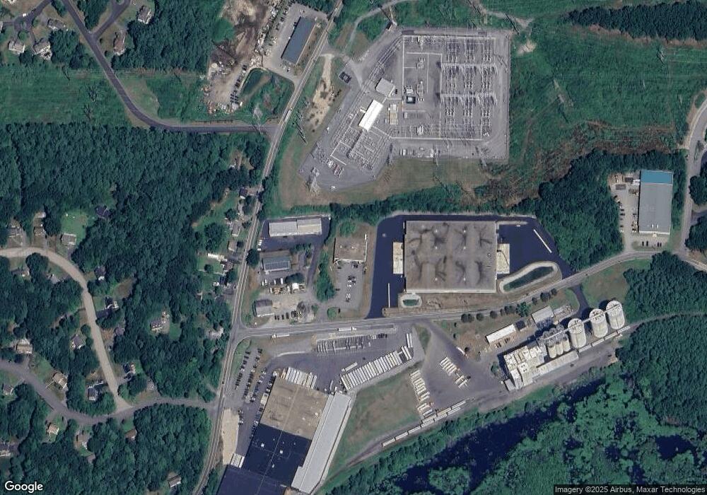
Map
Nearby Homes
- 8 Mulberry Cir
- 4 Spectacle Pond Rd
- 95 Hummingbird Ln Unit 22
- 239 Ayer Rd Unit 16
- 35 Oxbow Ln
- 23 Hemlock Dr
- 36 Whitetail Way
- Lot 7 Noble Path
- Lot 6 Noble Path
- 0 Ayer Rd
- 75 Sandy Pond Rd Unit 44
- 75 Sandy Pond Rd Unit 7
- 222 Forge Village Rd
- 82 Littleton Rd
- 11 (Lt 45) Darrell Dr
- 9 (Lt 44) Darrell Dr
- 38 Pine Ridge Dr
- 17 Chestnut Ln
- 6 Little Hollow Ln
- 72 Dale Ln
- 8 Bryan Way
- 8 Bryan Way Unit 2
- 3 NeMcO Way
- 58 Westford Rd
- 56 Westford Rd
- 54 Westford Rd
- 60 Westford Rd
- 52 Westford Rd
- 50 Westford Rd
- 62 Westford Rd
- 46 Westford Rd
- 46 Westford Rd Unit house
- 48 Westford Rd
- 44 Westford Rd
- 66 Wesford Rd
- 1 Mulberry Cir
- 5 Mulberry Cir
- 7 Mulberry Cir
- 7 Mulberry Cir Unit 7
- 3 Mulberry Cir