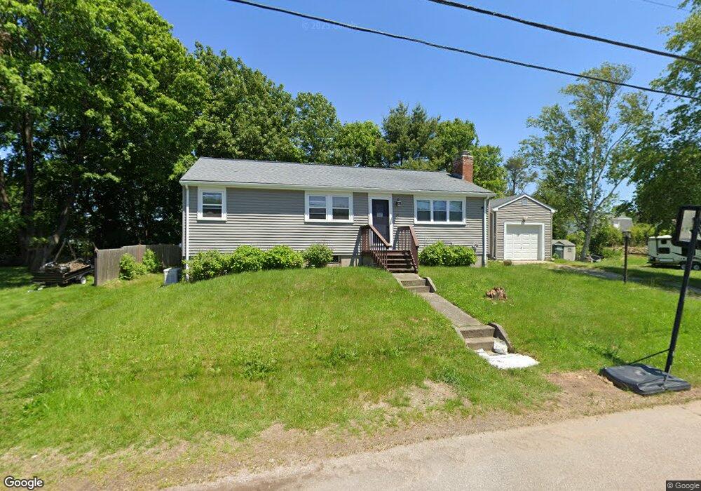
8 Nichols Ln Westerly, RI 02891
Estimated Value: $427,242 - $498,000
2
Beds
2
Baths
1,113
Sq Ft
$416/Sq Ft
Est. Value
About This Home
This home is located at 8 Nichols Ln, Westerly, RI 02891 and is currently estimated at $462,561, approximately $415 per square foot. 8 Nichols Ln is a home located in Washington County with nearby schools including Westerly High School, North Stonington Christian Academy, and St. Michael School.
Ownership History
Date
Name
Owned For
Owner Type
Purchase Details
Closed on
Nov 7, 2014
Sold by
Tough Anita M and Tough David E
Bought by
Tough Anita M
Current Estimated Value
Purchase Details
Closed on
Jun 14, 1993
Sold by
Best James J
Bought by
Tough David E and Tough Anita M
Home Financials for this Owner
Home Financials are based on the most recent Mortgage that was taken out on this home.
Original Mortgage
$112,424
Interest Rate
7.41%
Create a Home Valuation Report for This Property
The Home Valuation Report is an in-depth analysis detailing your home's value as well as a comparison with similar homes in the area
Home Values in the Area
Average Home Value in this Area
Purchase History
| Date | Buyer | Sale Price | Title Company |
|---|---|---|---|
| Tough Anita M | -- | -- | |
| Tough David E | $113,000 | -- |
Source: Public Records
Mortgage History
| Date | Status | Borrower | Loan Amount |
|---|---|---|---|
| Open | Tough David E | $177,300 | |
| Previous Owner | Tough David E | $200,000 | |
| Previous Owner | Tough David E | $128,700 | |
| Previous Owner | Tough David E | $112,424 |
Source: Public Records
Tax History
| Year | Tax Paid | Tax Assessment Tax Assessment Total Assessment is a certain percentage of the fair market value that is determined by local assessors to be the total taxable value of land and additions on the property. | Land | Improvement |
|---|---|---|---|---|
| 2025 | $2,779 | $357,200 | $164,700 | $192,500 |
| 2024 | $2,645 | $253,100 | $117,600 | $135,500 |
| 2023 | $2,571 | $253,100 | $117,600 | $135,500 |
| 2022 | $2,556 | $253,100 | $117,600 | $135,500 |
| 2021 | $2,248 | $186,400 | $102,300 | $84,100 |
| 2020 | $2,209 | $186,400 | $102,300 | $84,100 |
| 2019 | $2,188 | $186,400 | $102,300 | $84,100 |
| 2018 | $2,154 | $174,400 | $102,300 | $72,100 |
| 2017 | $2,093 | $174,400 | $102,300 | $72,100 |
| 2016 | $2,093 | $174,400 | $102,300 | $72,100 |
| 2015 | $1,970 | $175,400 | $104,400 | $71,000 |
| 2014 | $1,938 | $175,400 | $104,400 | $71,000 |
Source: Public Records
Map
Nearby Homes
Your Personal Tour Guide
Ask me questions while you tour the home.