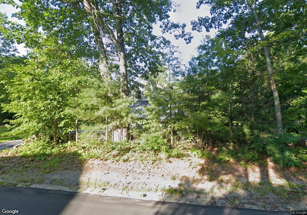
8 North Rd Bridgton, ME 04009
Estimated Value: $346,447 - $412,000
--
Bed
--
Bath
912
Sq Ft
$405/Sq Ft
Est. Value
About This Home
This home is located at 8 North Rd, Bridgton, ME 04009 and is currently estimated at $369,112, approximately $404 per square foot. 8 North Rd is a home located in Cumberland County with nearby schools including Lake Region High School.
Ownership History
Date
Name
Owned For
Owner Type
Purchase Details
Closed on
Oct 10, 2019
Sold by
Martel William K
Bought by
Crosby Gregory L and Crosby Vicki L
Current Estimated Value
Purchase Details
Closed on
Dec 8, 2016
Sold by
Crosby Gregory L and Crosby Vicki L
Bought by
Audo Robert K and Audo Gretchen J
Home Financials for this Owner
Home Financials are based on the most recent Mortgage that was taken out on this home.
Original Mortgage
$50,000
Interest Rate
3.47%
Mortgage Type
New Conventional
Purchase Details
Closed on
Mar 18, 2013
Sold by
Schiavi Homes Llc
Bought by
Colasanti Anita L and Colasanti Gary J
Purchase Details
Closed on
Mar 15, 2011
Sold by
Crosby Greg L and Crosby Vicki L
Bought by
Norway Cong Of Jehovah
Create a Home Valuation Report for This Property
The Home Valuation Report is an in-depth analysis detailing your home's value as well as a comparison with similar homes in the area
Home Values in the Area
Average Home Value in this Area
Purchase History
| Date | Buyer | Sale Price | Title Company |
|---|---|---|---|
| Crosby Gregory L | -- | -- | |
| Audo Robert K | -- | -- | |
| Colasanti Anita L | -- | -- | |
| Norway Cong Of Jehovah | -- | -- |
Source: Public Records
Mortgage History
| Date | Status | Borrower | Loan Amount |
|---|---|---|---|
| Previous Owner | Audo Robert K | $50,000 |
Source: Public Records
Tax History Compared to Growth
Tax History
| Year | Tax Paid | Tax Assessment Tax Assessment Total Assessment is a certain percentage of the fair market value that is determined by local assessors to be the total taxable value of land and additions on the property. | Land | Improvement |
|---|---|---|---|---|
| 2024 | $2,477 | $145,287 | $38,060 | $107,227 |
| 2023 | $2,499 | $145,287 | $38,060 | $107,227 |
| 2022 | $2,208 | $145,287 | $38,060 | $107,227 |
| 2021 | $2,150 | $145,287 | $38,060 | $107,227 |
| 2020 | $4,687 | $145,287 | $38,060 | $107,227 |
| 2019 | $2,179 | $145,287 | $38,060 | $107,227 |
| 2018 | $4,264 | $145,287 | $38,060 | $107,227 |
| 2017 | $2,223 | $145,287 | $38,060 | $107,227 |
| 2016 | $2,158 | $145,287 | $38,060 | $107,227 |
| 2015 | -- | $157,315 | $49,060 | $108,255 |
| 2014 | $2,212 | $157,315 | $49,060 | $108,255 |
Source: Public Records
Map
Nearby Homes
- 120 North Rd
- 161 Swamp Rd
- Lot 3 Wildwood Rd
- Lot 2 North Rd
- 12 Gabardi Ln
- Lot 23 - D Smally Way
- Lot 23 - F Smally Way
- Lot 23 G Smally Way
- 3 A St
- 0 Tuttle Ln Unit 1628227
- 220 S High St
- 4 C St
- 8 Evans Hill Dr
- 0 Hio Ridge Rd Unit 1637364
- 013-040 Hio Ridge Rd
- 236 Portland Rd Unit A
- 86 Beaver Creek Farm Rd
- 209 Portland Rd
- 64-74 Portland Rd
- 323 Portland Rd