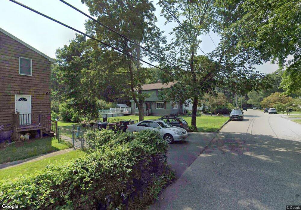
8 Oakdale Rd Wilmington, MA 01887
North Wilmington NeighborhoodEstimated Value: $704,000 - $794,000
3
Beds
1
Bath
1,872
Sq Ft
$396/Sq Ft
Est. Value
About This Home
This home is located at 8 Oakdale Rd, Wilmington, MA 01887 and is currently estimated at $740,778, approximately $395 per square foot. 8 Oakdale Rd is a home located in Middlesex County with nearby schools including Wilmington Middle School, Wilmington High School, and Abundant Life Christian School and Childcare.
Ownership History
Date
Name
Owned For
Owner Type
Purchase Details
Closed on
Dec 23, 1993
Sold by
Poloian Ralph S and Poloian Elizabeth
Bought by
Harper William R
Current Estimated Value
Home Financials for this Owner
Home Financials are based on the most recent Mortgage that was taken out on this home.
Original Mortgage
$105,000
Interest Rate
7%
Mortgage Type
Purchase Money Mortgage
Create a Home Valuation Report for This Property
The Home Valuation Report is an in-depth analysis detailing your home's value as well as a comparison with similar homes in the area
Home Values in the Area
Average Home Value in this Area
Purchase History
| Date | Buyer | Sale Price | Title Company |
|---|---|---|---|
| Harper William R | $161,500 | -- |
Source: Public Records
Mortgage History
| Date | Status | Borrower | Loan Amount |
|---|---|---|---|
| Open | Harper William R | $143,000 | |
| Closed | Harper William R | $150,000 | |
| Closed | Harper William R | $105,000 | |
| Previous Owner | Harper William R | $131,000 |
Source: Public Records
Tax History Compared to Growth
Tax History
| Year | Tax Paid | Tax Assessment Tax Assessment Total Assessment is a certain percentage of the fair market value that is determined by local assessors to be the total taxable value of land and additions on the property. | Land | Improvement |
|---|---|---|---|---|
| 2025 | $7,055 | $616,200 | $299,800 | $316,400 |
| 2024 | $7,069 | $618,500 | $299,800 | $318,700 |
| 2023 | $6,631 | $555,400 | $272,500 | $282,900 |
| 2022 | $6,231 | $478,200 | $227,000 | $251,200 |
| 2021 | $6,156 | $444,800 | $206,400 | $238,400 |
| 2020 | $6,114 | $450,200 | $206,400 | $243,800 |
| 2019 | $5,929 | $431,200 | $196,600 | $234,600 |
| 2018 | $5,813 | $403,400 | $187,200 | $216,200 |
| 2017 | $5,634 | $389,900 | $178,300 | $211,600 |
| 2016 | $5,292 | $361,700 | $169,800 | $191,900 |
| 2015 | $5,110 | $355,600 | $169,800 | $185,800 |
| 2014 | $4,776 | $335,400 | $161,700 | $173,700 |
Source: Public Records
Map
Nearby Homes
- 6 Oakdale Rd
- 9 Oakdale Rd
- 7 Oakdale Rd
- 4 Oakdale Rd
- 5 Oakdale Rd
- 25 Shady Lane Dr
- 23 Shady Lane Dr
- 27 Shady Lane Dr
- 21 Shady Lane Dr
- 8 Birchwood Rd
- 6 Birchwood Rd
- 26 Shady Lane Dr
- 24 Shady Lane Dr
- 4 Birchwood Rd
- 2R Oakdale Rd
- 10 Birchwood Rd
- 19 Shady Lane Dr
- 22 Shady Lane Dr
- 2 Birchwood Rd
- 7 Birchwood Rd