8 Oliver Ln Westport, MA 02790
Estimated Value: $547,000 - $616,000
3
Beds
--
Bath
2,030
Sq Ft
$289/Sq Ft
Est. Value
About This Home
This home is located at 8 Oliver Ln, Westport, MA 02790 and is currently estimated at $587,681, approximately $289 per square foot. 8 Oliver Ln is a home with nearby schools including Alice A. Macomber Primary School, Westport Elementary School, and Westport Middle-High School.
Ownership History
Date
Name
Owned For
Owner Type
Purchase Details
Closed on
Nov 1, 2012
Sold by
Ponte Nancy
Bought by
Diogo Carlos T and Diogo Margaret A
Current Estimated Value
Home Financials for this Owner
Home Financials are based on the most recent Mortgage that was taken out on this home.
Original Mortgage
$243,280
Outstanding Balance
$168,984
Interest Rate
3.5%
Mortgage Type
New Conventional
Estimated Equity
$418,697
Create a Home Valuation Report for This Property
The Home Valuation Report is an in-depth analysis detailing your home's value as well as a comparison with similar homes in the area
Home Values in the Area
Average Home Value in this Area
Purchase History
| Date | Buyer | Sale Price | Title Company |
|---|---|---|---|
| Diogo Carlos T | $122,000 | -- |
Source: Public Records
Mortgage History
| Date | Status | Borrower | Loan Amount |
|---|---|---|---|
| Open | Diogo Carlos T | $243,280 |
Source: Public Records
Tax History Compared to Growth
Tax History
| Year | Tax Paid | Tax Assessment Tax Assessment Total Assessment is a certain percentage of the fair market value that is determined by local assessors to be the total taxable value of land and additions on the property. | Land | Improvement |
|---|---|---|---|---|
| 2025 | $3,431 | $460,500 | $109,100 | $351,400 |
| 2024 | $3,431 | $443,900 | $101,100 | $342,800 |
| 2023 | $3,394 | $415,900 | $96,300 | $319,600 |
| 2022 | $3,219 | $377,700 | $96,300 | $281,400 |
| 2021 | $3,219 | $373,400 | $87,500 | $285,900 |
| 2020 | $3,118 | $369,900 | $84,000 | $285,900 |
| 2019 | $2,856 | $345,400 | $84,000 | $261,400 |
| 2018 | $2,865 | $350,700 | $91,300 | $259,400 |
| 2017 | $2,847 | $357,200 | $97,500 | $259,700 |
| 2016 | $2,560 | $323,600 | $92,500 | $231,100 |
| 2015 | $2,605 | $328,500 | $106,300 | $222,200 |
Source: Public Records
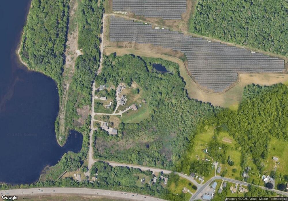
Map
Nearby Homes
- 128 Old Bedford Rd
- 125 Angell St
- 34 Alsop St
- 33 William St
- 25 Beaulieu St
- 6 Beaulieu St
- 219 Earle St Unit 3
- 217 Earle St Unit 2
- 215 Earle St Unit 1
- 85 Reney St
- 37 Eaton St
- 172 Earle St
- 89 Lafayette St
- 1792 Pleasant St Unit 1808
- 9 Register Ave
- 10 Choate St
- 31 Choate St
- 529 Eastern Ave
- 383 Alden St
- 3 Diane Way
- 12 Oliver Ln
- 55 Adirondack Ln
- 55 Adirondack Ln Unit House
- 45 Adirondack Ln
- 63 Adirondack Ln
- 0 Frontage St
- 34 Frontage St
- 17 Adirondack Ln
- 24 Frontage St Unit 1 South
- 24 Frontage St Unit 1 North
- 24 Frontage St
- 24-28 Frontage Rd
- 148 Old Bedford Rd Unit 150
- 140 Old Bedford Rd
- 10 Adirondack Ln
- Lot 31A Frontage St
- 85 Old Bedford Rd
- 93 Old Bedford Rd
- 75 Old Bedford Rd
- 155 Old Bedford Rd