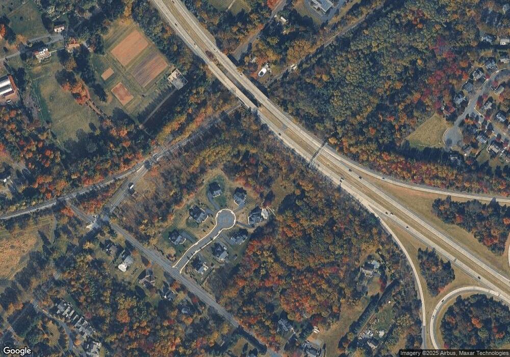
8 Oxford Ln Doylestown, PA 18901
Estimated Value: $825,000 - $1,309,000
4
Beds
4
Baths
3,354
Sq Ft
$304/Sq Ft
Est. Value
About This Home
This home is located at 8 Oxford Ln, Doylestown, PA 18901 and is currently estimated at $1,020,966, approximately $304 per square foot. 8 Oxford Ln is a home located in Bucks County with nearby schools including Kutz Elementary School, Lenape Middle School, and Central Bucks High School-West.
Ownership History
Date
Name
Owned For
Owner Type
Purchase Details
Closed on
Aug 11, 2021
Sold by
Oxford Property Investments Llc
Bought by
Mcelligott Sean and Mcelligott Jill
Current Estimated Value
Home Financials for this Owner
Home Financials are based on the most recent Mortgage that was taken out on this home.
Original Mortgage
$450,000
Outstanding Balance
$409,189
Interest Rate
2.9%
Mortgage Type
New Conventional
Estimated Equity
$611,777
Purchase Details
Closed on
Jun 27, 2018
Sold by
Quinlan Bryan D and Quinlan Karen E
Bought by
Oxford Proeprty Investmetns Llc
Purchase Details
Closed on
Nov 16, 1984
Sold by
Mattson Joseph J
Bought by
Quinlan Bryan D and Quinlan Karen E
Create a Home Valuation Report for This Property
The Home Valuation Report is an in-depth analysis detailing your home's value as well as a comparison with similar homes in the area
Home Values in the Area
Average Home Value in this Area
Purchase History
| Date | Buyer | Sale Price | Title Company |
|---|---|---|---|
| Mcelligott Sean | $819,800 | Land Services Usa Inc | |
| Oxford Proeprty Investmetns Llc | $1,003,275 | None Available | |
| Quinlan Bryan D | $139,000 | -- |
Source: Public Records
Mortgage History
| Date | Status | Borrower | Loan Amount |
|---|---|---|---|
| Open | Mcelligott Sean | $450,000 |
Source: Public Records
Tax History Compared to Growth
Tax History
| Year | Tax Paid | Tax Assessment Tax Assessment Total Assessment is a certain percentage of the fair market value that is determined by local assessors to be the total taxable value of land and additions on the property. | Land | Improvement |
|---|---|---|---|---|
| 2025 | $12,138 | $68,590 | $3,820 | $64,770 |
| 2024 | $12,138 | $68,590 | $3,820 | $64,770 |
| 2023 | $11,574 | $68,590 | $3,820 | $64,770 |
| 2022 | $11,445 | $68,590 | $3,820 | $64,770 |
| 2021 | $624 | $3,820 | $3,820 | $0 |
| 2020 | $621 | $3,820 | $3,820 | $0 |
| 2019 | $615 | $3,820 | $3,820 | $0 |
| 2018 | $0 | $0 | $0 | $0 |
| 2017 | $1,696 | $0 | $0 | $0 |
| 2016 | $1,696 | $10,720 | $10,720 | $0 |
| 2015 | -- | $10,720 | $10,720 | $0 |
| 2014 | -- | $10,720 | $10,720 | $0 |
Source: Public Records
Map
Nearby Homes
- 9 Mill Creek Dr
- 114 Progress Dr
- 137 Wells Rd
- 422 Fordhook Rd
- 450 Ford Hook Rd
- 432 Ford Hook Rd
- 259 W Ashland St
- 197 Spring Ln
- 195 Lafayette St
- 222 Windsor Way
- 250 Wooded Dr
- 121 Conestoga Dr
- 218 Vaux Dr
- 82 Avalon Ct Unit 2005
- 84 Iron Hill Rd
- 403 S Main St Unit S201
- 200 N Shady Retreat Rd
- 78 Tower Hill Rd
- 215 N Franklin St
- 37 N Clinton St
- 7 Oxford Ln
- 6 Oxford Ln
- 300 New Britain Rd Unit GLADWY
- 300 New Britain Rd Unit CHELSE
- 300 New Britain Rd
- 5 Oxford Ln
- 4 Oxford Ln
- 3 Oxford Ln
- 2 Oxford Ln
- 1 Oxford Ln
- 1 Oxford Ln
- 1 Oxford Ln
- 2305 Lower State Rd
- 2225 Lower State Rd
- 213 New Britain Rd
- 209 New Britain Rd
- 2321 Lower State Rd
- 354 New Britain Rd
- 215 New Britain Rd
- 205 New Britain Rd
