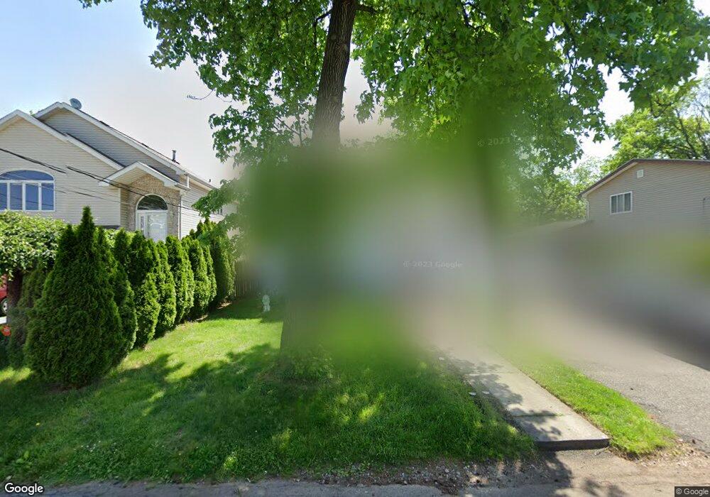
8 Pallant Ave Linden, NJ 07036
Estimated Value: $655,000
3
Beds
1
Bath
1,988
Sq Ft
$329/Sq Ft
Est. Value
About This Home
This home is located at 8 Pallant Ave, Linden, NJ 07036 and is currently estimated at $655,000, approximately $329 per square foot. 8 Pallant Ave is a home located in Union County with nearby schools including Number 10, Myles J. McManus Middle School, and Linden High School.
Ownership History
Date
Name
Owned For
Owner Type
Purchase Details
Closed on
Oct 26, 2016
Current Estimated Value
Purchase Details
Closed on
Jul 16, 2015
Home Financials for this Owner
Home Financials are based on the most recent Mortgage that was taken out on this home.
Original Mortgage
$277,472
Interest Rate
4.75%
Mortgage Type
FHA
Purchase Details
Closed on
Oct 22, 1997
Sold by
Nelson Bessie and Eberhardt Bess
Create a Home Valuation Report for This Property
The Home Valuation Report is an in-depth analysis detailing your home's value as well as a comparison with similar homes in the area
Home Values in the Area
Average Home Value in this Area
Purchase History
| Date | Buyer | Sale Price | Title Company |
|---|---|---|---|
| -- | -- | -- | |
| -- | -- | Spring Valley Title Agency | |
| -- | $115,000 | -- |
Source: Public Records
Mortgage History
| Date | Status | Borrower | Loan Amount |
|---|---|---|---|
| Previous Owner | -- | $277,472 |
Source: Public Records
Tax History Compared to Growth
Tax History
| Year | Tax Paid | Tax Assessment Tax Assessment Total Assessment is a certain percentage of the fair market value that is determined by local assessors to be the total taxable value of land and additions on the property. | Land | Improvement |
|---|---|---|---|---|
| 2025 | $9,395 | $133,600 | $62,500 | $71,100 |
| 2024 | $9,189 | $133,600 | $62,500 | $71,100 |
| 2023 | $9,189 | $133,600 | $62,500 | $71,100 |
| 2022 | $9,237 | $133,600 | $62,500 | $71,100 |
| 2021 | $9,284 | $133,600 | $62,500 | $71,100 |
| 2020 | $9,234 | $133,600 | $62,500 | $71,100 |
| 2019 | $9,204 | $133,600 | $62,500 | $71,100 |
| 2018 | $9,201 | $133,600 | $62,500 | $71,100 |
| 2017 | $9,002 | $133,600 | $62,500 | $71,100 |
| 2016 | $8,719 | $133,600 | $62,500 | $71,100 |
| 2015 | $8,386 | $133,600 | $62,500 | $71,100 |
| 2014 | $8,223 | $133,600 | $62,500 | $71,100 |
Source: Public Records
Map
Nearby Homes
- 2513 N Wood Ave
- 113 Raritan Rd
- 74 Raritan Rd
- 63 Elmwood Terrace
- 38 Pallant Ave
- 123 Robbinwood Terrace
- 53 Pallant Ave
- 112 Melrose Terrace
- 333 Livingston Rd
- 540 W 7th Ave
- 57 Berlant Ave
- 538 Dietz St
- 46 Palisade Rd
- 221 Douglas Rd
- 1715 Orchard Terrace
- 1718 Summit Terrace
- 1605 Wood Ave Unit F1
- 569 Berlant Ave
- 13 Independence Dr
- 204 Swarthmore Rd