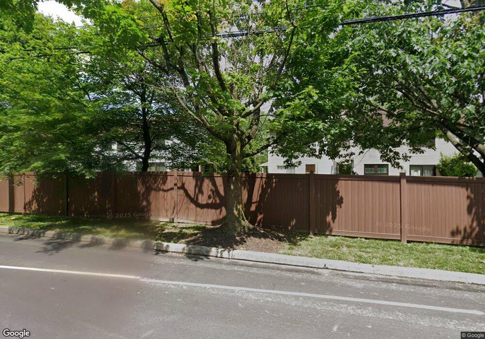
8 Pin Oak Ct Lafayette Hill, PA 19444
Estimated Value: $438,015 - $571,000
3
Beds
3
Baths
1,418
Sq Ft
$351/Sq Ft
Est. Value
About This Home
This home is located at 8 Pin Oak Ct, Lafayette Hill, PA 19444 and is currently estimated at $497,754, approximately $351 per square foot. 8 Pin Oak Ct is a home located in Montgomery County with nearby schools including Colonial Elementary School, Ridge Park Elementary School, and Colonial Middle School.
Ownership History
Date
Name
Owned For
Owner Type
Purchase Details
Closed on
Aug 21, 2008
Sold by
Smaltz Kelly
Bought by
Rothstein David I
Current Estimated Value
Home Financials for this Owner
Home Financials are based on the most recent Mortgage that was taken out on this home.
Original Mortgage
$238,000
Outstanding Balance
$158,941
Interest Rate
6.69%
Estimated Equity
$338,813
Purchase Details
Closed on
Jun 25, 2003
Sold by
Kovanda Brian J-Atty and Kovanda Kenneth W/Atty
Bought by
Smaltz Kelly
Purchase Details
Closed on
Jul 17, 2000
Sold by
Tenaglio Stephen and Tenaglio Joanne
Bought by
Kovanda Brian Jeffrey and Kovanda Kenneth W
Purchase Details
Closed on
Jun 28, 1996
Sold by
Volgraf Gerard J and Volgraf Joann
Bought by
Tenaglio Stephen and Tenaglio Joanne
Create a Home Valuation Report for This Property
The Home Valuation Report is an in-depth analysis detailing your home's value as well as a comparison with similar homes in the area
Home Values in the Area
Average Home Value in this Area
Purchase History
| Date | Buyer | Sale Price | Title Company |
|---|---|---|---|
| Rothstein David I | $297,500 | None Available | |
| Smaltz Kelly | $230,000 | -- | |
| Kovanda Brian Jeffrey | $173,000 | -- | |
| Tenaglio Stephen | $145,000 | Penn Title Insurance Co |
Source: Public Records
Mortgage History
| Date | Status | Borrower | Loan Amount |
|---|---|---|---|
| Open | Rothstein David I | $238,000 |
Source: Public Records
Tax History Compared to Growth
Tax History
| Year | Tax Paid | Tax Assessment Tax Assessment Total Assessment is a certain percentage of the fair market value that is determined by local assessors to be the total taxable value of land and additions on the property. | Land | Improvement |
|---|---|---|---|---|
| 2025 | $4,384 | $134,620 | $36,370 | $98,250 |
| 2024 | $4,384 | $134,620 | $36,370 | $98,250 |
| 2023 | $4,225 | $134,620 | $36,370 | $98,250 |
| 2022 | $4,129 | $134,620 | $36,370 | $98,250 |
| 2021 | $4,005 | $134,620 | $36,370 | $98,250 |
| 2020 | $3,858 | $134,620 | $36,370 | $98,250 |
| 2019 | $3,743 | $134,620 | $36,370 | $98,250 |
| 2018 | $793 | $134,620 | $36,370 | $98,250 |
| 2017 | $3,615 | $134,620 | $36,370 | $98,250 |
| 2016 | $3,562 | $134,620 | $36,370 | $98,250 |
| 2015 | $3,501 | $134,620 | $36,370 | $98,250 |
| 2014 | $3,405 | $134,620 | $36,370 | $98,250 |
Source: Public Records
Map
Nearby Homes
- 35 White Pine Ct
- 10 Gum Tree Rd
- 7 Plum Ct
- 2150 Julia Dr
- 506 Dogwood Ln
- 37 Scarlet Oak Dr
- 2134 Birch Dr
- 131 Barren Hill Rd
- 51 Scarlet Oak Dr
- 2017 Spring Mill Rd
- 631 Harts Ridge Rd
- 411 Roberts Ave
- 640 Harts Ridge Rd
- 264 Roberts Ave Unit 10
- 10 Maple Dr
- 3018 Mathers Mill Rd
- 451 Ridge Pike
- 0 Transition at Spring Mill Unit PAMC2106502
- 0 Transition at Spring Mill Unit PAMC2115970
- 0 Transition at Spring Mill Unit PAMC2116644
