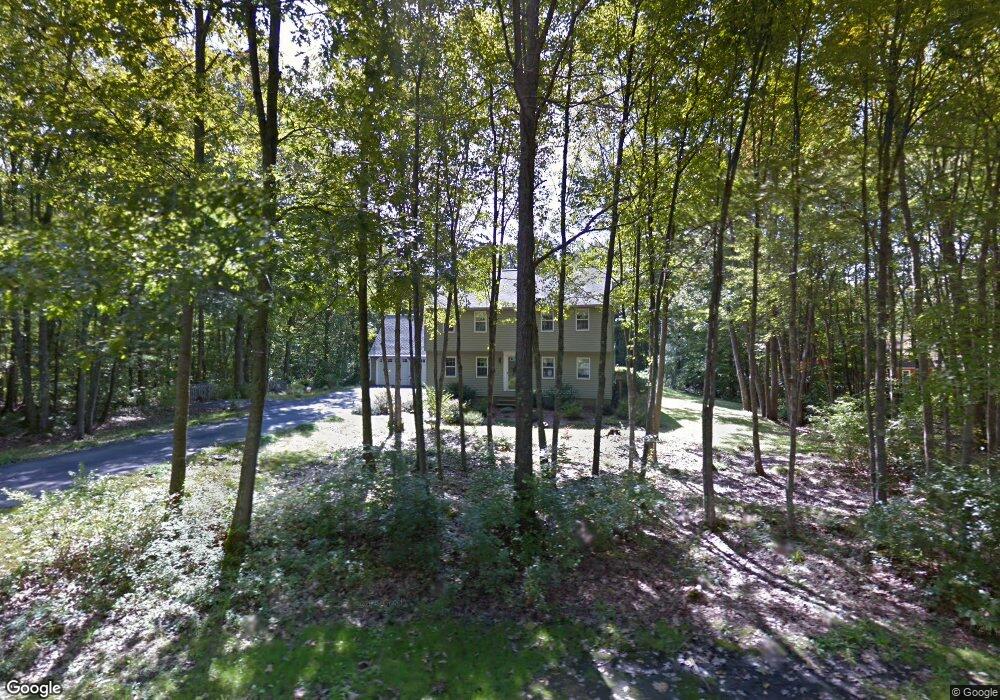
8 Pinecrest Dr Eliot, ME 03903
South Eliot NeighborhoodEstimated Value: $600,000 - $803,000
3
Beds
2
Baths
2,082
Sq Ft
$319/Sq Ft
Est. Value
About This Home
This home is located at 8 Pinecrest Dr, Eliot, ME 03903 and is currently estimated at $664,423, approximately $319 per square foot. 8 Pinecrest Dr is a home located in York County with nearby schools including Marshwood High School and Seacoast Waldorf School.
Ownership History
Date
Name
Owned For
Owner Type
Purchase Details
Closed on
Jan 6, 2025
Sold by
Picard Richard R and Picard Susanne
Bought by
Picard Ft and Picard
Current Estimated Value
Purchase Details
Closed on
May 2, 2012
Sold by
Picard Richard R and Picard Susanne
Bought by
Richard R Picard Ret and Picard
Create a Home Valuation Report for This Property
The Home Valuation Report is an in-depth analysis detailing your home's value as well as a comparison with similar homes in the area
Home Values in the Area
Average Home Value in this Area
Purchase History
| Date | Buyer | Sale Price | Title Company |
|---|---|---|---|
| Picard Ft | -- | None Available | |
| Picard Ft | -- | None Available | |
| Picard Ft | -- | None Available | |
| Richard R Picard Ret | -- | None Available | |
| Richard R Picard Ret | -- | None Available | |
| Richard R Picard Ret | -- | None Available |
Source: Public Records
Tax History
| Year | Tax Paid | Tax Assessment Tax Assessment Total Assessment is a certain percentage of the fair market value that is determined by local assessors to be the total taxable value of land and additions on the property. | Land | Improvement |
|---|---|---|---|---|
| 2024 | $5,469 | $461,500 | $147,600 | $313,900 |
| 2023 | $5,401 | $440,900 | $141,200 | $299,700 |
| 2022 | $5,162 | $426,600 | $141,200 | $285,400 |
| 2021 | $4,485 | $361,700 | $127,400 | $234,300 |
| 2020 | $3,545 | $331,400 | $122,100 | $209,300 |
| 2019 | $4,872 | $331,400 | $122,100 | $209,300 |
| 2018 | $3,370 | $331,400 | $122,100 | $209,300 |
| 2017 | $3,349 | $331,400 | $122,100 | $209,300 |
| 2016 | $3,336 | $331,400 | $122,100 | $209,300 |
| 2015 | $4,640 | $331,400 | $122,100 | $209,300 |
| 2014 | $4,573 | $331,400 | $122,100 | $209,300 |
| 2013 | $4,365 | $331,400 | $122,100 | $209,300 |
Source: Public Records
Map
Nearby Homes
- 1708 State Rd
- 18 Governor Hill Rd
- 10 Pasture Hill Dr
- Lot 2 Cedar Tbd
- 708 River Rd Unit 2
- 708 River Rd Unit 3
- 25 Heritage Dr
- 25 Fosters Dr
- 0 Franks Fort Island Unit 1650383
- 0 Cote Dr Unit 55B
- Slip B18 Little Bay
- 116 Heron Cove Rd
- 348 Dover Point Rd
- 354 Dover Point Rd
- 1128 State Rd
- 62 Village Dr Unit 62
- 18 Little Bay Dr
- 8 Caslyn Dr
- 18 Deborah Ln
- 41 Clearwater Dr
Your Personal Tour Guide
Ask me questions while you tour the home.