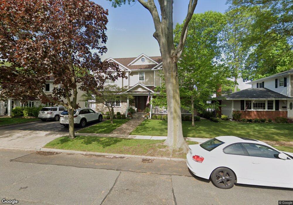
8 Plattsdale Rd Garden City, NY 11530
Estimated Value: $1,398,000 - $1,430,985
--
Bed
2
Baths
2,252
Sq Ft
$628/Sq Ft
Est. Value
About This Home
This home is located at 8 Plattsdale Rd, Garden City, NY 11530 and is currently estimated at $1,414,493, approximately $628 per square foot. 8 Plattsdale Rd is a home located in Nassau County with nearby schools including Homestead School, Stratford Avenue School, and Garden City Middle School.
Ownership History
Date
Name
Owned For
Owner Type
Purchase Details
Closed on
Apr 27, 2014
Sold by
Lyons Maureen
Bought by
Lyons Maureen and Lyons Terence Patrick
Current Estimated Value
Purchase Details
Closed on
Nov 12, 2009
Sold by
Deutsche Bank National Trust Company
Bought by
Lyons Maureen
Purchase Details
Closed on
May 18, 2005
Sold by
Cosme M
Bought by
Ardenali Ferrydoon
Purchase Details
Closed on
Mar 14, 2003
Sold by
Cosme M
Create a Home Valuation Report for This Property
The Home Valuation Report is an in-depth analysis detailing your home's value as well as a comparison with similar homes in the area
Home Values in the Area
Average Home Value in this Area
Purchase History
| Date | Buyer | Sale Price | Title Company |
|---|---|---|---|
| Lyons Maureen | -- | -- | |
| Lyons Maureen | $400,000 | -- | |
| Ardenali Ferrydoon | $600,000 | -- | |
| -- | -- | -- |
Source: Public Records
Tax History Compared to Growth
Tax History
| Year | Tax Paid | Tax Assessment Tax Assessment Total Assessment is a certain percentage of the fair market value that is determined by local assessors to be the total taxable value of land and additions on the property. | Land | Improvement |
|---|---|---|---|---|
| 2025 | $13,326 | $881 | $287 | $594 |
| 2024 | $2,019 | $951 | $310 | $641 |
| 2023 | $11,968 | $923 | $304 | $619 |
| 2022 | $11,968 | $941 | $310 | $631 |
| 2021 | $16,485 | $1,052 | $313 | $739 |
| 2020 | $14,022 | $1,348 | $1,120 | $228 |
| 2019 | $12,472 | $1,355 | $1,142 | $213 |
| 2018 | $11,694 | $1,355 | $0 | $0 |
| 2017 | $7,360 | $1,351 | $1,142 | $209 |
| 2016 | $9,388 | $1,351 | $1,082 | $269 |
| 2015 | $2,060 | $1,426 | $934 | $492 |
| 2014 | $2,060 | $1,426 | $934 | $492 |
| 2013 | $1,305 | $956 | $857 | $99 |
Source: Public Records
Map
Nearby Homes
- 92 Amherst St
- 1045 Cathedral Ave
- 71 Chester Ave
- 261 Fernwood Terrace
- 217 Elton Rd
- 700 Tulip Ave
- 182 Lexington Ave
- 67 Fernwood Terrace
- 7 Yale St
- 163 Herman Blvd
- 58 Dartmouth St
- 178 Farnum Blvd
- 31 Chester Ave
- 143 Bromleigh Rd
- 112 Bromleigh Rd
- 120 Barrymore Blvd
- 888 Court Rd
- 72 Harrison St
- 5 Wilson St
- 62 Herman Blvd
- 6 Plattsdale Rd
- 10 Plattsdale Rd
- 17 Adams St
- 15 Adams St
- 21 Adams St
- 95 Amherst St
- 48 New Hyde Park Rd
- 91 Amherst St
- 23 Adams St
- 36 New Hyde Park Rd
- 52 New Hyde Park Rd
- 27 Adams St
- 16 Adams St
- 43 New Hyde Park Rd Unit 1
- 14 Adams St
- 20 Adams St
- 96 Amherst St
- 45 New Hyde Park Rd
- 85 Amherst St
- 8 Cambridge Ave