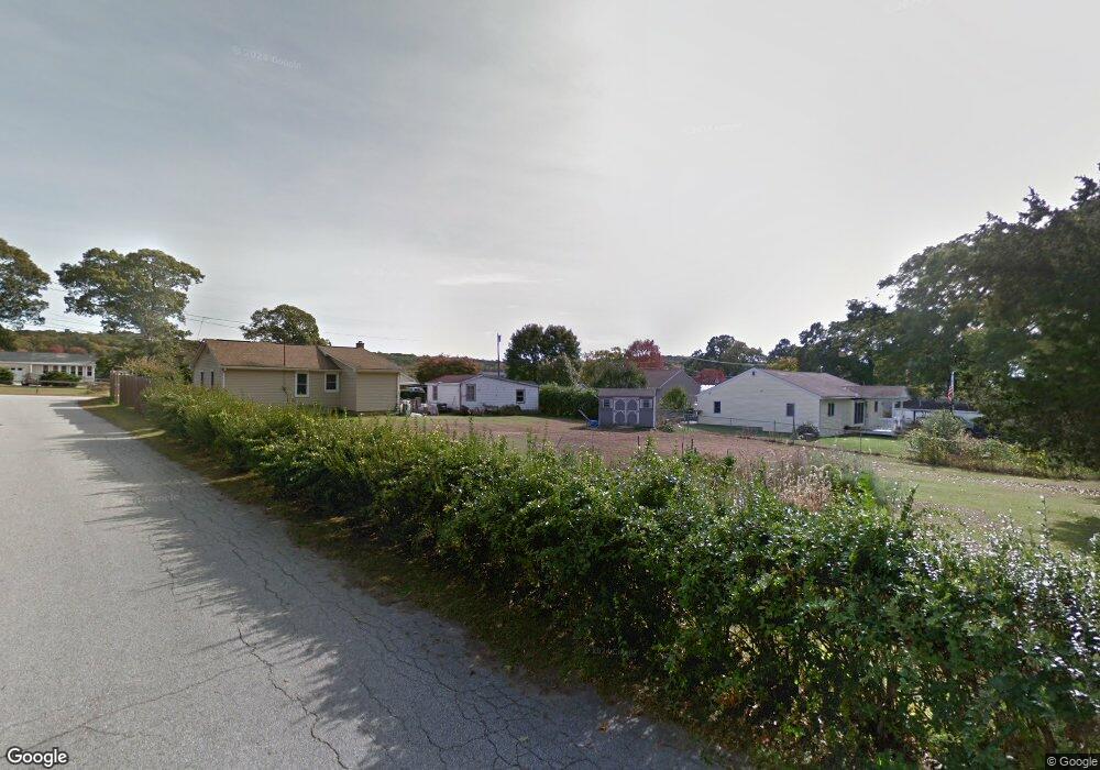
8 Point St Preston, CT 06365
Estimated Value: $223,691 - $304,000
1
Bed
1
Bath
699
Sq Ft
$375/Sq Ft
Est. Value
About This Home
This home is located at 8 Point St, Preston, CT 06365 and is currently estimated at $262,173, approximately $375 per square foot. 8 Point St is a home located in New London County with nearby schools including Integrated Day Charter School and St. Bernard School.
Create a Home Valuation Report for This Property
The Home Valuation Report is an in-depth analysis detailing your home's value as well as a comparison with similar homes in the area
Home Values in the Area
Average Home Value in this Area
Tax History
| Year | Tax Paid | Tax Assessment Tax Assessment Total Assessment is a certain percentage of the fair market value that is determined by local assessors to be the total taxable value of land and additions on the property. | Land | Improvement |
|---|---|---|---|---|
| 2025 | $2,883 | $114,800 | $40,530 | $74,270 |
| 2024 | $2,683 | $114,800 | $40,530 | $74,270 |
| 2023 | $2,635 | $114,800 | $40,530 | $74,270 |
| 2022 | $2,283 | $81,900 | $35,200 | $46,700 |
| 2021 | $2,206 | $81,900 | $35,200 | $46,700 |
| 2020 | $2,203 | $81,900 | $35,200 | $46,700 |
| 2019 | $2,165 | $81,900 | $35,200 | $46,700 |
| 2018 | $2,132 | $81,900 | $35,200 | $46,700 |
| 2017 | $2,016 | $84,000 | $35,200 | $48,800 |
| 2016 | $1,995 | $84,000 | $35,200 | $48,800 |
| 2015 | $1,932 | $84,000 | $35,200 | $48,800 |
| 2014 | $1,944 | $84,000 | $35,200 | $48,800 |
Source: Public Records
Map
Nearby Homes
- 43 Drawbridge Rd
- 3 Holdsworth Rd
- 4 N Glenwoods Rd
- 1918 Route 12
- 36 Bittersweet Dr
- 16 Marlene Dr
- 51 Dydo Dr
- 27 Linda Ave
- 0 Clarks Falls Unit 24089817
- 23 Avery Hill Rd
- 9 Oakridge Dr
- 104 Route 2a
- 183 Whalehead Rd
- 61 Fort Shantok Rd
- 1637 Connecticut 12
- 165 Massapeag Rd
- 1465 Norwich New London (Rte 32) Turnpike
- 31 Woodland Dr
- 32 Cedar Ln
- 36 Route 2a
Your Personal Tour Guide
Ask me questions while you tour the home.