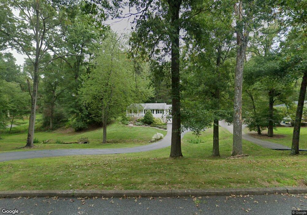
8 Prescott Cir Lebanon, NJ 08833
Estimated Value: $497,000 - $596,000
--
Bed
--
Bath
1,473
Sq Ft
$367/Sq Ft
Est. Value
About This Home
This home is located at 8 Prescott Cir, Lebanon, NJ 08833 and is currently estimated at $540,070, approximately $366 per square foot. 8 Prescott Cir is a home located in Hunterdon County with nearby schools including Patrick McGaheran School, Spruce Run School, and Round Valley School.
Ownership History
Date
Name
Owned For
Owner Type
Purchase Details
Closed on
Aug 23, 2010
Sold by
Gibbons James and Gibbons Donna T
Bought by
Corcoran Robert P and Corcoran Nancy L
Current Estimated Value
Home Financials for this Owner
Home Financials are based on the most recent Mortgage that was taken out on this home.
Original Mortgage
$256,000
Outstanding Balance
$169,326
Interest Rate
4.55%
Mortgage Type
New Conventional
Estimated Equity
$370,744
Purchase Details
Closed on
Aug 19, 2000
Sold by
Welch Kevin
Bought by
Gibbons James and Gibbons Donna T
Home Financials for this Owner
Home Financials are based on the most recent Mortgage that was taken out on this home.
Original Mortgage
$238,500
Interest Rate
8.07%
Purchase Details
Closed on
Dec 2, 1992
Sold by
Greene Maurice A and Greene Mary
Bought by
Welch Kevin and Welch Karen
Create a Home Valuation Report for This Property
The Home Valuation Report is an in-depth analysis detailing your home's value as well as a comparison with similar homes in the area
Home Values in the Area
Average Home Value in this Area
Purchase History
| Date | Buyer | Sale Price | Title Company |
|---|---|---|---|
| Corcoran Robert P | $320,000 | None Available | |
| Gibbons James | $265,000 | -- | |
| Welch Kevin | $189,000 | -- |
Source: Public Records
Mortgage History
| Date | Status | Borrower | Loan Amount |
|---|---|---|---|
| Open | Corcoran Robert P | $256,000 | |
| Previous Owner | Gibbons James | $238,500 |
Source: Public Records
Tax History Compared to Growth
Tax History
| Year | Tax Paid | Tax Assessment Tax Assessment Total Assessment is a certain percentage of the fair market value that is determined by local assessors to be the total taxable value of land and additions on the property. | Land | Improvement |
|---|---|---|---|---|
| 2025 | $8,442 | $283,200 | $128,300 | $154,900 |
| 2024 | $8,182 | $283,200 | $128,300 | $154,900 |
| 2023 | $8,182 | $283,200 | $128,300 | $154,900 |
| 2022 | $7,952 | $283,200 | $128,300 | $154,900 |
| 2021 | $7,508 | $283,200 | $128,300 | $154,900 |
| 2020 | $7,632 | $283,200 | $128,300 | $154,900 |
| 2019 | $7,508 | $283,200 | $128,300 | $154,900 |
| 2018 | $7,423 | $283,200 | $128,300 | $154,900 |
| 2017 | $7,185 | $283,200 | $128,300 | $154,900 |
| 2016 | $7,176 | $283,200 | $128,300 | $154,900 |
| 2015 | $7,222 | $283,200 | $128,300 | $154,900 |
| 2014 | $7,057 | $283,200 | $128,300 | $154,900 |
Source: Public Records
Map
Nearby Homes
- 525 Stanton Station Rd
- 8 Hartpence Ct
- 1 Cheshire Ct
- 6 Cheshire Ct
- 154 River Rd
- 5 Chrystal Dr
- 23 Spring Hill Rd
- 7 Oxford Dr
- 10 Blue Cliff Dr
- 121 Stanton Mountain Rd
- 6 Fawn Ridge Rd
- 14 William Barnes Rd
- 5 Sky View Garden Rd
- 62 Allerton Rd
- 111 Allerton Rd
- 59 Cherryville Stanton Rd
- 9 Sidney School Rd
- 4 Westminster Dr
- 70 Sidney School Rd
- 69 Sidney School Rd