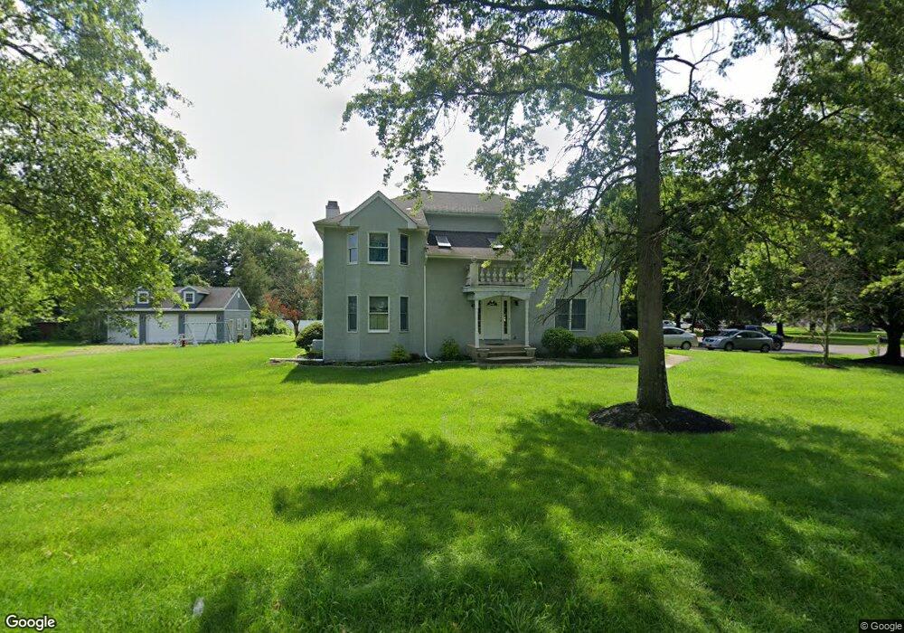
8 Quail Dr Beverly, NJ 08010
Estimated Value: $554,000 - $615,684
Studio
--
Bath
2,678
Sq Ft
$219/Sq Ft
Est. Value
About This Home
This home is located at 8 Quail Dr, Beverly, NJ 08010 and is currently estimated at $586,671, approximately $219 per square foot. 8 Quail Dr is a home located in Burlington County with nearby schools including Magowan Elementary School, Samuel M Ridgway School, and Benjamin Banneker Prep Charter School.
Ownership History
Date
Name
Owned For
Owner Type
Purchase Details
Closed on
Jun 28, 2002
Sold by
Cannuli Dean and Cannuli Carol
Bought by
Gyasi Isaac
Current Estimated Value
Home Financials for this Owner
Home Financials are based on the most recent Mortgage that was taken out on this home.
Original Mortgage
$236,000
Outstanding Balance
$100,825
Interest Rate
6.82%
Estimated Equity
$485,846
Purchase Details
Closed on
Dec 31, 1996
Sold by
Rodrigues Joseph and Rodrigues Lisete
Bought by
Cannuli Dean A and Cannuli Carol
Create a Home Valuation Report for This Property
The Home Valuation Report is an in-depth analysis detailing your home's value as well as a comparison with similar homes in the area
Home Values in the Area
Average Home Value in this Area
Purchase History
| Date | Buyer | Sale Price | Title Company |
|---|---|---|---|
| Gyasi Isaac | $295,000 | Integrity Title Agency | |
| Cannuli Dean A | $200,000 | Chicago Title Insurance Co |
Source: Public Records
Mortgage History
| Date | Status | Borrower | Loan Amount |
|---|---|---|---|
| Open | Gyasi Isaac | $236,000 |
Source: Public Records
Tax History
| Year | Tax Paid | Tax Assessment Tax Assessment Total Assessment is a certain percentage of the fair market value that is determined by local assessors to be the total taxable value of land and additions on the property. | Land | Improvement |
|---|---|---|---|---|
| 2025 | $12,190 | $360,900 | $86,300 | $274,600 |
| 2024 | $12,063 | $351,600 | $86,300 | $265,300 |
| 2023 | $12,063 | $351,600 | $86,300 | $265,300 |
| 2022 | $12,028 | $351,600 | $86,300 | $265,300 |
| 2021 | $11,838 | $351,600 | $86,300 | $265,300 |
| 2020 | $11,452 | $351,600 | $86,300 | $265,300 |
| 2019 | $10,819 | $351,600 | $86,300 | $265,300 |
| 2018 | $10,580 | $351,600 | $86,300 | $265,300 |
| 2017 | $10,379 | $351,600 | $86,300 | $265,300 |
| 2016 | $9,799 | $351,600 | $86,300 | $265,300 |
| 2015 | $9,440 | $351,600 | $86,300 | $265,300 |
| 2014 | $8,931 | $351,600 | $86,300 | $265,300 |
Source: Public Records
Map
Nearby Homes
- 32 Quail Dr
- 740 Perkins Ln
- 15 Walton Way
- 6 Preston Ln
- 410 Illinois Ave
- 610 Lee Ave
- 275 Green St Unit 5-H4
- 275 Green St Unit 4-I6
- 2201 Burlington Ave
- 431 Larchmont Dr
- 1475 Mount Holly Rd Unit 4
- 1475 Mount Holly Rd Unit L2
- 1475 Mount Holly Rd Unit O4
- 390 Wheatley Ave
- 530 Magnolia St
- 13 River Ln Unit V13
- 509 Laurel St
- 400 Magnolia St
- 67 Pennington Ct
- 6 Fawn Ct Unit Z6
Your Personal Tour Guide
Ask me questions while you tour the home.