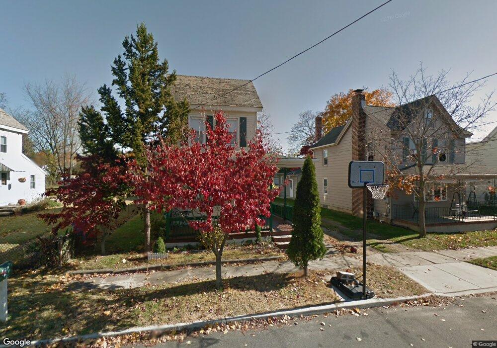
8 Railroad Ave Bridgeport, NJ 08014
Logan Township NeighborhoodEstimated Value: $206,785 - $247,000
--
Bed
--
Bath
1,293
Sq Ft
$173/Sq Ft
Est. Value
About This Home
This home is located at 8 Railroad Ave, Bridgeport, NJ 08014 and is currently estimated at $223,446, approximately $172 per square foot. 8 Railroad Ave is a home with nearby schools including Logan Township Elementary School.
Ownership History
Date
Name
Owned For
Owner Type
Purchase Details
Closed on
Jun 24, 2022
Sold by
Caltabiano Steven M
Bought by
Mchale Shelby
Current Estimated Value
Home Financials for this Owner
Home Financials are based on the most recent Mortgage that was taken out on this home.
Original Mortgage
$152,192
Outstanding Balance
$144,582
Interest Rate
5.09%
Mortgage Type
FHA
Estimated Equity
$78,864
Purchase Details
Closed on
Dec 5, 2003
Sold by
Caltabiano Salvatore A and Caltabiano Anna M
Bought by
Caltabiano Steven M
Create a Home Valuation Report for This Property
The Home Valuation Report is an in-depth analysis detailing your home's value as well as a comparison with similar homes in the area
Home Values in the Area
Average Home Value in this Area
Purchase History
| Date | Buyer | Sale Price | Title Company |
|---|---|---|---|
| Mchale Shelby | $155,000 | First American Title | |
| Mchale Shelby | $155,000 | First American Title | |
| Caltabiano Steven M | $35,000 | -- |
Source: Public Records
Mortgage History
| Date | Status | Borrower | Loan Amount |
|---|---|---|---|
| Open | Mchale Shelby | $152,192 | |
| Closed | Mchale Shelby | $152,192 |
Source: Public Records
Tax History Compared to Growth
Tax History
| Year | Tax Paid | Tax Assessment Tax Assessment Total Assessment is a certain percentage of the fair market value that is determined by local assessors to be the total taxable value of land and additions on the property. | Land | Improvement |
|---|---|---|---|---|
| 2025 | $2,695 | $207,300 | $48,800 | $158,500 |
| 2024 | $2,472 | $207,300 | $48,800 | $158,500 |
| 2023 | $2,472 | $123,000 | $23,800 | $99,200 |
| 2022 | $2,569 | $123,000 | $23,800 | $99,200 |
| 2021 | $2,615 | $123,000 | $23,800 | $99,200 |
| 2020 | $2,675 | $123,000 | $23,800 | $99,200 |
| 2019 | $2,672 | $123,000 | $23,800 | $99,200 |
| 2018 | $2,598 | $123,000 | $23,800 | $99,200 |
| 2017 | $3,239 | $129,200 | $22,500 | $106,700 |
| 2016 | $3,186 | $129,200 | $22,500 | $106,700 |
| 2015 | $2,817 | $129,200 | $22,500 | $106,700 |
| 2014 | $2,731 | $129,200 | $22,500 | $106,700 |
Source: Public Records
Map
Nearby Homes
- 71 Main St
- 17 Hickory Ln
- 126 Repaupo Station Rd
- 43 45 Repaupo Station Rd
- 788 Paulsboro Rd
- 792 Paulsboro Rd
- 112 Carriage Ln
- 103 Highland Ave
- 103 Thurlow St Unit 306
- 2153 Route 322
- 223 Jeffrey St
- 12 Parker St
- 0 Palmer St Unit PADE2073654
- 328 Pedricktown Rd
- 2821 W 3rd St
- 55 Hamilton St
- 1402 W 3rd St
- 803 W Mary St
- 2325 W 4th St
- 0 Price St