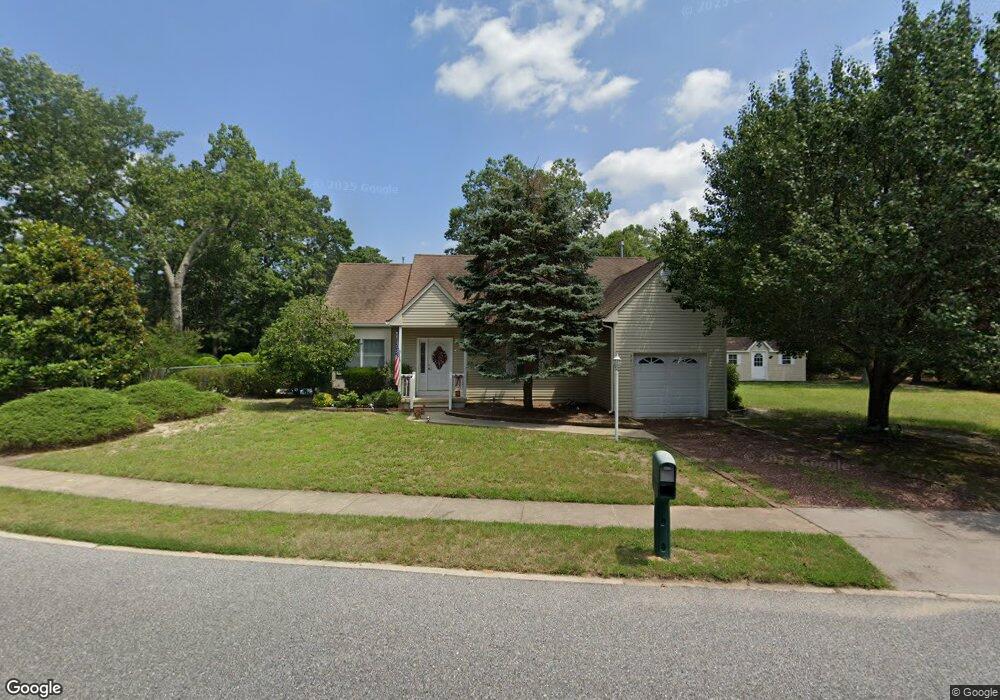
8 Rainbow Dr Mays Landing, NJ 08330
Estimated Value: $355,111 - $373,000
--
Bed
--
Bath
1,440
Sq Ft
$254/Sq Ft
Est. Value
About This Home
This home is located at 8 Rainbow Dr, Mays Landing, NJ 08330 and is currently estimated at $366,278, approximately $254 per square foot. 8 Rainbow Dr is a home located in Atlantic County with nearby schools including Joseph Shaner School, George L. Hess Educational Complex, and William Davies Middle School.
Ownership History
Date
Name
Owned For
Owner Type
Purchase Details
Closed on
Nov 17, 2009
Sold by
Baker Dean J
Bought by
Federal Home Loan Mortgage Corporation
Current Estimated Value
Purchase Details
Closed on
Feb 18, 2005
Sold by
Vukajovic Dusan
Bought by
Baker Dean
Home Financials for this Owner
Home Financials are based on the most recent Mortgage that was taken out on this home.
Original Mortgage
$191,200
Interest Rate
5.73%
Mortgage Type
Purchase Money Mortgage
Purchase Details
Closed on
Dec 29, 1995
Sold by
Misty Pines Corp
Bought by
Vukajlovic Dusan
Create a Home Valuation Report for This Property
The Home Valuation Report is an in-depth analysis detailing your home's value as well as a comparison with similar homes in the area
Home Values in the Area
Average Home Value in this Area
Purchase History
| Date | Buyer | Sale Price | Title Company |
|---|---|---|---|
| Federal Home Loan Mortgage Corporation | -- | None Available | |
| Baker Dean | $239,000 | -- | |
| Vukajlovic Dusan | $122,425 | Freedom Title & Abstract |
Source: Public Records
Mortgage History
| Date | Status | Borrower | Loan Amount |
|---|---|---|---|
| Previous Owner | Baker Dean | $191,200 |
Source: Public Records
Tax History Compared to Growth
Tax History
| Year | Tax Paid | Tax Assessment Tax Assessment Total Assessment is a certain percentage of the fair market value that is determined by local assessors to be the total taxable value of land and additions on the property. | Land | Improvement |
|---|---|---|---|---|
| 2025 | $6,107 | $178,000 | $54,400 | $123,600 |
| 2024 | $6,107 | $178,000 | $54,400 | $123,600 |
| 2023 | $5,742 | $178,000 | $54,400 | $123,600 |
| 2022 | $5,742 | $178,000 | $54,400 | $123,600 |
| 2021 | $5,730 | $178,000 | $54,400 | $123,600 |
| 2020 | $5,730 | $178,000 | $54,400 | $123,600 |
| 2019 | $5,744 | $178,000 | $54,400 | $123,600 |
| 2018 | $5,543 | $178,000 | $54,400 | $123,600 |
| 2017 | $5,456 | $178,000 | $54,400 | $123,600 |
| 2016 | $5,303 | $178,000 | $54,400 | $123,600 |
| 2015 | $5,123 | $178,000 | $54,400 | $123,600 |
| 2014 | $5,194 | $197,700 | $59,400 | $138,300 |
Source: Public Records
Map
Nearby Homes
- 0 Harding Hwy Unit NJAC2019438
- 0 Harding Hwy Unit 597638
- 6301 Roberts Ave
- 6314 Lance Ave
- 6206 Roberts Ave
- 6140 Robin Dr
- 6310 Phillips Ave
- 6301 Knight Ave
- 37 Delancy Ct
- 150 Rainbow Dr
- 5 Camac Ave
- 16 Holly Ct
- 24 Holly Ct
- 80 Mill St
- 13 Hickory Ln
- 14 Hickory Ln
- 10 Locust Ct
- 6062 Main St
- 32 Hickory Ln Unit 215
- 43 Hickory Ln